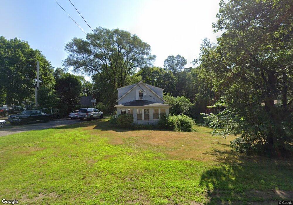
107 Walnut St Unit 1 Mansfield, MA 02048
Estimated Value: $478,000 - $539,000
2
Beds
1
Bath
1,080
Sq Ft
$469/Sq Ft
Est. Value
About This Home
This home is located at 107 Walnut St Unit 1, Mansfield, MA 02048 and is currently estimated at $506,691, approximately $469 per square foot. 107 Walnut St Unit 1 is a home located in Bristol County with nearby schools including Everett W. Robinson Elementary School, Jordan/Jackson Elementary School, and Harold L. Qualters Middle School.
Ownership History
Date
Name
Owned For
Owner Type
Purchase Details
Closed on
Aug 31, 2023
Sold by
Epstein James M Est and Mariano-Epstein
Bought by
Mariano-Epstein Linda
Current Estimated Value
Purchase Details
Closed on
Nov 30, 2009
Sold by
Campbell Donna M
Bought by
Epstein Lester S and Epstein James M
Purchase Details
Closed on
Apr 30, 2009
Sold by
Campbell Scott P
Bought by
Campbell Donna M
Create a Home Valuation Report for This Property
The Home Valuation Report is an in-depth analysis detailing your home's value as well as a comparison with similar homes in the area
Home Values in the Area
Average Home Value in this Area
Purchase History
| Date | Buyer | Sale Price | Title Company |
|---|---|---|---|
| Mariano-Epstein Linda | -- | None Available | |
| Epstein Lester S | $232,000 | -- | |
| Campbell Donna M | -- | -- |
Source: Public Records
Tax History Compared to Growth
Tax History
| Year | Tax Paid | Tax Assessment Tax Assessment Total Assessment is a certain percentage of the fair market value that is determined by local assessors to be the total taxable value of land and additions on the property. | Land | Improvement |
|---|---|---|---|---|
| 2025 | $5,546 | $421,100 | $244,700 | $176,400 |
| 2024 | $5,607 | $415,300 | $244,700 | $170,600 |
| 2023 | $5,511 | $391,100 | $244,700 | $146,400 |
| 2022 | $5,466 | $360,300 | $226,600 | $133,700 |
| 2021 | $3,102 | $331,100 | $198,300 | $132,800 |
| 2020 | $4,883 | $303,900 | $188,900 | $115,000 |
| 2019 | $2,816 | $287,700 | $157,300 | $130,400 |
| 2018 | $4,542 | $274,500 | $150,000 | $124,500 |
| 2017 | $2,403 | $267,900 | $145,800 | $122,100 |
| 2016 | $3,843 | $249,400 | $138,800 | $110,600 |
| 2015 | $3,715 | $239,700 | $138,800 | $100,900 |
Source: Public Records
Map
Nearby Homes
- 450 West St
- 132 S High St
- 115 S High St
- 16 Bradner St
- 356 Central St
- 150 Rumford Ave Unit 222
- 241-243 N Main St
- 22 Pleasant St Unit B
- 22 Pleasant St Unit A
- 60 King St
- 28 Angell St
- 28 Court St
- 28 Court St Unit 4
- 38 Court St
- 16 East St Unit 2
- 76 Samoset Ave
- 21 East St Unit 1D
- 72 Court St Unit B
- 99 Pleasant St
- 82 Brook St