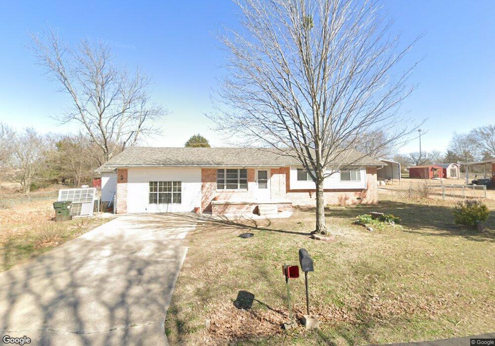
107 Westland Dr Sapulpa, OK 74066
Estimated Value: $186,000 - $248,000
3
Beds
2
Baths
1,506
Sq Ft
$141/Sq Ft
Est. Value
About This Home
This home is located at 107 Westland Dr, Sapulpa, OK 74066 and is currently estimated at $212,840, approximately $141 per square foot. 107 Westland Dr is a home located in Creek County with nearby schools including Sapulpa Middle School, Sapulpa Junior High School, and Sapulpa High School.
Ownership History
Date
Name
Owned For
Owner Type
Purchase Details
Closed on
Jan 27, 2025
Sold by
Goodman Jewell B
Bought by
Goodman Jewell B and Goodman Mindy
Current Estimated Value
Create a Home Valuation Report for This Property
The Home Valuation Report is an in-depth analysis detailing your home's value as well as a comparison with similar homes in the area
Home Values in the Area
Average Home Value in this Area
Purchase History
| Date | Buyer | Sale Price | Title Company |
|---|---|---|---|
| Goodman Jewell B | -- | None Listed On Document |
Source: Public Records
Tax History Compared to Growth
Tax History
| Year | Tax Paid | Tax Assessment Tax Assessment Total Assessment is a certain percentage of the fair market value that is determined by local assessors to be the total taxable value of land and additions on the property. | Land | Improvement |
|---|---|---|---|---|
| 2025 | $479 | $5,587 | $865 | $4,722 |
| 2024 | $479 | $5,587 | $950 | $4,637 |
| 2023 | $479 | $5,587 | $1,001 | $4,586 |
| 2022 | $457 | $5,587 | $1,020 | $4,567 |
| 2021 | $467 | $5,587 | $1,226 | $4,361 |
| 2020 | $472 | $5,587 | $1,466 | $4,121 |
| 2019 | $481 | $5,587 | $1,438 | $4,149 |
| 2018 | $489 | $5,587 | $1,566 | $4,021 |
| 2017 | $490 | $5,587 | $1,566 | $4,021 |
| 2016 | $457 | $5,587 | $1,566 | $4,021 |
| 2015 | -- | $5,587 | $1,566 | $4,021 |
| 2014 | -- | $5,587 | $1,506 | $4,081 |
Source: Public Records
Map
Nearby Homes
- 2000 W Taft Ave
- 1401 Panther Ln
- 21 Johnson Dr
- 1203 Johnson Dr
- 1755 S Stephanie St
- 1330 Panther Ln
- 1160 W Keeling Ave
- 1120 W Keeling Ave
- 10 Sahoma Lake Rd
- 9043 S 152nd West Ave
- 215 S Hawthorne St
- 4244 N Spocogee St
- 1522 N Spocogee St
- 3335 N Spocogee St
- 00 Sahoma Lake Rd
- 408 S Muskogee St
- 920 S Oklahoma St
- 706 S Oklahoma St
- 925 S Oklahoma St
- 909 S Oklahoma St
- 105 Westland Dr
- 109 Westland Dr
- 108 Westland Dr
- 106 Westland Dr
- 110 Westland Dr
- 103 Westland Dr
- 111 Westland Dr
- 12010 Sunset Ln
- 12044 Sunset Ln
- 112 Westland Acres
- 104 Westland Dr
- 112 Westland Dr
- 12028 Sunset Ln
- 11962 Sunset Ln
- 12062 Sunset Ln
- 101 Westland Dr
- 102 Westland Dr
- 11952 Sunset Ln
- 11942 Sunset Ln
- 100 Westland Dr