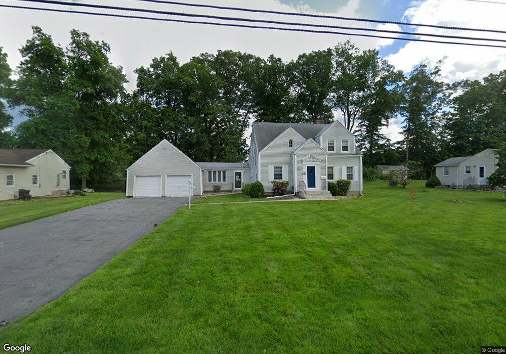
107 White Rock Dr Windsor, CT 06095
West Windsor NeighborhoodEstimated Value: $325,000 - $380,000
4
Beds
2
Baths
2,021
Sq Ft
$174/Sq Ft
Est. Value
About This Home
This home is located at 107 White Rock Dr, Windsor, CT 06095 and is currently estimated at $352,056, approximately $174 per square foot. 107 White Rock Dr is a home located in Hartford County with nearby schools including Poquonock Elementary School, Clover Street School, and Sage Park Middle School.
Ownership History
Date
Name
Owned For
Owner Type
Purchase Details
Closed on
Dec 5, 2016
Sold by
Teal Alyce L
Bought by
Teal Alyce L
Current Estimated Value
Purchase Details
Closed on
Mar 26, 2015
Sold by
Teal Arthur L
Bought by
Alyce L L and Alyce Arthur L
Create a Home Valuation Report for This Property
The Home Valuation Report is an in-depth analysis detailing your home's value as well as a comparison with similar homes in the area
Home Values in the Area
Average Home Value in this Area
Purchase History
| Date | Buyer | Sale Price | Title Company |
|---|---|---|---|
| Teal Alyce L | -- | -- | |
| Alyce L L | -- | -- | |
| Alyce L L | -- | -- |
Source: Public Records
Mortgage History
| Date | Status | Borrower | Loan Amount |
|---|---|---|---|
| Previous Owner | Alyce L L | $80,000 | |
| Previous Owner | Alyce L L | $106,000 | |
| Previous Owner | Alyce L L | $103,200 |
Source: Public Records
Tax History Compared to Growth
Tax History
| Year | Tax Paid | Tax Assessment Tax Assessment Total Assessment is a certain percentage of the fair market value that is determined by local assessors to be the total taxable value of land and additions on the property. | Land | Improvement |
|---|---|---|---|---|
| 2025 | $5,986 | $210,420 | $54,460 | $155,960 |
| 2024 | $6,380 | $210,420 | $54,460 | $155,960 |
| 2023 | $4,304 | $128,100 | $38,220 | $89,880 |
| 2022 | $4,262 | $128,100 | $38,220 | $89,880 |
| 2021 | $4,262 | $128,100 | $38,220 | $89,880 |
| 2020 | $4,241 | $128,100 | $38,220 | $89,880 |
| 2019 | $4,148 | $128,100 | $38,220 | $89,880 |
| 2018 | $4,109 | $124,670 | $38,220 | $86,450 |
| 2017 | $4,046 | $124,670 | $38,220 | $86,450 |
| 2016 | $3,930 | $124,670 | $38,220 | $86,450 |
| 2015 | $3,855 | $124,670 | $38,220 | $86,450 |
| 2014 | $3,799 | $124,670 | $38,220 | $86,450 |
Source: Public Records
Map
Nearby Homes
- 89 E Wolcott Ave
- 82 Ashford St Unit 84
- 70 Ashford St
- 14 Bennett Cir
- 3 Saville St
- 17 Lyme St
- 175 E Pershing St
- 117 E Harold St
- 13 Patton Rd
- 12 London Rd
- 75 Cleveland Ave
- 17 Mills Rd
- 97 E Burnham St
- 97 Boothbay St
- 67 Elizabeth Ave
- 30 Harding Ave
- 36 Baltic St Unit 38
- 26 Baltic St Unit 28
- 125 Lebanon St Unit 127
- 10 Baltic St Unit 12
- 99 White Rock Dr
- 115 White Rock Dr
- 93 White Rock Dr
- 123 White Rock Dr
- 104 White Rock Dr
- 110 White Rock Dr
- 98 White Rock Dr
- 87 White Rock Dr
- 116 White Rock Dr
- 92 White Rock Dr
- 122 White Rock Dr
- 129 White Rock Dr
- 81 White Rock Dr
- 86 White Rock Dr
- 128 White Rock Dr
- 137 White Rock Dr
- 80 White Rock Dr
- 75 White Rock Dr
- 134 White Rock Dr
- 74 White Rock Dr