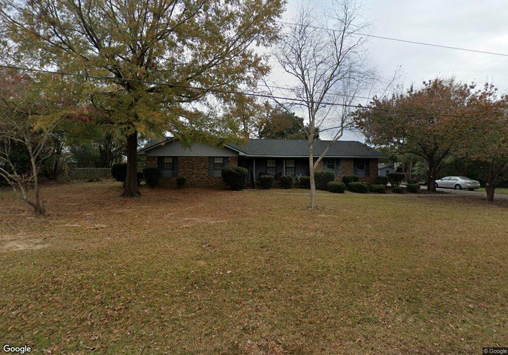
107 Wilburn Cir Statesboro, GA 30458
Estimated Value: $209,000 - $237,201
3
Beds
2
Baths
1,726
Sq Ft
$133/Sq Ft
Est. Value
About This Home
This home is located at 107 Wilburn Cir, Statesboro, GA 30458 and is currently estimated at $228,800, approximately $132 per square foot. 107 Wilburn Cir is a home located in Bulloch County with nearby schools including Statesboro High School, Mill Creek Elementary School, and Langston Chapel Middle School.
Ownership History
Date
Name
Owned For
Owner Type
Purchase Details
Closed on
Jan 13, 2006
Sold by
Not Provided
Bought by
Cartee Ellis
Current Estimated Value
Home Financials for this Owner
Home Financials are based on the most recent Mortgage that was taken out on this home.
Original Mortgage
$70,273
Outstanding Balance
$39,358
Interest Rate
6.21%
Mortgage Type
New Conventional
Estimated Equity
$189,442
Purchase Details
Closed on
May 1, 2000
Bought by
Brannen Mrs Mildred H
Purchase Details
Closed on
Oct 1, 1996
Bought by
Burdette Ii Jackie B
Create a Home Valuation Report for This Property
The Home Valuation Report is an in-depth analysis detailing your home's value as well as a comparison with similar homes in the area
Home Values in the Area
Average Home Value in this Area
Purchase History
| Date | Buyer | Sale Price | Title Company |
|---|---|---|---|
| Cartee Ellis | $105,000 | -- | |
| Brannen Mrs Mildred H | -- | -- | |
| Burdette Ii Jackie B | -- | -- |
Source: Public Records
Mortgage History
| Date | Status | Borrower | Loan Amount |
|---|---|---|---|
| Open | Cartee Ellis | $70,273 |
Source: Public Records
Tax History Compared to Growth
Tax History
| Year | Tax Paid | Tax Assessment Tax Assessment Total Assessment is a certain percentage of the fair market value that is determined by local assessors to be the total taxable value of land and additions on the property. | Land | Improvement |
|---|---|---|---|---|
| 2024 | $1,873 | $68,324 | $8,280 | $60,044 |
| 2023 | $1,975 | $68,964 | $8,200 | $60,764 |
| 2022 | $1,184 | $60,380 | $8,200 | $52,180 |
| 2021 | $1,058 | $52,479 | $8,200 | $44,279 |
| 2020 | $1,037 | $49,984 | $8,200 | $41,784 |
| 2019 | $1,048 | $50,222 | $8,200 | $42,022 |
| 2018 | $1,038 | $47,688 | $8,200 | $39,488 |
| 2017 | $1,018 | $46,242 | $8,200 | $38,042 |
| 2016 | $1,020 | $45,153 | $8,200 | $36,953 |
| 2015 | $989 | $43,582 | $8,200 | $35,382 |
| 2014 | $908 | $43,582 | $8,200 | $35,382 |
Source: Public Records
Map
Nearby Homes
- 112 Stratford St
- 0 E Main St Unit 10464174
- 118 Lee St
- 0 Green Ridge Ct Unit 40 8990863
- 316 E Main St
- 362 Savannah Ave
- 360 Savannah Ave
- 342 Savannah Ave
- 0 Northside Dr E Unit 10610985
- 15 N Gordon St
- 227 E Main St
- LOT 21 Oak Hill Dr
- 203 Gentilly Rd
- 313 Gentilly Rd
- 0 Hwy 301 Bypass and Jones Mill Rd Unit 10516580
- 111 S Mulberry St
- 103 Scotdale Ct
- 313 Donaldson St
- 0 Highway 67 Unit 10541885
- 0 U S 301 Unit 24576764