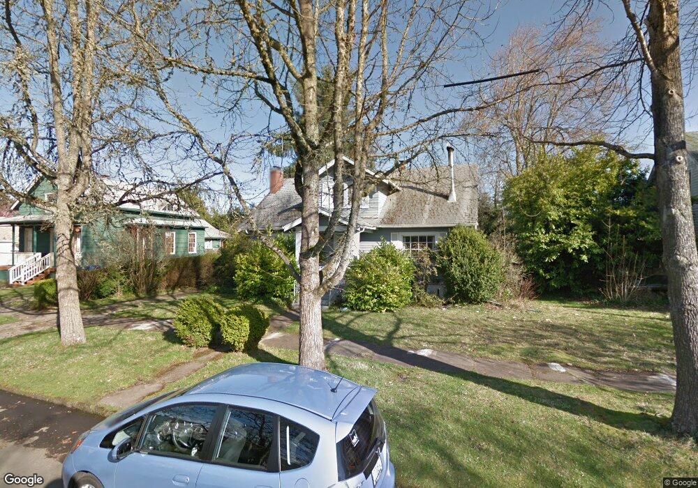
1070 15th St NE Salem, OR 97301
Northeast Neighbors NeighborhoodEstimated Value: $444,000 - $528,000
1
Bed
2
Baths
2,423
Sq Ft
$202/Sq Ft
Est. Value
About This Home
This home is located at 1070 15th St NE, Salem, OR 97301 and is currently estimated at $488,272, approximately $201 per square foot. 1070 15th St NE is a home located in Marion County with nearby schools including Englewood Elementary School, Parrish Middle School, and North Salem High School.
Ownership History
Date
Name
Owned For
Owner Type
Purchase Details
Closed on
Aug 31, 2004
Sold by
Patch Dorothy T
Bought by
Wrosch Thomas E and Wrosch Elizabeth A
Current Estimated Value
Home Financials for this Owner
Home Financials are based on the most recent Mortgage that was taken out on this home.
Original Mortgage
$127,920
Outstanding Balance
$62,774
Interest Rate
5.95%
Mortgage Type
Purchase Money Mortgage
Estimated Equity
$425,498
Create a Home Valuation Report for This Property
The Home Valuation Report is an in-depth analysis detailing your home's value as well as a comparison with similar homes in the area
Home Values in the Area
Average Home Value in this Area
Purchase History
| Date | Buyer | Sale Price | Title Company |
|---|---|---|---|
| Wrosch Thomas E | $159,900 | Ticor Title |
Source: Public Records
Mortgage History
| Date | Status | Borrower | Loan Amount |
|---|---|---|---|
| Open | Wrosch Thomas E | $127,920 | |
| Closed | Wrosch Thomas E | $31,980 |
Source: Public Records
Tax History Compared to Growth
Tax History
| Year | Tax Paid | Tax Assessment Tax Assessment Total Assessment is a certain percentage of the fair market value that is determined by local assessors to be the total taxable value of land and additions on the property. | Land | Improvement |
|---|---|---|---|---|
| 2025 | $4,312 | $226,210 | -- | -- |
| 2024 | $4,312 | $219,630 | -- | -- |
| 2023 | $4,185 | $213,240 | $0 | $0 |
| 2022 | $3,946 | $207,030 | $0 | $0 |
| 2021 | $3,833 | $201,000 | $0 | $0 |
| 2020 | $3,722 | $195,150 | $0 | $0 |
| 2019 | $3,591 | $189,470 | $0 | $0 |
| 2018 | $3,654 | $0 | $0 | $0 |
| 2017 | $3,298 | $0 | $0 | $0 |
| 2016 | $3,142 | $0 | $0 | $0 |
| 2015 | $3,165 | $0 | $0 | $0 |
| 2014 | $2,982 | $0 | $0 | $0 |
Source: Public Records
Map
Nearby Homes
- 1060 15th St NE
- 745 16th St NE
- 1420 Olive St NE
- 1675 B St NE
- 1329 Baker St NE
- 637 17th St NE
- 1425 17th St NE
- 1555 Pearl St NE
- 1145 Hood St NE
- 1515 19th St NE
- 1760 Norway St NE
- 1515 Norway St NE
- 1575 19th St NE
- 1128 Norway St NE
- 664 Thompson Ave NE Unit 672
- 960 Shipping St NE
- 1760 Mccoy Ave NE
- 1965 Breyman St NE
- 562 21st St NE
- 1885 19th St NE
- 1080 15th St NE
- 1050 15th St NE
- 1530 Nebraska Ave NE
- 1090 15th St NE
- 1540 Nebraska Ave NE
- 1020 15th St NE
- 1045 16th St NE
- 1035 16th St NE
- 1055 16th St NE
- 1083 15th St NE
- 1025 16th St NE
- 1055 15th St NE
- 1017 16th St NE
- 1045 15th St NE
- 1085 16th St NE
- 1010 15th St NE
- 1025 15th St NE
- 1120 15th St NE
- 1095 15th St NE
- 1015 15th St NE