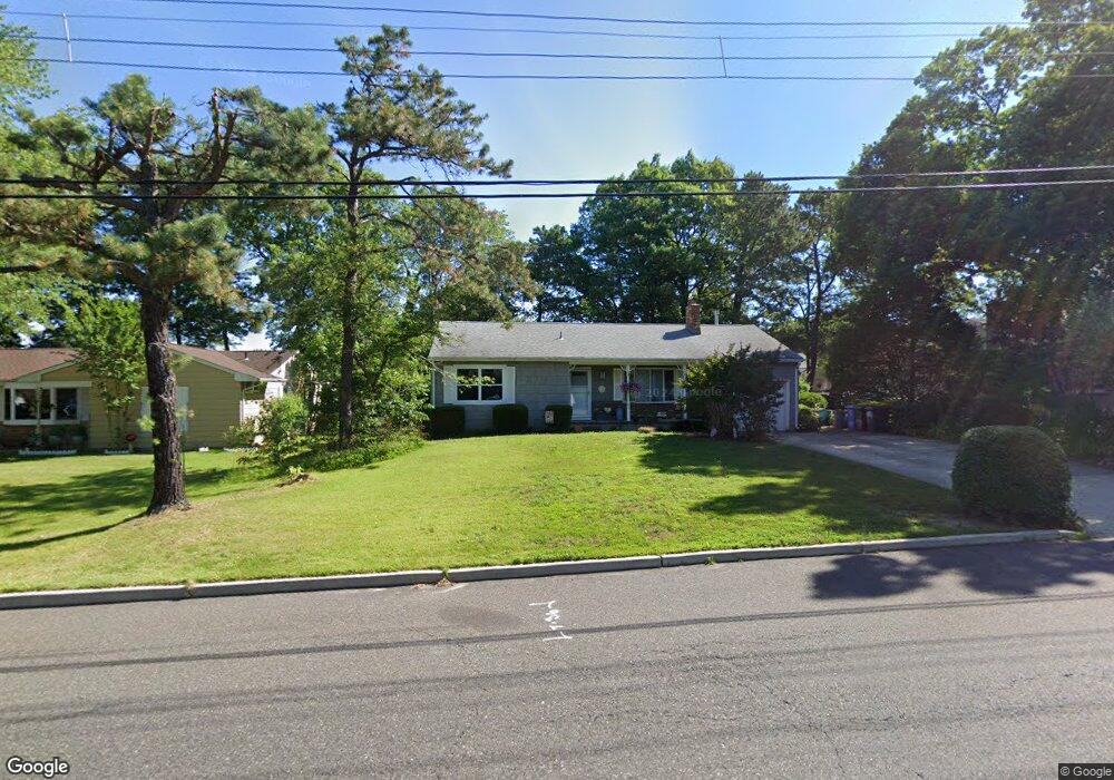
1070 Barnacle Dr Manahawkin, NJ 08050
Stafford NeighborhoodEstimated Value: $315,518 - $423,000
2
Beds
2
Baths
1,032
Sq Ft
$361/Sq Ft
Est. Value
About This Home
This home is located at 1070 Barnacle Dr, Manahawkin, NJ 08050 and is currently estimated at $372,130, approximately $360 per square foot. 1070 Barnacle Dr is a home located in Ocean County with nearby schools including Ocean Acres Elementary School, Oxycocus Elementary School, and McKinley Avenue Elementary School.
Ownership History
Date
Name
Owned For
Owner Type
Purchase Details
Closed on
Apr 8, 2003
Current Estimated Value
Purchase Details
Closed on
Oct 12, 1995
Sold by
Zeedyk Everett
Bought by
Mandrona Dale and Mandrona Suzanne
Home Financials for this Owner
Home Financials are based on the most recent Mortgage that was taken out on this home.
Original Mortgage
$75,000
Interest Rate
7.71%
Mortgage Type
FHA
Create a Home Valuation Report for This Property
The Home Valuation Report is an in-depth analysis detailing your home's value as well as a comparison with similar homes in the area
Home Values in the Area
Average Home Value in this Area
Purchase History
| Date | Buyer | Sale Price | Title Company |
|---|---|---|---|
| -- | -- | -- | |
| Mandrona Dale | $75,000 | -- |
Source: Public Records
Mortgage History
| Date | Status | Borrower | Loan Amount |
|---|---|---|---|
| Previous Owner | Mandrona Dale | $75,000 |
Source: Public Records
Tax History Compared to Growth
Tax History
| Year | Tax Paid | Tax Assessment Tax Assessment Total Assessment is a certain percentage of the fair market value that is determined by local assessors to be the total taxable value of land and additions on the property. | Land | Improvement |
|---|---|---|---|---|
| 2025 | $3,878 | $156,200 | $58,500 | $97,700 |
| 2024 | $3,841 | $156,200 | $58,500 | $97,700 |
| 2023 | $3,677 | $156,200 | $58,500 | $97,700 |
| 2022 | $3,677 | $156,200 | $58,500 | $97,700 |
| 2021 | $3,627 | $156,200 | $58,500 | $97,700 |
| 2020 | $3,632 | $156,200 | $58,500 | $97,700 |
| 2019 | $3,580 | $156,200 | $58,500 | $97,700 |
| 2018 | $3,558 | $156,200 | $58,500 | $97,700 |
| 2017 | $3,711 | $157,700 | $61,600 | $96,100 |
| 2016 | $3,673 | $157,700 | $61,600 | $96,100 |
| 2015 | $3,544 | $157,700 | $61,600 | $96,100 |
| 2014 | $3,494 | $153,600 | $60,800 | $92,800 |
Source: Public Records
Map
Nearby Homes
- 117 Inlet Ave
- 135 Nautilus Dr
- 136 Tiller Ave
- 1173 Barnacle Dr
- 179 Anchor Ave
- 993 Sandy Cir
- 1195 Windlass Dr
- 937 Sandy Cir
- 1185 Steamer Ave
- 1174 Steamer Ave
- 231 Pulley Ave
- 1208 Windlass Dr
- 248 Matey Ave
- 247 Tackle Ave
- 1014 Clearwater Ave
- 1215 Canal Ave
- 1073 Cutlass Ave
- 296 Nautilus Dr
- 58 Flipper Ave
- 1174 Treasure Ave
- 1062 Barnacle Dr
- 1078 Barnacle Dr
- 91 Riptide Ave
- 95 Riptide Ave
- 87 Riptide Ave
- 1054 Barnacle Dr
- 105 Nautilus Dr
- 1075 Barnacle Dr
- 99 Riptide Ave
- 97 Shore Ave
- 1046 Barnacle Dr
- 1083 Barnacle Dr
- 92 Shore Ave
- 103 Riptide Ave
- 93 Shore Ave
- 110 Inlet Ave
- 1038 Barnacle Dr
- 1045 Barnacle Dr
- 88 Riptide Ave
- 119 Nautilus Dr