Estimated Value: $224,661 - $257,000
3
Beds
2
Baths
2,128
Sq Ft
$114/Sq Ft
Est. Value
About This Home
This home is located at 1070 Boles Farm Rd, King, NC 27021 and is currently estimated at $243,415, approximately $114 per square foot. 1070 Boles Farm Rd is a home located in Stokes County with nearby schools including Mount Olive Elementary School, Chestnut Grove Middle, and West Stokes High.
Ownership History
Date
Name
Owned For
Owner Type
Purchase Details
Closed on
May 31, 2018
Sold by
Jones Jason B and Jones Laurel Ineman
Bought by
Jones Kevin G and Jones Susan H
Current Estimated Value
Home Financials for this Owner
Home Financials are based on the most recent Mortgage that was taken out on this home.
Original Mortgage
$114,000
Outstanding Balance
$98,368
Interest Rate
4.4%
Mortgage Type
New Conventional
Estimated Equity
$145,047
Create a Home Valuation Report for This Property
The Home Valuation Report is an in-depth analysis detailing your home's value as well as a comparison with similar homes in the area
Home Values in the Area
Average Home Value in this Area
Purchase History
| Date | Buyer | Sale Price | Title Company |
|---|---|---|---|
| Jones Kevin G | $120,000 | None Available |
Source: Public Records
Mortgage History
| Date | Status | Borrower | Loan Amount |
|---|---|---|---|
| Open | Jones Kevin G | $114,000 |
Source: Public Records
Tax History Compared to Growth
Tax History
| Year | Tax Paid | Tax Assessment Tax Assessment Total Assessment is a certain percentage of the fair market value that is determined by local assessors to be the total taxable value of land and additions on the property. | Land | Improvement |
|---|---|---|---|---|
| 2025 | $2,058 | $287,800 | $30,800 | $257,000 |
| 2024 | $2,058 | $208,800 | $22,000 | $186,800 |
| 2023 | $1,691 | $208,800 | $22,000 | $186,800 |
| 2022 | $1,545 | $208,800 | $22,000 | $186,800 |
| 2021 | $1,545 | $208,800 | $22,000 | $186,800 |
| 2020 | $1,259 | $170,100 | $22,000 | $148,100 |
| 2019 | $1,099 | $170,100 | $22,000 | $148,100 |
| 2018 | $1,099 | $148,500 | $22,000 | $126,500 |
| 2017 | $1,091 | $148,500 | $22,000 | $126,500 |
| 2016 | $1,061 | $144,400 | $22,000 | $122,400 |
| 2015 | $1,054 | $144,400 | $22,000 | $122,400 |
| 2014 | $924 | $144,400 | $22,000 | $122,400 |
Source: Public Records
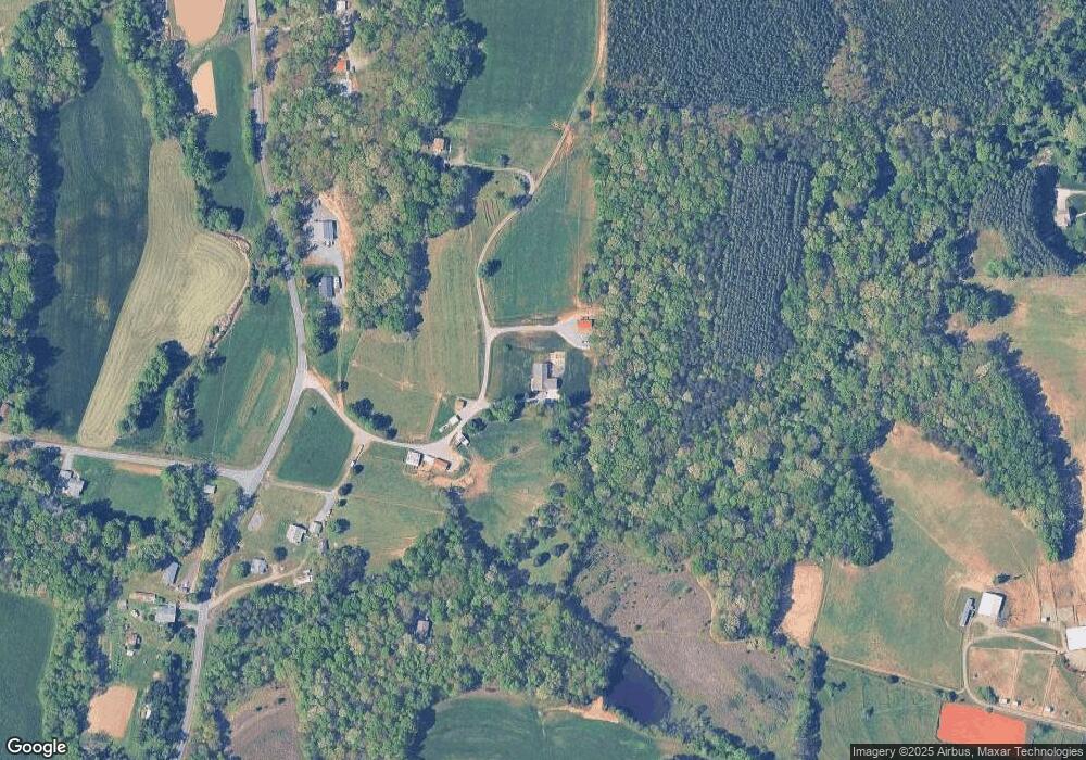
Map
Nearby Homes
- 1065 Reid Rd
- 0 Reid Rd
- 3125 YMcA Camp Rd
- 0 Nance Rd
- 1208 Kentland Dr
- +/- 17.06 Johnson Rd
- .64 Ac Kentland Dr Unit .64 Ac
- 5.25 Ac Capella Ridge Rd Unit 5.25 Ac
- 7.99 Mickey Rd
- 108 Nova Ln
- 1739 Denny Rd
- 100 Ridgecrest Dr
- 1105 Flippin Ln
- 0 Marshall Ridge Rd
- 1751 Flat Rock Rd
- 1085 Mystic Ln
- 00 Thore Rd
- 6064 S Nc Highway 66
- 1255 Mountain View Rd
- Lot 9 Brown Rd
- 3990 Nc 66 Hwy S
- 3966 Nc 66 Hwy S
- 4069 Nc 66 Hwy S
- 4061 Nc 66 Hwy S
- 4043 Nc 66 Hwy S
- 4030 Nc 66 Hwy S
- 3905 Nc 66 Hwy S
- 4064 Nc 66 Hwy S
- 1053 Faulkenberry Rd
- 1061 Capella School Rd
- 1015 Breezy Hill Rd
- 1072 Faulkenberry Rd
- 1191 Capella School Rd
- 0 Hill Rd
- 00 Hill Rd
- 1080 Breezy Hill Rd
- 1077 Faulkenberry Rd
- 1221 Capella School Rd
- 1093 Faulkenberry Rd
- 1100 Faulkenberry Rd