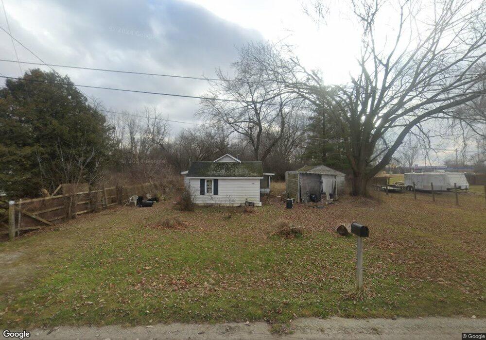
1070 Doerr St Saginaw, MI 48601
Estimated Value: $50,000 - $84,000
2
Beds
1
Bath
910
Sq Ft
$73/Sq Ft
Est. Value
About This Home
This home is located at 1070 Doerr St, Saginaw, MI 48601 and is currently estimated at $66,830, approximately $73 per square foot. 1070 Doerr St is a home located in Saginaw County with nearby schools including Thomas White School, Martin G. Atkins Elementary School, and Bridgeport High School.
Ownership History
Date
Name
Owned For
Owner Type
Purchase Details
Closed on
Jan 25, 2013
Sold by
Landeryou Milo L and Landeryou Jeanette I
Bought by
Galiardi Donna
Current Estimated Value
Purchase Details
Closed on
Feb 16, 2005
Purchase Details
Closed on
Feb 25, 2000
Sold by
Francis Bruce W and Francis Phyllis E
Bought by
Francis Gary B
Home Financials for this Owner
Home Financials are based on the most recent Mortgage that was taken out on this home.
Original Mortgage
$21,300
Interest Rate
6%
Mortgage Type
Seller Take Back
Create a Home Valuation Report for This Property
The Home Valuation Report is an in-depth analysis detailing your home's value as well as a comparison with similar homes in the area
Home Values in the Area
Average Home Value in this Area
Purchase History
| Date | Buyer | Sale Price | Title Company |
|---|---|---|---|
| Galiardi Donna | $34,900 | -- | |
| -- | $20,500 | -- | |
| Landeryou Milo Leroy | $20,500 | -- | |
| Francis Gary B | $21,300 | -- | |
| Francis Bruce W | $21,000 | -- |
Source: Public Records
Mortgage History
| Date | Status | Borrower | Loan Amount |
|---|---|---|---|
| Previous Owner | Francis Bruce W | $21,300 |
Source: Public Records
Tax History Compared to Growth
Tax History
| Year | Tax Paid | Tax Assessment Tax Assessment Total Assessment is a certain percentage of the fair market value that is determined by local assessors to be the total taxable value of land and additions on the property. | Land | Improvement |
|---|---|---|---|---|
| 2025 | $1,450 | $26,000 | $0 | $0 |
| 2024 | $201 | $22,900 | $0 | $0 |
| 2023 | $191 | $19,500 | $0 | $0 |
| 2022 | $2,259 | $17,000 | $0 | $0 |
| 2021 | $770 | $16,300 | $0 | $0 |
| 2020 | $746 | $16,300 | $0 | $0 |
| 2019 | $710 | $16,200 | $1,800 | $14,400 |
| 2018 | $167 | $15,200 | $0 | $0 |
| 2017 | $931 | $15,200 | $0 | $0 |
| 2016 | $973 | $15,400 | $0 | $0 |
| 2014 | -- | $15,100 | $0 | $13,200 |
| 2013 | -- | $15,300 | $0 | $0 |
Source: Public Records
Map
Nearby Homes
- 2105 Williamson Rd
- 2626 Hampshire St
- 3131 Parkwood Ave
- 3143 Walters Dr
- 3012 Walters Dr
- 2928 Walters Dr
- 2723 Owen St
- 2420 Lynnwood Ave
- 2416 Lynnwood Ave
- 2411 Beechwood Ave
- 2610 S Jefferson Ave
- 3105 Beulah St
- 3315 S Washington Ave
- 2401 Lowell Ave
- 2420 S Jefferson Ave
- 4365 Jo Dr
- 2126 Maplewood Ave
- 0 Randolph St
- 3706 Olive St
- 2206 Robinwood Ave
- 1090 Doerr St
- 3440 Sheridan Ave
- 3418 Sheridan Ave
- 1100 Treanor St
- 1120 Doerr St
- 1121 Doerr St
- 1128 Treanor St
- 1144 Doerr St
- 2155 Williamson Rd
- 1143 Doerr St
- 1150 Treanor St
- 3465 Sheridan Ave
- 2165 Williamson Rd
- 2414 Hampshire St
- 2318 Hampshire St
- 2171 Williamson Rd
- 2402 Hampshire St
- 2408 Hampshire St
- 2420 Hampshire St
- 2500 Hampshire St