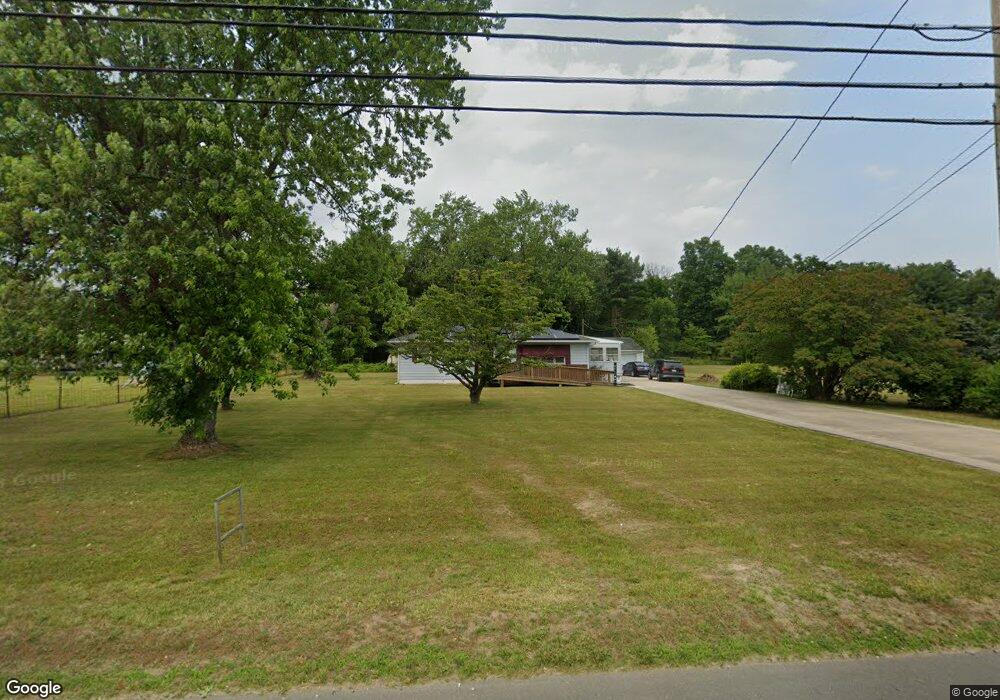
1070 Harding Hwy Newfield, NJ 08344
Franklin Township NeighborhoodEstimated Value: $232,312 - $361,000
--
Bed
--
Bath
1,184
Sq Ft
$248/Sq Ft
Est. Value
About This Home
This home is located at 1070 Harding Hwy, Newfield, NJ 08344 and is currently estimated at $293,328, approximately $247 per square foot. 1070 Harding Hwy is a home located in Gloucester County with nearby schools including Delsea Regional Middle School, Delsea Regional High School, and Edgarton Christian Academy.
Ownership History
Date
Name
Owned For
Owner Type
Purchase Details
Closed on
Jun 5, 2024
Sold by
Koshinski Della M and Rosario Mary
Bought by
Scales Mark and Scales Bobbie
Current Estimated Value
Home Financials for this Owner
Home Financials are based on the most recent Mortgage that was taken out on this home.
Original Mortgage
$223,100
Outstanding Balance
$220,253
Interest Rate
7.02%
Mortgage Type
New Conventional
Estimated Equity
$73,075
Purchase Details
Closed on
Aug 12, 2008
Sold by
Koshinski Della M and Estate Of Gilbert Koshinski
Bought by
Koshinski Della M
Create a Home Valuation Report for This Property
The Home Valuation Report is an in-depth analysis detailing your home's value as well as a comparison with similar homes in the area
Home Values in the Area
Average Home Value in this Area
Purchase History
| Date | Buyer | Sale Price | Title Company |
|---|---|---|---|
| Scales Mark | $230,000 | Fidelity National Title | |
| Scales Mark | $230,000 | Fidelity National Title | |
| Koshinski Della M | -- | None Available |
Source: Public Records
Mortgage History
| Date | Status | Borrower | Loan Amount |
|---|---|---|---|
| Open | Scales Mark | $223,100 | |
| Closed | Scales Mark | $223,100 |
Source: Public Records
Tax History Compared to Growth
Tax History
| Year | Tax Paid | Tax Assessment Tax Assessment Total Assessment is a certain percentage of the fair market value that is determined by local assessors to be the total taxable value of land and additions on the property. | Land | Improvement |
|---|---|---|---|---|
| 2025 | $5,498 | $142,400 | $18,600 | $123,800 |
| 2024 | $5,368 | $142,400 | $18,600 | $123,800 |
| 2023 | $5,368 | $142,400 | $18,600 | $123,800 |
| 2022 | $5,228 | $142,400 | $18,600 | $123,800 |
| 2021 | $4,292 | $142,400 | $18,600 | $123,800 |
| 2020 | $5,099 | $142,400 | $18,600 | $123,800 |
| 2019 | $5,028 | $142,400 | $18,600 | $123,800 |
| 2018 | $4,964 | $142,400 | $18,600 | $123,800 |
| 2017 | $4,864 | $142,400 | $18,600 | $123,800 |
| 2016 | $4,339 | $142,400 | $18,600 | $123,800 |
| 2015 | $4,149 | $142,400 | $18,600 | $123,800 |
| 2014 | $3,976 | $142,400 | $18,600 | $123,800 |
Source: Public Records
Map
Nearby Homes
- 1445 Catawba Ave
- 752 Harding Hwy
- 1355 Harding Hwy
- 1686 Catawba Ave
- 3 Hunter Dr
- 108 Nottingham Ln
- 329 Stotesbury Ave
- 320 Stotesbury Ave
- 1681 Harding Hwy
- 106 Nottingham Ln
- Block 173 Lot 40 03
- 108 U S 40
- 3485 Harding Hwy
- 1681-95 Harding Hwy
- 478 480 U S 40
- 311 Catawba Ave
- 322 Madison Ave
- 0 Madison Ave & Fawn Dr Unit NJGL2026814
- 0 Madison Ave & Fawn Dr Unit NJGL2026098
- 0 Rt 40 & Rosemont
- 1056 Harding Hwy
- 1149 Harding Hwy
- 1025 Harding Hwy
- 1034 Harding Hwy
- 1091 Harding Hwy
- 1126 Harding Hwy
- 1008 Harding Hwy
- 1063 Harding Hwy
- 994 Harding Hwy
- 1151 Harding Hwy
- 1213 Harding Hwy
- 1166 Harding Hwy
- 952 Harding Hwy
- 1200 Harding Hwy
- 936 Harding Hwy
- 1485 Catawba Ave
- 1347 Catawba Ave
- 1421 Catawba Ave
- 875 Harding Hwy
- 1351 Catawba Ave