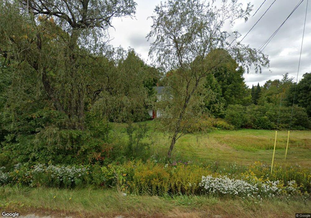
1070 Lewiston Rd New Gloucester, ME 04260
Estimated Value: $369,448 - $470,000
3
Beds
2
Baths
1,248
Sq Ft
$345/Sq Ft
Est. Value
About This Home
This home is located at 1070 Lewiston Rd, New Gloucester, ME 04260 and is currently estimated at $430,362, approximately $344 per square foot. 1070 Lewiston Rd is a home located in Cumberland County with nearby schools including Gray-New Gloucester High School and Spurwink School - Auburn.
Ownership History
Date
Name
Owned For
Owner Type
Purchase Details
Closed on
Oct 30, 2020
Sold by
White Annette P
Bought by
Woerner Kristen A and Woerner William R
Current Estimated Value
Home Financials for this Owner
Home Financials are based on the most recent Mortgage that was taken out on this home.
Original Mortgage
$142,865
Outstanding Balance
$126,548
Interest Rate
2.8%
Mortgage Type
New Conventional
Estimated Equity
$303,814
Purchase Details
Closed on
Jan 10, 2007
Sold by
Bragdon Fred W and Bragdon Donna A
Bought by
White Kenneth A and White Annette P
Create a Home Valuation Report for This Property
The Home Valuation Report is an in-depth analysis detailing your home's value as well as a comparison with similar homes in the area
Home Values in the Area
Average Home Value in this Area
Purchase History
| Date | Buyer | Sale Price | Title Company |
|---|---|---|---|
| Woerner Kristen A | -- | None Available | |
| White Kenneth A | -- | -- |
Source: Public Records
Mortgage History
| Date | Status | Borrower | Loan Amount |
|---|---|---|---|
| Open | Woerner Kristen A | $142,865 | |
| Previous Owner | White Kenneth A | $75,000 |
Source: Public Records
Tax History Compared to Growth
Tax History
| Year | Tax Paid | Tax Assessment Tax Assessment Total Assessment is a certain percentage of the fair market value that is determined by local assessors to be the total taxable value of land and additions on the property. | Land | Improvement |
|---|---|---|---|---|
| 2025 | $3,527 | $227,993 | $71,352 | $156,641 |
| 2024 | $3,395 | $227,993 | $71,352 | $156,641 |
| 2023 | $3,258 | $227,993 | $71,352 | $156,641 |
| 2022 | $3,146 | $227,993 | $71,352 | $156,641 |
| 2021 | $3,146 | $227,993 | $71,352 | $156,641 |
| 2020 | $3,112 | $227,993 | $71,352 | $156,641 |
| 2019 | $2,939 | $173,900 | $52,700 | $121,200 |
| 2018 | $2,337 | $173,900 | $52,700 | $121,200 |
| 2017 | $2,713 | $173,900 | $52,700 | $121,200 |
| 2016 | $2,556 | $173,900 | $52,700 | $121,200 |
| 2015 | $2,548 | $173,900 | $52,700 | $121,200 |
| 2014 | $2,522 | $173,900 | $52,700 | $121,200 |
| 2013 | $2,339 | $173,900 | $52,700 | $121,200 |
Source: Public Records
Map
Nearby Homes
- 12 Country Charm Ln
- 10-56 C&E Bowdoin Way
- 164 Intervale Rd
- 10 Cobbs Bridge Rd
- 10 Spring Valley Ln
- 161 Beaver Dam Dr
- 24 Swamp Rd
- 160 Gloucester Hill Rd
- 22 Shaw Rd
- 271 Bennett Rd
- 200 Woodman Rd
- 155 & 151 Gloucester Hill Rd
- 0018-C Gloucester Hill Rd
- 832 Old Danville Rd
- 14 Golden Way
- 114 Garden Cir
- 16 Harvest Hill Ln Unit 2
- 22 Lantern Way Unit 23
- 14 Harvest Hill Ln Unit 1
- TBD Targett Rd
- 18 Donnas Ln
- 11 Donnas Ln
- 1062 Lewiston Rd
- 1084 Lewiston Rd
- 30 Peacock Hill Rd
- 1056 Lewiston Rd
- 1055 Lewiston Rd
- 52 Peacock Hill
- 25 Peacock Hill Rd
- 1094 Lewiston Rd
- 37 Peacock Hill Rd
- 52 Peacock Hill Rd
- 1095 Lewiston Rd
- Lot 1 Country Charm Ln
- 0 Peacock Hill
- 00 Peacock Hill Rd
- 49 Bald Hill Rd
- 1 Peacock Hill Rd
- 1100 Lewiston Rd
- 1101 Lewiston Rd