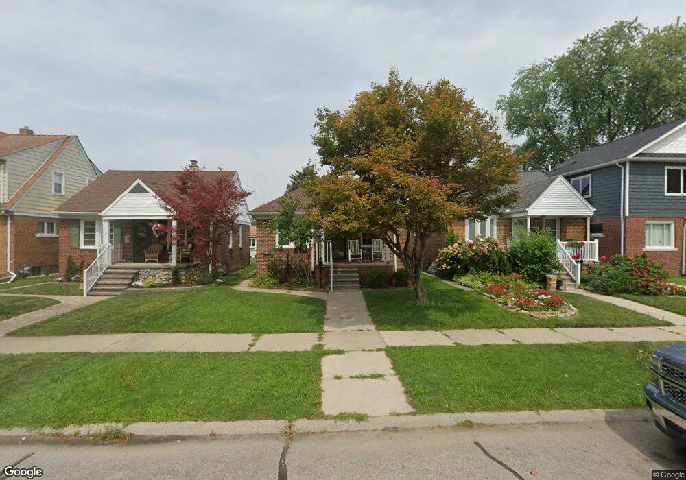
1070 Mollno St Wyandotte, MI 48192
Estimated Value: $128,000 - $163,000
2
Beds
1
Bath
624
Sq Ft
$226/Sq Ft
Est. Value
About This Home
This home is located at 1070 Mollno St, Wyandotte, MI 48192 and is currently estimated at $140,752, approximately $225 per square foot. 1070 Mollno St is a home located in Wayne County with nearby schools including Washington Elementary School, Woodrow Wilson School, and Roosevelt High School.
Ownership History
Date
Name
Owned For
Owner Type
Purchase Details
Closed on
Jan 10, 2011
Sold by
Larkin Cleo and Larkin Kathy
Bought by
Larkin Joseph R
Current Estimated Value
Purchase Details
Closed on
May 8, 2008
Sold by
Cawley Elwood C and Cawley Jason Eric
Bought by
Deutsche Bank National Trust Co and New Century Home Equity Loan Trust 2005-
Purchase Details
Closed on
May 9, 2003
Sold by
Cawley Elwood C and Cawley Marilyn K
Bought by
Cawley Elwood C
Create a Home Valuation Report for This Property
The Home Valuation Report is an in-depth analysis detailing your home's value as well as a comparison with similar homes in the area
Home Values in the Area
Average Home Value in this Area
Purchase History
| Date | Buyer | Sale Price | Title Company |
|---|---|---|---|
| Larkin Joseph R | -- | None Available | |
| Deutsche Bank National Trust Co | $84,655 | None Available | |
| Cawley Elwood C | -- | Minnesota Title Agency |
Source: Public Records
Tax History Compared to Growth
Tax History
| Year | Tax Paid | Tax Assessment Tax Assessment Total Assessment is a certain percentage of the fair market value that is determined by local assessors to be the total taxable value of land and additions on the property. | Land | Improvement |
|---|---|---|---|---|
| 2025 | $1,445 | $59,500 | $0 | $0 |
| 2024 | $1,445 | $57,600 | $0 | $0 |
| 2023 | $1,378 | $53,400 | $0 | $0 |
| 2022 | $1,866 | $48,400 | $0 | $0 |
| 2021 | $2,086 | $44,700 | $0 | $0 |
| 2020 | $2,057 | $39,700 | $0 | $0 |
| 2019 | $2,026 | $34,800 | $0 | $0 |
| 2018 | $1,461 | $32,300 | $0 | $0 |
| 2017 | $1,014 | $32,300 | $0 | $0 |
| 2016 | $1,947 | $29,900 | $0 | $0 |
| 2015 | $2,622 | $27,800 | $0 | $0 |
| 2013 | $2,540 | $25,400 | $0 | $0 |
| 2012 | $1,443 | $26,600 | $6,000 | $20,600 |
Source: Public Records
Map
Nearby Homes
- 1076 Mollno St
- 1064 Mollno St
- 1058 Mollno St
- 1082 Mollno St
- 1088 Mollno St
- 1052 Mollno St
- 1100 Mollno St
- 1069 Mulberry St
- 1085 Mulberry St
- 1040 Mollno St
- 1063 Mulberry St
- 1093 Mulberry St
- 1071 Mollno St
- 1077 Mulberry St
- 1065 Mollno St
- 1108 Mollno St
- 1034 Mollno St Unit Bldg-Unit
- 1034 Mollno St
- 1083 Mollno St
- 1059 Mollno St