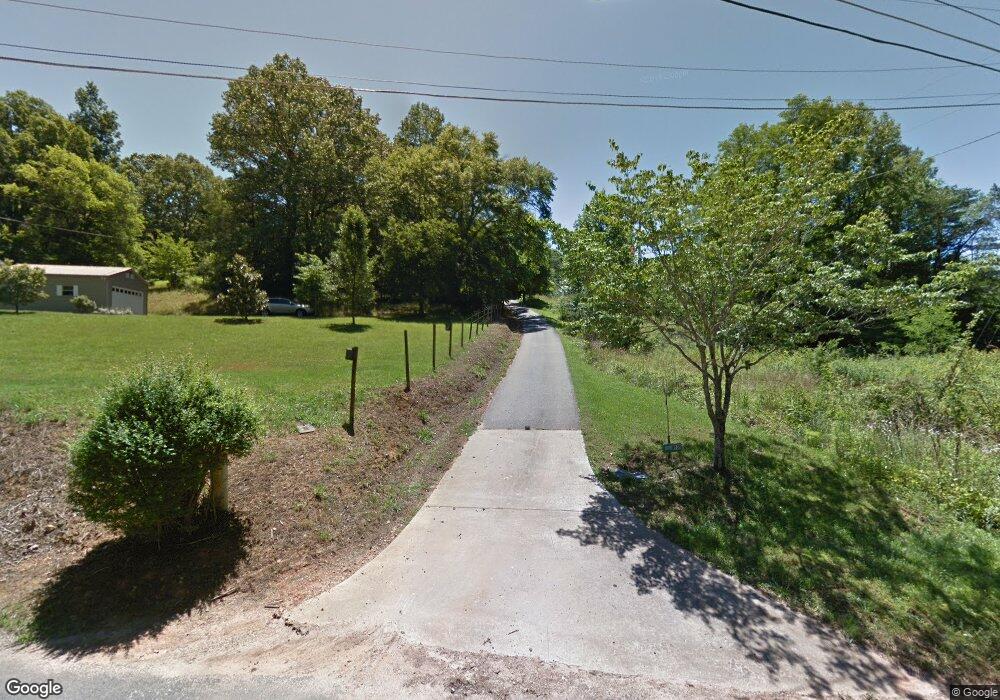
1070 My Dr Unit Tract 3 Hiawassee, GA 30546
Estimated Value: $255,000 - $502,000
--
Bed
--
Bath
1,762
Sq Ft
$200/Sq Ft
Est. Value
About This Home
This home is located at 1070 My Dr Unit Tract 3, Hiawassee, GA 30546 and is currently estimated at $352,908, approximately $200 per square foot. 1070 My Dr Unit Tract 3 is a home located in Towns County with nearby schools including Towns County Elementary School, Towns County Middle School, and Towns County High School.
Ownership History
Date
Name
Owned For
Owner Type
Purchase Details
Closed on
Aug 10, 2023
Sold by
Farner Scott J
Bought by
Omara Vincent and Omara Mary
Current Estimated Value
Purchase Details
Closed on
Jun 15, 2022
Sold by
Farner Scott J
Bought by
Cole Jeffrey Dane and Cole Susan Cherise
Purchase Details
Closed on
Jan 28, 2008
Sold by
Carol Jean Teaver
Bought by
Farner Scott J
Create a Home Valuation Report for This Property
The Home Valuation Report is an in-depth analysis detailing your home's value as well as a comparison with similar homes in the area
Home Values in the Area
Average Home Value in this Area
Purchase History
| Date | Buyer | Sale Price | Title Company |
|---|---|---|---|
| Omara Vincent | $185,000 | -- | |
| Cole Jeffrey Dane | $45,000 | -- | |
| Farner Scott J | -- | -- |
Source: Public Records
Tax History Compared to Growth
Tax History
| Year | Tax Paid | Tax Assessment Tax Assessment Total Assessment is a certain percentage of the fair market value that is determined by local assessors to be the total taxable value of land and additions on the property. | Land | Improvement |
|---|---|---|---|---|
| 2024 | $1,139 | $122,241 | $5,834 | $116,407 |
| 2023 | $1,009 | $93,937 | $5,834 | $88,103 |
| 2022 | $1,070 | $118,365 | $29,325 | $89,040 |
| 2021 | $1,090 | $101,697 | $23,748 | $77,949 |
| 2020 | $1,104 | $96,148 | $23,748 | $72,400 |
| 2019 | $1,101 | $94,549 | $23,748 | $70,801 |
| 2018 | $1,090 | $91,616 | $23,748 | $67,868 |
| 2017 | $1,085 | $88,481 | $23,548 | $64,933 |
| 2016 | $1,114 | $98,573 | $33,640 | $64,933 |
Source: Public Records
Map
Nearby Homes
- 905 Johnson Rd
- 4.78 AC Hawkview
- LOT 12 Rainbow Ridge Rd
- 1458 Montana Ln
- #20 Victoria Woods Cir
- Lot 10 Bend of the River Rd
- 1870 Hwy 75n
- #10 Spaniard Point Rd
- 2520 Road 4748
- LT 115 Ridge Wood Trail
- 15 A&a Dr
- 2385 Road 4748
- #4 Stonecrest Cir
- 1912 Bearmeat Village Rd
- 2265 Eastgate Dr
- 2267 Eastgate Dr
- LOT 15 Bear Trail Roaring Ridge Trail
- 11 the Ridges Bill Bro
- Lot 9 Wolfpen Gap
- 10 the Ridges Bill Bro
- 1070 My Dr
- TRACT 2 My Dr
- TR. 2 My Dr
- TR 2 My Dr
- 1214 Bugscuffle Rd
- 1032 My Dr
- 1034 Bugscuffle Rd
- 1051 Bugscuffle Rd
- 1117 Bugscuffle Rd
- 973 Bugscuffle Rd
- 2026 Bugscuffle Spur
- .89AC Johnson Rd Unit 14,15,16
- 1.75 Acres On Bugscuffle Spur
- Lots Johnson Rd
- 0.89 AC Johnson Rd
- 0 Johnson Rd Unit .32 ACRES 9051793
- 1241 Bugscuffle Rd
- 1222 Bugscuffle Rd
- 967 Bugscuffle Rd
- 860 Bugscuffle Rd