1070 Reef Rd Fairfield, CT 06824
Fairfield Beach NeighborhoodEstimated Value: $1,207,000 - $2,981,000
4
Beds
2
Baths
1,660
Sq Ft
$1,049/Sq Ft
Est. Value
About This Home
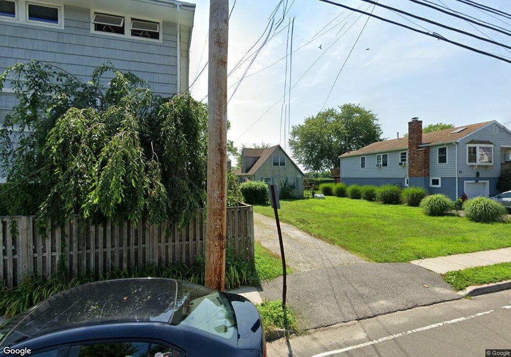
This home is located at 1070 Reef Rd, Fairfield, CT 06824 and is currently estimated at $1,741,030, approximately $1,048 per square foot. 1070 Reef Rd is a home located in Fairfield County with nearby schools including Roger Sherman Elementary School, Roger Ludlowe Middle School, and Fairfield Ludlowe High School.
Ownership History
Date
Name
Owned For
Owner Type
Purchase Details
Closed on
Dec 23, 2013
Sold by
Hauser Robert
Bought by
Hauser Giselle
Current Estimated Value
Create a Home Valuation Report for This Property
The Home Valuation Report is an in-depth analysis detailing your home's value as well as a comparison with similar homes in the area
Home Values in the Area
Average Home Value in this Area
Purchase History
| Date | Buyer | Sale Price | Title Company |
|---|---|---|---|
| Hauser Giselle | -- | -- | |
| Hauser Giselle | -- | -- | |
| Hauser Giselle | -- | -- |
Source: Public Records
Mortgage History
| Date | Status | Borrower | Loan Amount |
|---|---|---|---|
| Previous Owner | Hauser Giselle | $395,000 | |
| Previous Owner | Hauser Giselle | $75,000 |
Source: Public Records
Tax History
| Year | Tax Paid | Tax Assessment Tax Assessment Total Assessment is a certain percentage of the fair market value that is determined by local assessors to be the total taxable value of land and additions on the property. | Land | Improvement |
|---|---|---|---|---|
| 2025 | $13,828 | $487,060 | $349,230 | $137,830 |
| 2024 | $13,589 | $487,060 | $349,230 | $137,830 |
| 2023 | $13,399 | $487,060 | $349,230 | $137,830 |
| 2022 | $13,268 | $487,060 | $349,230 | $137,830 |
| 2021 | $13,141 | $487,060 | $349,230 | $137,830 |
| 2020 | $10,819 | $403,830 | $242,410 | $161,420 |
| 2019 | $10,819 | $403,830 | $242,410 | $161,420 |
| 2018 | $10,645 | $403,830 | $242,410 | $161,420 |
| 2017 | $10,427 | $403,830 | $242,410 | $161,420 |
| 2016 | $10,277 | $403,830 | $242,410 | $161,420 |
| 2015 | $11,127 | $448,840 | $352,870 | $95,970 |
| 2014 | $10,952 | $448,840 | $352,870 | $95,970 |
Source: Public Records
Map
Nearby Homes
- 6 Lighthouse Point
- 1053 Fairfield Beach Rd
- 783 Reef Rd
- 1235 Fairfield Beach Rd
- 88 Veres St
- 126 Lalley Blvd
- 1417 Fairfield Beach Rd
- 394 Penfield Rd
- 378 Penfield Rd
- 187 Catherine Terrace
- 28 Michaela Cir
- 345 Reef Rd Unit B6
- 345 Reef Rd Unit C9
- 110 Pratt St
- 2 Mellow St
- 110 Alden St
- 127 Paul Place
- 464 Ruane St
- 598 S Benson Rd
- 345 Old Dam Rd
- 1070 Reef Rd Unit 2025-26
- 1070 Reef Rd Unit 2027-28
- 172 College Place
- 1078 Reef Rd
- 1086 Reef Rd
- 162 College Place Unit UPPER
- 162 College Place
- 1054 Reef Rd
- 1062 Reef Rd
- 1090 Reef Rd
- 1040 Reef Rd
- 156 College Place
- 159 College Place
- 1071 Reef Rd
- 1102 Reef Rd Unit UPPER
- 1102 Reef Rd
- 153 College Place
- 1097 Reef Rd
- 1059 Reef Rd
- 148 College Place
Your Personal Tour Guide
Ask me questions while you tour the home.