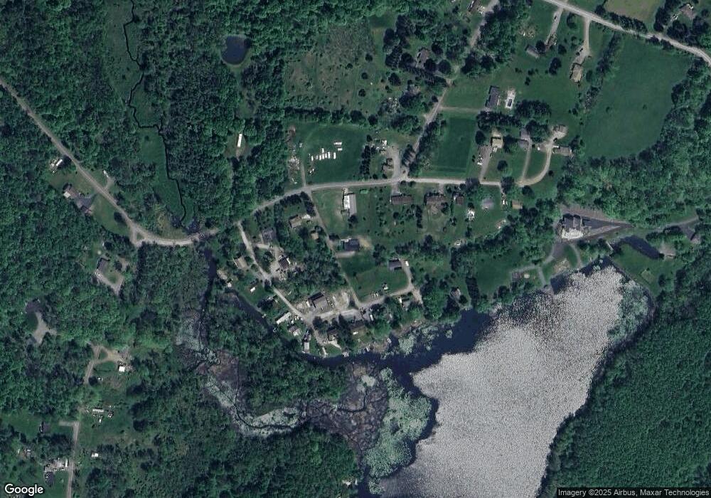
1070 Rosengrant Rd Lake Ariel, PA 18436
Estimated Value: $295,000 - $295,844
5
Beds
2
Baths
2,930
Sq Ft
$101/Sq Ft
Est. Value
About This Home
This home is located at 1070 Rosengrant Rd, Lake Ariel, PA 18436 and is currently estimated at $295,422, approximately $100 per square foot. 1070 Rosengrant Rd is a home with nearby schools including Western Wayne High School.
Ownership History
Date
Name
Owned For
Owner Type
Purchase Details
Closed on
Jul 13, 2021
Sold by
Rosengrant Ronald C and Rosengrant Penny E
Bought by
Rosengrant Ryan
Current Estimated Value
Home Financials for this Owner
Home Financials are based on the most recent Mortgage that was taken out on this home.
Original Mortgage
$160,000
Outstanding Balance
$145,396
Interest Rate
3%
Mortgage Type
New Conventional
Estimated Equity
$150,026
Purchase Details
Closed on
Sep 30, 2010
Sold by
Rosengrant Ronald C and Rosengrant Penny E
Bought by
Rosengrant Ronald C and Rosengrant Penny E
Create a Home Valuation Report for This Property
The Home Valuation Report is an in-depth analysis detailing your home's value as well as a comparison with similar homes in the area
Home Values in the Area
Average Home Value in this Area
Purchase History
| Date | Buyer | Sale Price | Title Company |
|---|---|---|---|
| Rosengrant Ryan | $213,000 | None Available | |
| Rosengrant Ronald C | -- | None Available |
Source: Public Records
Mortgage History
| Date | Status | Borrower | Loan Amount |
|---|---|---|---|
| Open | Rosengrant Ryan | $160,000 |
Source: Public Records
Tax History Compared to Growth
Tax History
| Year | Tax Paid | Tax Assessment Tax Assessment Total Assessment is a certain percentage of the fair market value that is determined by local assessors to be the total taxable value of land and additions on the property. | Land | Improvement |
|---|---|---|---|---|
| 2025 | $4,072 | $251,600 | $52,800 | $198,800 |
| 2024 | $3,871 | $251,600 | $52,800 | $198,800 |
| 2023 | $5,481 | $251,600 | $52,800 | $198,800 |
| 2022 | $3,513 | $149,100 | $28,200 | $120,900 |
| 2021 | $3,426 | $149,100 | $28,200 | $120,900 |
| 2020 | $3,165 | $139,300 | $28,200 | $111,100 |
| 2019 | $2,991 | $139,300 | $28,200 | $111,100 |
| 2018 | $2,973 | $139,300 | $28,200 | $111,100 |
| 2017 | $607 | $139,300 | $28,200 | $111,100 |
| 2016 | $2,879 | $139,300 | $28,200 | $111,100 |
| 2014 | -- | $139,300 | $28,200 | $111,100 |
Source: Public Records
Map
Nearby Homes
- 106 Windsor Dr
- 937 Cortez Rd
- 128 Rosebank Rd
- 111 E Island Ln
- 1874 Windemere Ln
- 74 Rockway Rd
- LOT 210 Polaris Way
- 2 Commanche Cir
- 51 Underwood Ln
- 68 Underwood Ln
- 501 Lake Spangenberg Rd
- 40 Lake Loretta Dr
- 0 Fernwood Rd Unit 24188036
- 0 Lake Spangenberg Rd Unit GSBSC255036
- 0 Keystone Rd
- 667 Cortez Rd
- 200 Lake Spangenberg Rd
- 131 Hidden Valley Dr
- 70 & 71 Apple St
- 0 Archbald Mt Rd Unit GSBSC5719
- 1058 Rosengrant Rd
- 1074 Rosengrant Rd
- 1073 Rosengrant Rd
- 133 N Shore Ln
- 130 N Shore Ln
- 130 N Shore Ln
- 124 N Shore Ln
- 110 Windsor Dr
- 108 N Shore Ln
- 120 N Shore Ln
- 118 N Shore Ln
- 30R/31R Windsor Dr
- 1091 Rosengrant Rd
- 112 N Shore Ln
- 1079 Rosengrant Rd
- 112 Windsor Dr
- 1095 Rosengrant Rd
- 113 Windsor Dr
- 1092 Rosengrant Rd
- 116 Windsor Dr
