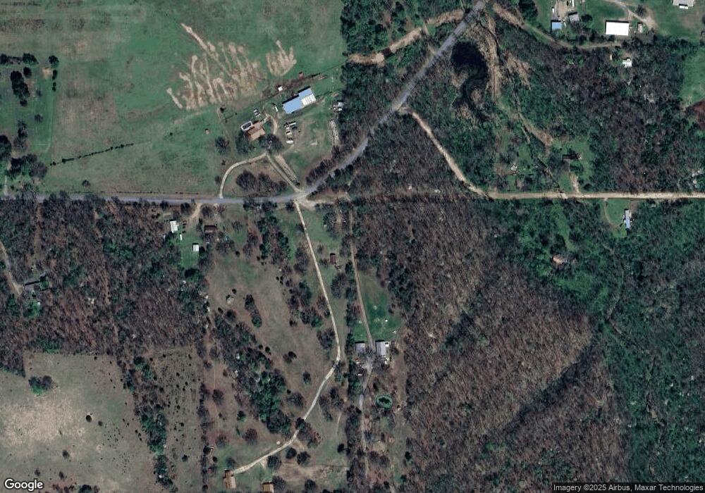
Estimated Value: $75,000 - $180,000
2
Beds
1
Bath
672
Sq Ft
$174/Sq Ft
Est. Value
About This Home
This home is located at 1070 S Highway 82a, Oaks, OK 74359 and is currently estimated at $116,828, approximately $173 per square foot. 1070 S Highway 82a is a home located in Cherokee County with nearby schools including Oaks-Mission Elementary School and Oaks-Mission High School.
Ownership History
Date
Name
Owned For
Owner Type
Purchase Details
Closed on
Dec 2, 2005
Sold by
Barnett Patsy Marie and Barnett Mack
Bought by
Stanley Brian L and Stanley Brenda M
Current Estimated Value
Home Financials for this Owner
Home Financials are based on the most recent Mortgage that was taken out on this home.
Original Mortgage
$40,500
Interest Rate
6.12%
Mortgage Type
Unknown
Create a Home Valuation Report for This Property
The Home Valuation Report is an in-depth analysis detailing your home's value as well as a comparison with similar homes in the area
Home Values in the Area
Average Home Value in this Area
Purchase History
| Date | Buyer | Sale Price | Title Company |
|---|---|---|---|
| Stanley Brian L | $34,378 | Cherokee Capitol Closing Ser |
Source: Public Records
Mortgage History
| Date | Status | Borrower | Loan Amount |
|---|---|---|---|
| Closed | Stanley Brian L | $40,500 |
Source: Public Records
Tax History Compared to Growth
Tax History
| Year | Tax Paid | Tax Assessment Tax Assessment Total Assessment is a certain percentage of the fair market value that is determined by local assessors to be the total taxable value of land and additions on the property. | Land | Improvement |
|---|---|---|---|---|
| 2025 | $374 | $5,451 | $2,079 | $3,372 |
| 2024 | $374 | $5,191 | $1,980 | $3,211 |
| 2023 | $374 | $4,945 | $1,980 | $2,965 |
| 2022 | $337 | $4,674 | $2,514 | $2,160 |
| 2021 | $337 | $4,674 | $2,514 | $2,160 |
| 2020 | $337 | $4,674 | $2,514 | $2,160 |
| 2019 | $337 | $4,674 | $2,514 | $2,160 |
| 2018 | $337 | $4,674 | $2,514 | $2,160 |
| 2017 | $321 | $4,459 | $2,820 | $1,639 |
| 2016 | $306 | $4,246 | $2,686 | $1,560 |
| 2015 | $272 | $4,043 | $2,251 | $1,792 |
| 2014 | $272 | $3,852 | $2,144 | $1,708 |
Source: Public Records
Map
Nearby Homes
- 177 S Military Rd
- 0 0 Unit 1084047
- 0000 S Hwy 82 A
- Hwy 82a Lot Unit WP001
- 10250 E 580 Rd
- Black Fox Hallow Rd
- 0 D4595 Rd
- 0 4595 Rd Unit 2507714
- 56145 S 584 Rd
- 9336 S 412
- 9336 U S 412
- 4395 N Oaks Rd
- 57298 S 608 Rd
- 57741 County Road 612
- 55924 S 594 Rd
- 5690 E 570 Rd
- 55804 S 600 Rd
- 6850 E 553 Rd
- 6850 E County Road 553
- 14 Big Bear Rd
- 1074 S Highway 82a
- 1367 Highway 82a
- 1094 Highway 82a
- 1082 S Highway 82a
- 0 Highway 82a
- 0 Hwy 82 A
- 296 W County Line Rd
- 254 S 5th St
- 1094 S Highway 82a
- 808 Rocky Ford Rd
- 423 S Ok-33c Hwy
- 543 W Main St
- 412 A & Main Hwy
- 0 W Main St
- 468 N N4580 Rd
- 446 N N4580 Rd
- 424 N 4580 Rd
- 424 N 412a Hwy
- 124 E Cherokee Blvd
- 135 E Dogwood Dr
