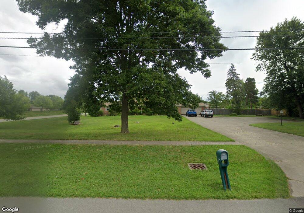
1070 Union Blvd Englewood, OH 45322
Estimated Value: $346,000 - $462,000
5
Beds
3
Baths
3,274
Sq Ft
$130/Sq Ft
Est. Value
About This Home
This home is located at 1070 Union Blvd, Englewood, OH 45322 and is currently estimated at $426,914, approximately $130 per square foot. 1070 Union Blvd is a home located in Montgomery County with nearby schools including Englewood Hills Elementary School, Northmont High School, and Trotwood Preparatory & Fitness Academy.
Ownership History
Date
Name
Owned For
Owner Type
Purchase Details
Closed on
Feb 22, 2007
Sold by
Va
Bought by
Mergler Lorraine B
Current Estimated Value
Home Financials for this Owner
Home Financials are based on the most recent Mortgage that was taken out on this home.
Original Mortgage
$25,000
Outstanding Balance
$20,173
Interest Rate
6.4%
Mortgage Type
Credit Line Revolving
Estimated Equity
$406,741
Purchase Details
Closed on
Sep 28, 2006
Sold by
Mcknight Matt M and Joyner Janice L
Bought by
Va
Purchase Details
Closed on
Jun 7, 2006
Sold by
Mcknight Matt M
Bought by
Mcknight Matt M and Joyner Janice L
Purchase Details
Closed on
Apr 7, 2006
Sold by
Temple Homes Llc
Bought by
Mcknight Matt M
Create a Home Valuation Report for This Property
The Home Valuation Report is an in-depth analysis detailing your home's value as well as a comparison with similar homes in the area
Home Values in the Area
Average Home Value in this Area
Purchase History
| Date | Buyer | Sale Price | Title Company |
|---|---|---|---|
| Mergler Lorraine B | -- | Titlequest Agency Inc | |
| Va | -- | None Available | |
| Mcknight Matt M | -- | None Available | |
| Mcknight Matt M | $223,900 | None Available |
Source: Public Records
Mortgage History
| Date | Status | Borrower | Loan Amount |
|---|---|---|---|
| Open | Mergler Lorraine B | $25,000 |
Source: Public Records
Tax History Compared to Growth
Tax History
| Year | Tax Paid | Tax Assessment Tax Assessment Total Assessment is a certain percentage of the fair market value that is determined by local assessors to be the total taxable value of land and additions on the property. | Land | Improvement |
|---|---|---|---|---|
| 2024 | $6,706 | $127,060 | $18,200 | $108,860 |
| 2023 | $6,706 | $127,060 | $18,200 | $108,860 |
| 2022 | $6,232 | $89,340 | $12,820 | $76,520 |
| 2021 | $6,103 | $89,340 | $12,820 | $76,520 |
| 2020 | $5,865 | $89,340 | $12,820 | $76,520 |
| 2019 | $5,011 | $70,470 | $14,740 | $55,730 |
| 2018 | $4,920 | $70,470 | $14,740 | $55,730 |
| 2017 | $4,886 | $70,470 | $14,740 | $55,730 |
| 2016 | $4,699 | $67,070 | $12,820 | $54,250 |
| 2015 | $4,293 | $67,070 | $12,820 | $54,250 |
| 2014 | $4,293 | $67,070 | $12,820 | $54,250 |
| 2012 | -- | $73,330 | $13,030 | $60,300 |
Source: Public Records
Map
Nearby Homes
- 206 Gardengrove Way
- 881 Sunset Dr
- 830 W Wenger Rd
- 250 Winter Creek Ct
- 900 Moonlight Dr
- 505 Durst Dr
- 4245 W Wenger Rd
- 1024 Meadow Thrush Dr
- 1003 Sunset Dr
- 4329 Gorman Ave
- 7039 Park Vista Rd
- 229 Brookwood Dr
- 108 Denwood Trail
- 510 Lambert Ln
- 534 Unger Ave
- 525 Unger Ave
- 1010 Heathwood Dr
- 1017 Terracewood Dr
- 510 Rohr Ln
- 306 Pauly Dr
- 429 Porter Dr
- 7670 N Union Rd
- 1076 Union Blvd
- 1076 Union Rd
- 427 Porter Dr
- 425 Porter Dr
- 339 Lauren Circle Dr
- 423 Porter Dr
- 337 Lauren Circle Dr
- 1065 Union Rd
- 1000 Union Rd
- 421 Porter Dr
- 335 Lauren Circle Dr
- 335 Lauren Cir
- 1075 Union Rd
- 333 Lauren Circle Dr
- 333 Lauren Cir
- 1049 Union Rd
- 419 Porter Dr
- 1085 Union Rd
