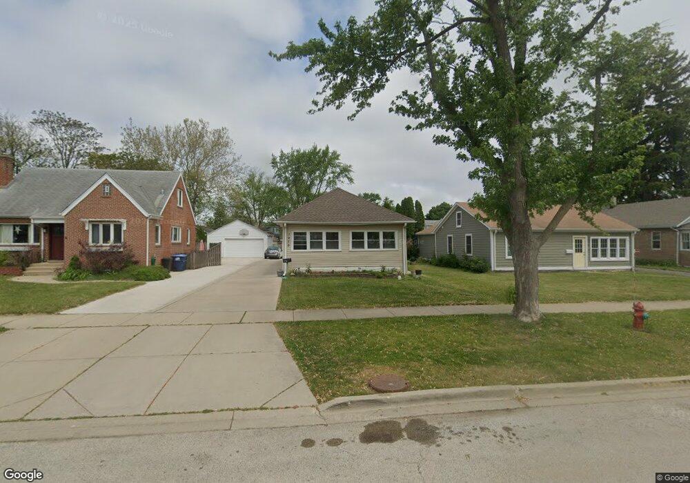
1070 Walter Ave Des Plaines, IL 60016
Estimated Value: $286,000 - $337,860
2
Beds
1
Bath
864
Sq Ft
$354/Sq Ft
Est. Value
About This Home
This home is located at 1070 Walter Ave, Des Plaines, IL 60016 and is currently estimated at $305,715, approximately $353 per square foot. 1070 Walter Ave is a home located in Cook County with nearby schools including Forest Elementary School, Algonquin Middle School, and Maine West High School.
Ownership History
Date
Name
Owned For
Owner Type
Purchase Details
Closed on
Nov 22, 2000
Sold by
Drakos Alice U
Bought by
Contreras Manuel and Contreras Margarita
Current Estimated Value
Home Financials for this Owner
Home Financials are based on the most recent Mortgage that was taken out on this home.
Original Mortgage
$161,500
Outstanding Balance
$56,406
Interest Rate
7.7%
Estimated Equity
$249,309
Create a Home Valuation Report for This Property
The Home Valuation Report is an in-depth analysis detailing your home's value as well as a comparison with similar homes in the area
Home Values in the Area
Average Home Value in this Area
Purchase History
| Date | Buyer | Sale Price | Title Company |
|---|---|---|---|
| Contreras Manuel | $170,000 | -- |
Source: Public Records
Mortgage History
| Date | Status | Borrower | Loan Amount |
|---|---|---|---|
| Open | Contreras Manuel | $161,500 |
Source: Public Records
Tax History
| Year | Tax Paid | Tax Assessment Tax Assessment Total Assessment is a certain percentage of the fair market value that is determined by local assessors to be the total taxable value of land and additions on the property. | Land | Improvement |
|---|---|---|---|---|
| 2025 | $4,754 | $26,000 | $6,390 | $19,610 |
| 2024 | $4,754 | $24,000 | $5,325 | $18,675 |
| 2023 | $4,591 | $24,000 | $5,325 | $18,675 |
| 2022 | $4,591 | $24,000 | $5,325 | $18,675 |
| 2021 | $3,675 | $17,950 | $4,260 | $13,690 |
| 2020 | $4,487 | $17,950 | $4,260 | $13,690 |
| 2019 | $4,445 | $19,945 | $4,260 | $15,685 |
| 2018 | $4,498 | $18,475 | $3,727 | $14,748 |
| 2017 | $4,436 | $18,475 | $3,727 | $14,748 |
| 2016 | $4,440 | $18,475 | $3,727 | $14,748 |
| 2015 | $4,100 | $16,186 | $3,195 | $12,991 |
| 2014 | $4,030 | $16,186 | $3,195 | $12,991 |
| 2013 | $3,912 | $16,186 | $3,195 | $12,991 |
Source: Public Records
Map
Nearby Homes
- 1005 Woodlawn Ave
- 1107 E Prairie Ave
- 450 S Western Ave Unit 506
- 430 S Western Ave Unit 601
- 890 North Ave
- 390 S Western Ave Unit 706
- 886 E Thacker St
- 584 S 4th Ave
- 1258 Brown St Unit 302
- 1325 Perry St Unit 606
- 1330 Perry St Unit 504
- 1347 Perry St Unit 4
- 799 Graceland Ave Unit 504A
- 799 Graceland Ave Unit 404A
- 1374 Jefferson St
- 1389 Perry St Unit 303
- 1349 E Washington St Unit 404A
- 821 Lexington Cir E
- 395 Graceland Ave Unit 208
- 365 Graceland Ave Unit 205A
- 1078 Walter Ave
- 1062 Walter Ave
- 1054 Walter Ave
- 1086 Walter Ave
- 1069 Greenview Ave
- 1065 Greenview Ave
- 1094 Walter Ave
- 1046 Walter Ave
- 1077 Greenview Ave
- 1057 Greenview Ave
- 1087 Greenview Ave
- 1098 Walter Ave
- 1047 Greenview Ave
- 1071 Walter Ave
- 1097 Greenview Ave
- 1063 Walter Ave
- 1087 Walter Ave
- 1037 Greenview Ave
- 1030 Walter Ave
- 1106 Walter Ave