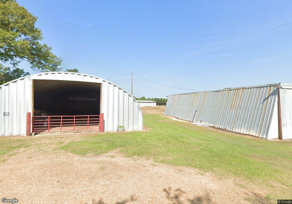
1070 Weeks Rd Wesson, MS 39191
Estimated Value: $164,000 - $200,000
Studio
2
Baths
2,184
Sq Ft
$85/Sq Ft
Est. Value
About This Home
This home is located at 1070 Weeks Rd, Wesson, MS 39191 and is currently estimated at $185,486, approximately $84 per square foot. 1070 Weeks Rd is a home located in Copiah County.
Ownership History
Date
Name
Owned For
Owner Type
Purchase Details
Closed on
Aug 23, 2022
Sold by
Slay Weeks Ann
Bought by
Giroir Paul Felix and Guerrero Felimon C
Current Estimated Value
Home Financials for this Owner
Home Financials are based on the most recent Mortgage that was taken out on this home.
Original Mortgage
$76,500
Outstanding Balance
$73,138
Interest Rate
5.51%
Mortgage Type
New Conventional
Estimated Equity
$112,348
Purchase Details
Closed on
Jul 8, 2011
Sold by
Weeks Timiothy D and Weeks Dan P
Bought by
Phillips Ronald W
Home Financials for this Owner
Home Financials are based on the most recent Mortgage that was taken out on this home.
Original Mortgage
$74,500
Interest Rate
4.52%
Mortgage Type
Unknown
Create a Home Valuation Report for This Property
The Home Valuation Report is an in-depth analysis detailing your home's value as well as a comparison with similar homes in the area
Purchase History
| Date | Buyer | Sale Price | Title Company |
|---|---|---|---|
| Giroir Paul Felix | -- | None Listed On Document | |
| Phillips Ronald W | -- | -- |
Source: Public Records
Mortgage History
| Date | Status | Borrower | Loan Amount |
|---|---|---|---|
| Open | Giroir Paul Felix | $76,500 | |
| Previous Owner | Phillips Ronald W | $74,500 |
Source: Public Records
Tax History
| Year | Tax Paid | Tax Assessment Tax Assessment Total Assessment is a certain percentage of the fair market value that is determined by local assessors to be the total taxable value of land and additions on the property. | Land | Improvement |
|---|---|---|---|---|
| 2025 | $144 | $9,847 | $0 | $0 |
| 2024 | $1 | $9,081 | $0 | $0 |
| 2023 | $144 | $9,065 | $0 | $0 |
| 2022 | $151 | $9,116 | $0 | $0 |
| 2021 | $145 | $9,102 | $0 | $0 |
| 2020 | $135 | $8,694 | $0 | $0 |
| 2019 | $301 | $10,131 | $0 | $0 |
| 2018 | $305 | $10,206 | $0 | $0 |
| 2017 | $148 | $10,137 | $0 | $0 |
| 2016 | $148 | $8,834 | $0 | $0 |
| 2015 | -- | $8,772 | $0 | $0 |
| 2014 | -- | $8,720 | $0 | $0 |
Source: Public Records
Map
Nearby Homes
- 0 David Britt St
- 1001 Lumley Ln
- 2038 Rocky Hill Rd
- 0 Sawders Ln
- 0 Loom St
- 1089 Wells St
- 0 Wells St
- 1079 Beech St
- 596 Mount Zion Rd
- 589 Mount Zion Rd
- 594 Mount Zion Rd
- 0 00 Milltowne Dr
- 0 Milltownte Dr
- 3085 Beauregard Rd
- 4001 Stegall Rd
- 4069 Dixie Rd
- 4069 Dixie Garden Rd
- 3066 New Sight Dr NE
- 0 Furrs Mill Dr NE
- 0 Anderson Rd
- 1016 Davis Farm Ln
- 1124 Lowery Rd
- 1106 Lowery Rd
- 2039 Lowery Rd
- 1125 Lowery Rd
- 1081 Lowery Rd
- 1094 Lowery Rd
- 4185 Highway 51
- 1110 Williams Rd
- 4155 Highway 51
- 2050 Lowery Rd
- 1057 Lowery Rd
- 1035 Lowery Rd
- 1015 Lowery Rd
- 1007 Dixie Garden Rd
- 1064 Lowery Rd
- 2041 Lowery Rd
- 4148 Highway 51
- 1058 Bufkin Ln
- 1086 Lowery Rd
Your Personal Tour Guide
Ask me questions while you tour the home.