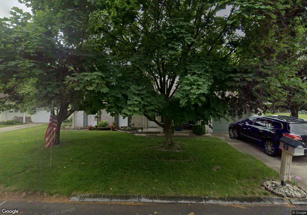
1070 Westchester Ct van Wert, OH 45891
Estimated Value: $157,034 - $204,000
3
Beds
2
Baths
1,128
Sq Ft
$156/Sq Ft
Est. Value
About This Home
This home is located at 1070 Westchester Ct, van Wert, OH 45891 and is currently estimated at $176,259, approximately $156 per square foot. 1070 Westchester Ct is a home located in Van Wert County with nearby schools including Van Wert Early Childhood Center, Van Wert High School, and Lifelinks Community School.
Ownership History
Date
Name
Owned For
Owner Type
Purchase Details
Closed on
Sep 20, 2023
Sold by
Ebbing Joshua M and Ebbing Natasha M
Bought by
Ebbing Family Living Trust and Ebbing
Current Estimated Value
Purchase Details
Closed on
Aug 10, 2022
Sold by
Riggenbach Thomas M
Bought by
Gilbert David W
Purchase Details
Closed on
May 21, 1999
Bought by
Gilbert David W
Purchase Details
Closed on
Sep 12, 1997
Bought by
Morefield Joseph D and Morefield Peggy
Create a Home Valuation Report for This Property
The Home Valuation Report is an in-depth analysis detailing your home's value as well as a comparison with similar homes in the area
Home Values in the Area
Average Home Value in this Area
Purchase History
| Date | Buyer | Sale Price | Title Company |
|---|---|---|---|
| Ebbing Family Living Trust | -- | None Listed On Document | |
| Gilbert David W | $101,100 | None Listed On Document | |
| Gilbert David W | $84,000 | -- | |
| Morefield Joseph D | $70,000 | -- |
Source: Public Records
Tax History Compared to Growth
Tax History
| Year | Tax Paid | Tax Assessment Tax Assessment Total Assessment is a certain percentage of the fair market value that is determined by local assessors to be the total taxable value of land and additions on the property. | Land | Improvement |
|---|---|---|---|---|
| 2024 | $1,535 | $44,650 | $3,960 | $40,690 |
| 2023 | $1,535 | $44,650 | $3,960 | $40,690 |
| 2022 | $1,347 | $34,130 | $2,390 | $31,740 |
| 2021 | $1,292 | $34,130 | $2,390 | $31,740 |
| 2020 | $1,208 | $34,130 | $2,390 | $31,740 |
| 2019 | $817 | $29,670 | $2,390 | $27,280 |
| 2018 | $798 | $29,670 | $2,390 | $27,280 |
| 2017 | $771 | $29,670 | $2,390 | $27,280 |
| 2016 | $692 | $28,150 | $2,390 | $25,760 |
| 2015 | $692 | $28,150 | $2,390 | $25,760 |
| 2014 | $685 | $28,150 | $2,390 | $25,760 |
| 2013 | $737 | $28,150 | $2,390 | $25,760 |
Source: Public Records
Map
Nearby Homes
- 1055 Westchester Ct
- 1028 Westchester Ct
- 927 Woodland Ave
- 1213 David St
- 1006 Hughes St
- 218 Burt St
- 729 George St
- 706 Woodland Ave
- 1421 Krendl Dr
- 736 Leeson Ave
- 510 Euclid Ave
- 1006 Kear Rd
- 9188 John Brown Rd Unit Lot 37
- 9188 John Brown Rd Unit Lot 7
- 9188 John Brown Rd Unit LOT 60
- 9188 John Brown Rd Unit LOT 15
- 603 Pewterboy Ave
- 902 Kear Rd
- 829 Allingham St
- 522 South Ave
- 210 Woodstock Dr
- 1064 Westchester Ct
- 216 Woodstock Dr
- 190 Woodstock Dr
- 201 Woodstock Dr
- 207 Woodstock Dr
- 1058 Westchester Ct
- 189 Woodstock Dr
- 195 Woodstock Dr
- 220 Woodstock Dr
- 195 Biltmore Ave
- 1052 Westchester Ct
- 213 Woodstock Dr
- 1049 Westchester Ct
- 199 Biltmore Ave
- 183 Woodstock Dr
- 219 Woodstock Dr
- 224 Woodstock Dr
- 196 Kenwick Dr