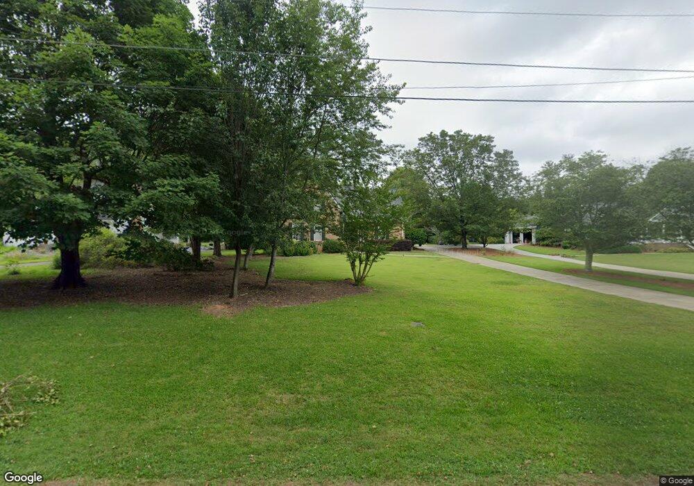
1070 William St Madison, GA 30650
Estimated Value: $453,172 - $564,000
3
Beds
3
Baths
2,628
Sq Ft
$196/Sq Ft
Est. Value
About This Home
This home is located at 1070 William St, Madison, GA 30650 and is currently estimated at $515,293, approximately $196 per square foot. 1070 William St is a home located in Morgan County with nearby schools including Morgan County Primary School, Morgan County Elementary School, and Morgan County Middle School.
Ownership History
Date
Name
Owned For
Owner Type
Purchase Details
Closed on
Dec 16, 2016
Sold by
Kay Maddox
Bought by
Cox William Michael and Cox Amy Carter
Current Estimated Value
Purchase Details
Closed on
Apr 14, 2015
Sold by
Maddox Mary Carolyn Mccay
Bought by
Cox Kay Maddox
Purchase Details
Closed on
Nov 14, 2014
Sold by
Maddox Carolyn
Bought by
Maddox Carolyn
Purchase Details
Closed on
Aug 13, 1984
Sold by
Nolan Mary Glenn Prior
Bought by
Maddox Carolyn
Create a Home Valuation Report for This Property
The Home Valuation Report is an in-depth analysis detailing your home's value as well as a comparison with similar homes in the area
Home Values in the Area
Average Home Value in this Area
Purchase History
| Date | Buyer | Sale Price | Title Company |
|---|---|---|---|
| Cox William Michael | $230,000 | -- | |
| Cox Kay Maddox | -- | -- | |
| Maddox Carolyn | -- | -- | |
| Maddox Carolyn | $9,500 | -- |
Source: Public Records
Tax History
| Year | Tax Paid | Tax Assessment Tax Assessment Total Assessment is a certain percentage of the fair market value that is determined by local assessors to be the total taxable value of land and additions on the property. | Land | Improvement |
|---|---|---|---|---|
| 2025 | $3,677 | $153,880 | $24,000 | $129,880 |
| 2024 | $3,731 | $134,408 | $22,000 | $112,408 |
| 2023 | $3,351 | $117,482 | $22,000 | $95,482 |
| 2022 | $3,243 | $109,683 | $20,000 | $89,683 |
| 2021 | $3,196 | $107,683 | $18,000 | $89,683 |
| 2020 | $3,189 | $106,417 | $18,000 | $88,417 |
| 2019 | $3,239 | $106,417 | $18,000 | $88,417 |
| 2018 | $3,283 | $106,417 | $18,000 | $88,417 |
| 2017 | $3,343 | $105,068 | $18,000 | $87,068 |
| 2016 | $3,002 | $92,113 | $18,000 | $74,113 |
| 2015 | $3,034 | $91,880 | $18,000 | $73,880 |
| 2014 | $2,381 | $88,600 | $20,000 | $68,600 |
| 2013 | -- | $81,640 | $20,000 | $61,640 |
Source: Public Records
Map
Nearby Homes
- 1000 Jacob Prickett Ln
- 991 Crawford St
- 1041 Alaina Ave Unit 69
- 811 Foster St
- 801 Park Ln
- 661 E Walton St
- 763 Hunter St
- 728 Markhams Dr
- 638 S Main St
- 982 Green Meadow Dr
- 358 Pine St
- 611 Foster Park Ln
- 280 Pine St
- 373 S Main St
- 617 Dixie Ave
- 270 S Main St
- 533 Village Rd
- 0 Apalachee Ridge Unit 23542402
- 516 Hillside Rd
- 1050 White St
- 1098 William St
- 1058 William St
- 1108 William St
- 1039 William St
- 1024 William St
- 1024 William St
- 1003 William St
- 895 Park Ln
- 1008 William St
- 975 William St
- 883 Park Ln
- 1095 Crawford St
- 850 Park Ln
- .78 +/- acres Poplar St
- 980 William St
- 980 William St
- 1063 Crawford St
- 851 Park Ln
- 951 William St
- 951 William St
Your Personal Tour Guide
Ask me questions while you tour the home.