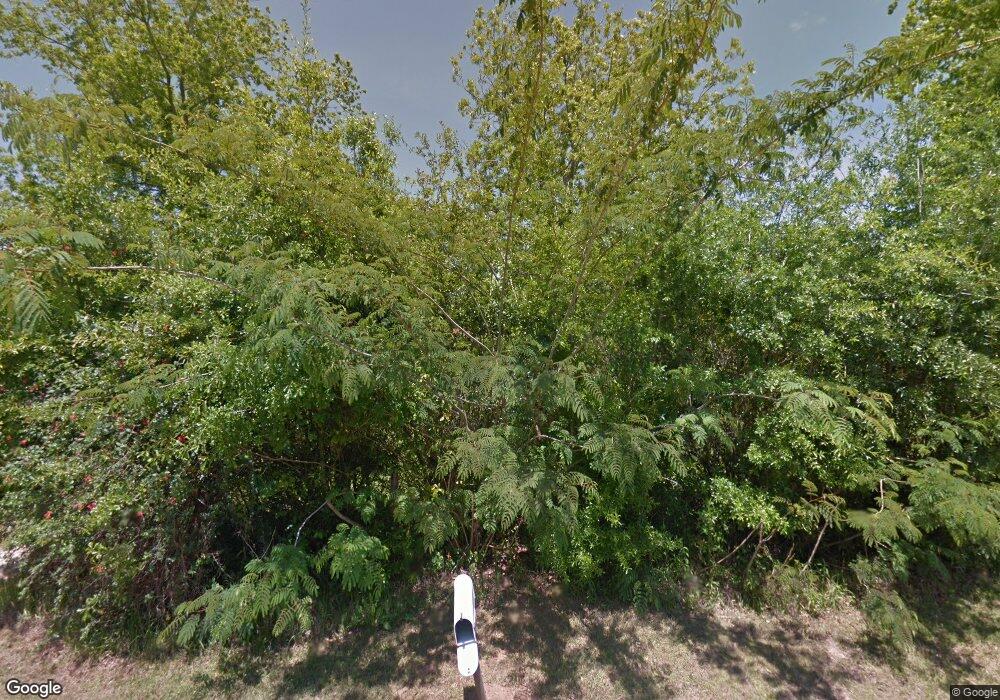
10700 Summit Rd Grand Bay, AL 36541
Union Church NeighborhoodEstimated Value: $89,376 - $267,000
3
Beds
1
Bath
1,325
Sq Ft
$159/Sq Ft
Est. Value
About This Home
This home is located at 10700 Summit Rd, Grand Bay, AL 36541 and is currently estimated at $211,094, approximately $159 per square foot. 10700 Summit Rd is a home located in Mobile County with nearby schools including Meadowlake Elementary School, Bernice J Causey Middle School, and Baker High School.
Ownership History
Date
Name
Owned For
Owner Type
Purchase Details
Closed on
Mar 12, 2013
Sold by
Regions Bank
Bought by
Knodel Chris Wesley and Knodel Glynis Buckley
Current Estimated Value
Home Financials for this Owner
Home Financials are based on the most recent Mortgage that was taken out on this home.
Original Mortgage
$120,000
Outstanding Balance
$84,757
Interest Rate
3.56%
Mortgage Type
Seller Take Back
Estimated Equity
$126,337
Purchase Details
Closed on
Jan 8, 2013
Sold by
Fannie Mae
Bought by
Regions Bank
Purchase Details
Closed on
Nov 12, 2010
Sold by
Knodel Chris Wesley and Knodel Glynis Buckley
Bought by
Federal National Mortgage Association
Create a Home Valuation Report for This Property
The Home Valuation Report is an in-depth analysis detailing your home's value as well as a comparison with similar homes in the area
Home Values in the Area
Average Home Value in this Area
Purchase History
| Date | Buyer | Sale Price | Title Company |
|---|---|---|---|
| Knodel Chris Wesley | $120,000 | Slt | |
| Regions Bank | -- | First American | |
| Federal National Mortgage Association | $84,999 | None Available |
Source: Public Records
Mortgage History
| Date | Status | Borrower | Loan Amount |
|---|---|---|---|
| Open | Knodel Chris Wesley | $120,000 |
Source: Public Records
Tax History Compared to Growth
Tax History
| Year | Tax Paid | Tax Assessment Tax Assessment Total Assessment is a certain percentage of the fair market value that is determined by local assessors to be the total taxable value of land and additions on the property. | Land | Improvement |
|---|---|---|---|---|
| 2024 | $827 | $7,800 | $3,840 | $3,960 |
| 2023 | $777 | $7,290 | $3,600 | $3,690 |
| 2022 | $707 | $14,580 | $7,200 | $7,380 |
| 2021 | $659 | $6,790 | $3,100 | $3,690 |
| 2020 | $657 | $6,770 | $3,100 | $3,670 |
| 2019 | $611 | $6,300 | $3,100 | $3,200 |
| 2018 | $611 | $12,600 | $0 | $0 |
| 2017 | $70 | $12,600 | $0 | $0 |
| 2016 | $624 | $12,860 | $0 | $0 |
| 2013 | -- | $5,940 | $0 | $0 |
Source: Public Records
Map
Nearby Homes
- 0 Wear Rd
- 0 Wear Rd Unit 7583928
- 4376 Baird Coxwell Rd
- 5190 Lods Field Rd
- 4256 Baird Coxwell Rd
- 4236 Baird Coxwell Rd
- 4246 Baird Coxwell Rd
- 4236 Baird Coxwell Rd
- 10735 Mcleod Rd
- 0 McCovery Rd
- 5269 Dawes Rd
- 10124 Crossley Hill Dr
- 9501 Ben Hamilton Rd
- 11555 Jack Hamilton Rd
- 00 Dawes Rd
- 0 Windy Leaf Dr Unit 7447401
- 0 Windy Leaf Dr Unit 7013459
- 0 Windy Leaf Dr Unit 7013447
- 0 Windy Leaf Dr Unit 7013427
- 0 Windy Leaf Dr Unit 7013391
- 10700 Summit Rd
- 10750 Summit Rd
- 10701 Summit Rd
- 10751 Summit Rd
- 10670 Summit Rd
- 10651 Summit Rd
- 10650 Summit Rd
- 4988 Baird Coxwell Rd
- 5100 Dawes Rd
- 5078 Dawes Rd
- 5050 Dawes Rd
- 5070 Dawes Rd
- 5150 Dawes Rd
- 5188 Dawes Rd
- 5079 Dawes Rd
- 5075 Dawes Rd
- 5083 Dawes Rd
- 5087 Dawes Rd
- 5093 Dawes Rd
- 5071 Dawes Rd
