10702 Cole Point Dr Anderson Island, WA 98303
Estimated Value: $544,000 - $640,518
3
Beds
2
Baths
1,928
Sq Ft
$312/Sq Ft
Est. Value
About This Home
This home is located at 10702 Cole Point Dr, Anderson Island, WA 98303 and is currently estimated at $601,380, approximately $311 per square foot. 10702 Cole Point Dr is a home located in Pierce County with nearby schools including Anderson Island Elementary School, Pioneer Middle School, and Steilacoom High School.
Ownership History
Date
Name
Owned For
Owner Type
Purchase Details
Closed on
Jun 14, 2002
Sold by
Cragg Candace
Bought by
Granoski Charles M
Current Estimated Value
Home Financials for this Owner
Home Financials are based on the most recent Mortgage that was taken out on this home.
Original Mortgage
$59,396
Outstanding Balance
$24,990
Interest Rate
6.74%
Mortgage Type
Seller Take Back
Estimated Equity
$576,390
Purchase Details
Closed on
Apr 2, 2002
Sold by
Cragg Candace
Bought by
Granoski Charles M
Home Financials for this Owner
Home Financials are based on the most recent Mortgage that was taken out on this home.
Original Mortgage
$72,603
Interest Rate
6.84%
Mortgage Type
Seller Take Back
Purchase Details
Closed on
Oct 5, 2001
Sold by
Garrett Mary V
Bought by
Cragg Candace
Create a Home Valuation Report for This Property
The Home Valuation Report is an in-depth analysis detailing your home's value as well as a comparison with similar homes in the area
Home Values in the Area
Average Home Value in this Area
Purchase History
| Date | Buyer | Sale Price | Title Company |
|---|---|---|---|
| Granoski Charles M | $80,000 | -- | |
| Granoski Charles M | $80,000 | Rainier Title Company | |
| Cragg Candace | $160,000 | -- |
Source: Public Records
Mortgage History
| Date | Status | Borrower | Loan Amount |
|---|---|---|---|
| Open | Granoski Charles M | $59,396 | |
| Previous Owner | Granoski Charles M | $72,603 |
Source: Public Records
Tax History Compared to Growth
Tax History
| Year | Tax Paid | Tax Assessment Tax Assessment Total Assessment is a certain percentage of the fair market value that is determined by local assessors to be the total taxable value of land and additions on the property. | Land | Improvement |
|---|---|---|---|---|
| 2025 | $5,901 | $634,700 | $249,100 | $385,600 |
| 2024 | $5,901 | $615,100 | $243,100 | $372,000 |
| 2023 | $5,901 | $562,000 | $228,500 | $333,500 |
| 2022 | $5,171 | $517,100 | $218,800 | $298,300 |
| 2021 | $4,744 | $372,000 | $170,100 | $201,900 |
| 2019 | $3,909 | $360,000 | $161,600 | $198,400 |
| 2018 | $4,120 | $297,400 | $138,500 | $158,900 |
| 2017 | $3,721 | $278,500 | $130,000 | $148,500 |
| 2016 | $4,105 | $276,500 | $128,800 | $147,700 |
| 2014 | $3,745 | $279,300 | $128,800 | $150,500 |
| 2013 | $3,745 | $222,300 | $111,400 | $110,900 |
Source: Public Records
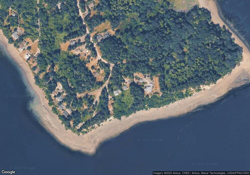
Map
Nearby Homes
- 11024 Cascade Place
- 11422 Leschi Cir
- 11511 Lake Josephine Ave
- 11321 Lake Josephine Blvd
- 11507 Lake Josephine Ave
- 10712 Lakeshore Dr
- 10603 Lakeshore Dr
- 11616 Country Club Dr
- 11913 Country Club Dr
- 11813 Country Club Dr
- 12721 110th St
- 11205 110th St
- 10419 Riviera Dr
- 10921 Pioneer Dr
- 10718 Trout Place W
- 11421 108th St Unit AI
- 11324 Laurel Place
- 12212 Sound Dr
- 11114 106th St
- 11212 &11208 106th St
- 10708 Cole Point Dr Unit AI
- 10624 Cole Point Dr
- 10712 Cole Point Dr
- 10806 125th Street Ct Unit AI
- 10802 125th Street Ct
- 10805 125th Street Ct
- 12511 Cole Point Dr Unit AI
- 10804 Cole Point Dr
- 12512 Cole Point Dr Unit AI
- 10808 Cole Point Dr
- 12410 Cole Point Dr
- 12406 Cole Point Dr
- 12508 Cole Point Dr Unit AI
- 12508 Cole Point Dr
- 10906 Cole Point Dr
- 10910 Cole Point Dr
- 12623 110th Ave
- 12619 110th Ave
- 12619 110th Ave Unit AI
- 10800 126th St