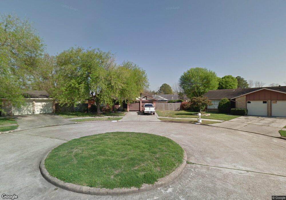
10702 Dusty Trail Dr Houston, TX 77086
North Houston NeighborhoodEstimated Value: $209,702 - $235,000
3
Beds
2
Baths
1,418
Sq Ft
$157/Sq Ft
Est. Value
About This Home
This home is located at 10702 Dusty Trail Dr, Houston, TX 77086 and is currently estimated at $222,926, approximately $157 per square foot. 10702 Dusty Trail Dr is a home located in Harris County with nearby schools including Kujawa EC/Pre-K/K School, Carmichael Elementary School, and Shotwell Middle School.
Ownership History
Date
Name
Owned For
Owner Type
Purchase Details
Closed on
Jul 25, 2002
Sold by
Cantu Leo
Bought by
Price Carrie M
Current Estimated Value
Home Financials for this Owner
Home Financials are based on the most recent Mortgage that was taken out on this home.
Original Mortgage
$90,782
Interest Rate
6.69%
Mortgage Type
FHA
Purchase Details
Closed on
Apr 30, 2001
Sold by
Perez Roberto and Perez Vilma
Bought by
Cantu Leo
Purchase Details
Closed on
Dec 3, 1993
Sold by
Miller Marshall Wayne and Miller Johnie
Bought by
Cantu Leovigildo
Home Financials for this Owner
Home Financials are based on the most recent Mortgage that was taken out on this home.
Original Mortgage
$31,000
Interest Rate
6.71%
Mortgage Type
Seller Take Back
Create a Home Valuation Report for This Property
The Home Valuation Report is an in-depth analysis detailing your home's value as well as a comparison with similar homes in the area
Home Values in the Area
Average Home Value in this Area
Purchase History
| Date | Buyer | Sale Price | Title Company |
|---|---|---|---|
| Price Carrie M | -- | Stewart Title | |
| Cantu Leo | -- | Stewart Title | |
| Cantu Leovigildo | -- | -- |
Source: Public Records
Mortgage History
| Date | Status | Borrower | Loan Amount |
|---|---|---|---|
| Closed | Price Carrie M | $90,782 | |
| Previous Owner | Cantu Leovigildo | $31,000 |
Source: Public Records
Tax History Compared to Growth
Tax History
| Year | Tax Paid | Tax Assessment Tax Assessment Total Assessment is a certain percentage of the fair market value that is determined by local assessors to be the total taxable value of land and additions on the property. | Land | Improvement |
|---|---|---|---|---|
| 2025 | $784 | $222,586 | $39,911 | $182,675 |
| 2024 | $784 | $222,586 | $39,911 | $182,675 |
| 2023 | $784 | $230,098 | $39,911 | $190,187 |
| 2022 | $3,477 | $193,515 | $33,823 | $159,692 |
| 2021 | $3,153 | $161,012 | $33,823 | $127,189 |
| 2020 | $3,187 | $150,372 | $33,823 | $116,549 |
| 2019 | $3,012 | $145,780 | $17,235 | $128,545 |
| 2018 | $472 | $137,957 | $17,235 | $120,722 |
| 2017 | $2,400 | $129,243 | $15,476 | $113,767 |
| 2016 | $2,182 | $115,424 | $15,476 | $99,948 |
| 2015 | $1,523 | $108,783 | $15,476 | $93,307 |
| 2014 | $1,523 | $72,883 | $15,476 | $57,407 |
Source: Public Records
Map
Nearby Homes
- 7218 Winding Trace Dr
- 7023 Sandswept Ln
- 7222 Northleaf Dr
- 7002 Sandswept Ln
- 10711 Heather Hill Dr
- 10614 Mackenzie Dr
- 7227 Greenyard Dr
- 10723 Mackenzie Dr
- 10307 Bammel North Houston Rd
- 11007 Tobasa Ct
- 6722 Winding Trace Dr
- 6911 Silver Star Dr
- 7302 Seton Lake Dr
- 6654 Brownie Campbell Rd
- 11006 Crinkleawn Dr
- 7307 Silver Star Dr
- 6630 Brownie Campbell Rd
- 5010 Kale Ct
- 11021 Crenchrus Ct
- 6822 Dusty Dawn Dr
- 10706 Dusty Trail Dr
- 10723 Hazy Valley Ln
- 10719 Hazy Valley Ln
- 10703 Dusty Trail Dr
- 10727 Hazy Valley Ln
- 7207 Winding Trace Dr
- 10715 Hazy Valley Ln
- 10710 Dusty Trail Dr
- 10707 Dusty Trail Dr
- 7211 Winding Trace Dr
- 10731 Hazy Valley Ln
- 10711 Hazy Valley Ln
- 10711 Dusty Trail Dr
- 7215 Winding Trace Dr
- 10714 Dusty Trail Dr
- 10707 Hazy Valley Ln
- 7210 Sandswept Ln
- 7214 Sandswept Ln
- 10715 Dusty Trail Dr
- 7218 Sandswept Ln