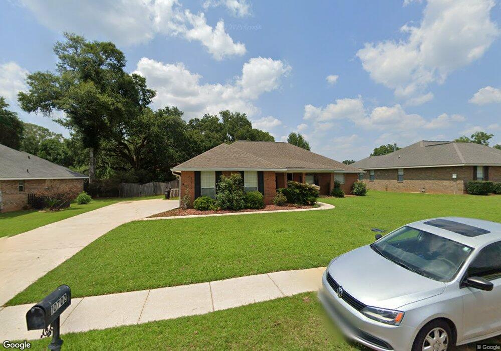
10702 Middle Oak Dr Mobile, AL 36695
Outer West Mobile NeighborhoodEstimated Value: $242,255 - $300,000
3
Beds
2
Baths
2,016
Sq Ft
$136/Sq Ft
Est. Value
About This Home
This home is located at 10702 Middle Oak Dr, Mobile, AL 36695 and is currently estimated at $274,314, approximately $136 per square foot. 10702 Middle Oak Dr is a home located in Mobile County with nearby schools including Hutchens Elementary School, Dawes Intermediate School, and Bernice J Causey Middle School.
Ownership History
Date
Name
Owned For
Owner Type
Purchase Details
Closed on
Jul 22, 2004
Sold by
Adams Homes Llc
Bought by
Carwile Charles R and Carwile Janet H
Current Estimated Value
Home Financials for this Owner
Home Financials are based on the most recent Mortgage that was taken out on this home.
Original Mortgage
$132,520
Interest Rate
6.22%
Mortgage Type
Unknown
Create a Home Valuation Report for This Property
The Home Valuation Report is an in-depth analysis detailing your home's value as well as a comparison with similar homes in the area
Home Values in the Area
Average Home Value in this Area
Purchase History
| Date | Buyer | Sale Price | Title Company |
|---|---|---|---|
| Carwile Charles R | $166,020 | Surety Land Title Inc |
Source: Public Records
Mortgage History
| Date | Status | Borrower | Loan Amount |
|---|---|---|---|
| Previous Owner | Carwile Charles R | $132,520 |
Source: Public Records
Tax History
| Year | Tax Paid | Tax Assessment Tax Assessment Total Assessment is a certain percentage of the fair market value that is determined by local assessors to be the total taxable value of land and additions on the property. | Land | Improvement |
|---|---|---|---|---|
| 2025 | $1,178 | $24,220 | $4,000 | $20,220 |
| 2024 | $1,178 | $23,920 | $4,000 | $19,920 |
| 2023 | $1,163 | $21,740 | $5,000 | $16,740 |
| 2022 | $874 | $19,400 | $4,500 | $14,900 |
| 2021 | $824 | $18,370 | $4,500 | $13,870 |
| 2020 | $832 | $18,530 | $4,500 | $14,030 |
| 2019 | $799 | $17,860 | $0 | $0 |
| 2018 | $807 | $18,020 | $0 | $0 |
| 2017 | $877 | $18,020 | $0 | $0 |
| 2016 | $820 | $18,280 | $0 | $0 |
| 2013 | $883 | $18,480 | $0 | $0 |
Source: Public Records
Map
Nearby Homes
- 10772 Middle Oak Dr
- 10709 Mcleod Rd
- 10723 Mcleod Rd
- 10699 Mcleod Rd
- 10735 Mcleod Rd
- 10745 Mcleod Rd
- 10757 Mcleod Rd
- 4320 Alden Cir E
- 0 Deer Crest Dr Unit 4
- 0 Deer Crest Dr Unit 7552478
- 4331 Alden Cir E
- 3050 Jersey Dr W
- 9963 Summer Woods Cir S
- 10351 Jeff Hamilton Rd
- 10518 Ellenton St W
- 10532 Ellenton St W
- 3387 Deer Crest Dr
- 3740 Latigo Rd
- 3255 Scott Dairy Loop Rd W
- 10485 Ellenton St W
- 10712 Middle Oak Dr
- 10722 Middle Oak Dr
- 10682 Middle Oak Dr
- 10703 Middle Oak Dr
- 10693 Middle Oak Dr
- 3562 Knobbley Dr
- 10713 Middle Oak Dr
- 10732 Middle Oak Dr
- 3614 Knobbley Dr
- 10723 Middle Oak Dr
- 3552 Knobbley Dr
- 10720 Rigby Dr
- 10730 Rigby Dr
- 10733 Middle Oak Dr
- 10740 Rigby Dr
- 10742 Middle Oak Dr
- 10710 Rigby Dr
- 3573 Knobbley Dr
- 3542 Knobbley Dr
- 3563 Knobbley Dr
Your Personal Tour Guide
Ask me questions while you tour the home.