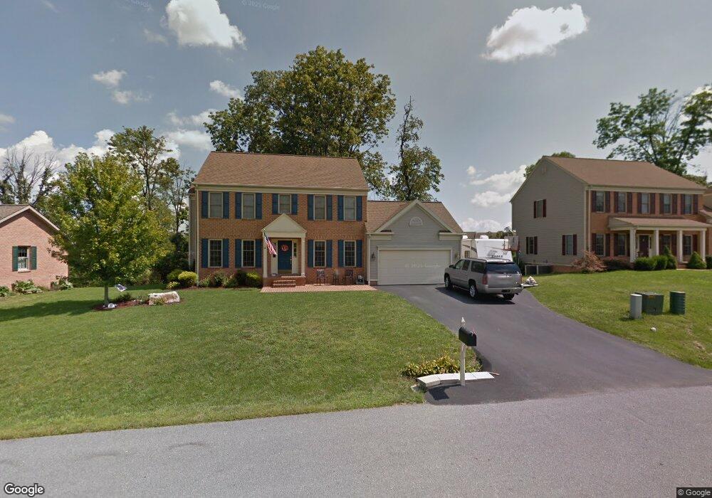
10705 Bratton Ct Williamsport, MD 21795
Estimated Value: $435,816 - $478,000
Studio
3
Baths
2,086
Sq Ft
$221/Sq Ft
Est. Value
About This Home
This home is located at 10705 Bratton Ct, Williamsport, MD 21795 and is currently estimated at $460,454, approximately $220 per square foot. 10705 Bratton Ct is a home located in Washington County with nearby schools including Williamsport Elementary School, Springfield Middle School, and Williamsport High School.
Ownership History
Date
Name
Owned For
Owner Type
Purchase Details
Closed on
Jul 3, 2025
Sold by
Truax Todd Derrell
Bought by
Truax Christina Lynn
Current Estimated Value
Purchase Details
Closed on
Sep 13, 2002
Sold by
Conrad Homes Inc
Bought by
Truax Todd D and Truax Christina L
Purchase Details
Closed on
Jan 31, 2002
Sold by
Lee Downey Richmond
Bought by
Conrad Homes Inc
Create a Home Valuation Report for This Property
The Home Valuation Report is an in-depth analysis detailing your home's value as well as a comparison with similar homes in the area
Home Values in the Area
Average Home Value in this Area
Purchase History
| Date | Buyer | Sale Price | Title Company |
|---|---|---|---|
| Truax Christina Lynn | -- | None Listed On Document | |
| Truax Todd D | $271,500 | -- | |
| Conrad Homes Inc | $39,500 | -- |
Source: Public Records
Mortgage History
| Date | Status | Borrower | Loan Amount |
|---|---|---|---|
| Closed | Truax Todd D | -- |
Source: Public Records
Tax History
| Year | Tax Paid | Tax Assessment Tax Assessment Total Assessment is a certain percentage of the fair market value that is determined by local assessors to be the total taxable value of land and additions on the property. | Land | Improvement |
|---|---|---|---|---|
| 2025 | $4,046 | $439,100 | $67,800 | $371,300 |
| 2024 | $4,046 | $390,767 | $0 | $0 |
| 2023 | $3,545 | $342,433 | $0 | $0 |
| 2022 | $3,045 | $294,100 | $67,800 | $226,300 |
| 2021 | $2,959 | $287,233 | $0 | $0 |
| 2020 | $2,959 | $280,367 | $0 | $0 |
| 2019 | $2,899 | $273,500 | $67,800 | $205,700 |
| 2018 | $2,859 | $269,700 | $0 | $0 |
| 2017 | $2,819 | $265,900 | $0 | $0 |
| 2016 | -- | $262,100 | $0 | $0 |
| 2015 | $2,937 | $262,100 | $0 | $0 |
| 2014 | $2,937 | $262,100 | $0 | $0 |
Source: Public Records
Map
Nearby Homes
- 10808 Archer Ln
- 16723 Caldwell Ct
- 10818 Anderson Dr
- 10510 Hershey Dr
- 17110 Miner Ave
- 17125 Miner Ave
- 17208 Amber Dr
- 17325 Diane Dr
- 16804 Longfellow Ct Unit 652
- 17325 Gay St
- 10901 Roessner Ave
- 16810 Alcott Rd
- 11307 Hawthorne Ct
- 10801 Lincoln Heights
- 16904 Pickwick Ln Unit 307
- 17410 Gay St
- 16847 Longfellow Ct
- 17338 Virginia Ave
- 16935 Alcott Rd
- 17400 Virginia Ave
- 10709 Bratton Ct
- 16902 Hastings Dr
- 16904 Reading Dr
- 10617 Bratton Ct
- 10704 Bratton Ct
- 16902 Reading Dr
- 10713 Bratton Ct
- 10708 Bratton Ct
- 16904 Hastings Dr
- 16900 Hastings Dr
- 10616 Bratton Ct
- 16906 Reading Dr
- 10712 Bratton Ct
- 10613 Bratton Ct
- 16900 Reading Dr
- 16806 Paxton Dr
- 10721 Bratton Ct
- 10716 Bratton Ct
- 16908 Hastings Dr
- 16901 Hastings Dr