10705 Chapeldale Rd Randallstown, MD 21133
Estimated Value: $640,000 - $773,000
Studio
4
Baths
3,248
Sq Ft
$220/Sq Ft
Est. Value
About This Home
This home is located at 10705 Chapeldale Rd, Randallstown, MD 21133 and is currently estimated at $715,545, approximately $220 per square foot. 10705 Chapeldale Rd is a home located in Baltimore County with nearby schools including Hernwood Elementary School, Deer Park Middle Magnet School, and New Town High.
Ownership History
Date
Name
Owned For
Owner Type
Purchase Details
Closed on
Oct 4, 2005
Sold by
Wiggs Larry A
Bought by
Sykes Mark A and Sykes Lashawn
Current Estimated Value
Home Financials for this Owner
Home Financials are based on the most recent Mortgage that was taken out on this home.
Original Mortgage
$412,000
Outstanding Balance
$221,632
Interest Rate
5.84%
Mortgage Type
New Conventional
Estimated Equity
$493,913
Purchase Details
Closed on
Apr 27, 2005
Sold by
Nvrinc
Bought by
Wiggs Larry A and Sykes Mark A
Home Financials for this Owner
Home Financials are based on the most recent Mortgage that was taken out on this home.
Original Mortgage
$359,650
Interest Rate
5.61%
Mortgage Type
New Conventional
Create a Home Valuation Report for This Property
The Home Valuation Report is an in-depth analysis detailing your home's value as well as a comparison with similar homes in the area
Home Values in the Area
Average Home Value in this Area
Purchase History
| Date | Buyer | Sale Price | Title Company |
|---|---|---|---|
| Sykes Mark A | -- | -- | |
| Wiggs Larry A | $424,765 | -- |
Source: Public Records
Mortgage History
| Date | Status | Borrower | Loan Amount |
|---|---|---|---|
| Open | Sykes Mark A | $412,000 | |
| Previous Owner | Wiggs Larry A | $359,650 |
Source: Public Records
Tax History
| Year | Tax Paid | Tax Assessment Tax Assessment Total Assessment is a certain percentage of the fair market value that is determined by local assessors to be the total taxable value of land and additions on the property. | Land | Improvement |
|---|---|---|---|---|
| 2025 | $6,491 | $608,167 | -- | -- |
| 2024 | $6,491 | $533,000 | $132,000 | $401,000 |
| 2023 | $3,220 | $526,367 | $0 | $0 |
| 2022 | $6,302 | $519,733 | $0 | $0 |
| 2021 | $6,064 | $513,100 | $132,000 | $381,100 |
| 2020 | $6,064 | $495,400 | $0 | $0 |
| 2019 | $5,850 | $477,700 | $0 | $0 |
| 2018 | $5,635 | $460,000 | $132,000 | $328,000 |
| 2017 | $5,574 | $459,100 | $0 | $0 |
| 2016 | $5,908 | $458,200 | $0 | $0 |
| 2015 | $5,908 | $457,300 | $0 | $0 |
| 2014 | $5,908 | $457,300 | $0 | $0 |
Source: Public Records
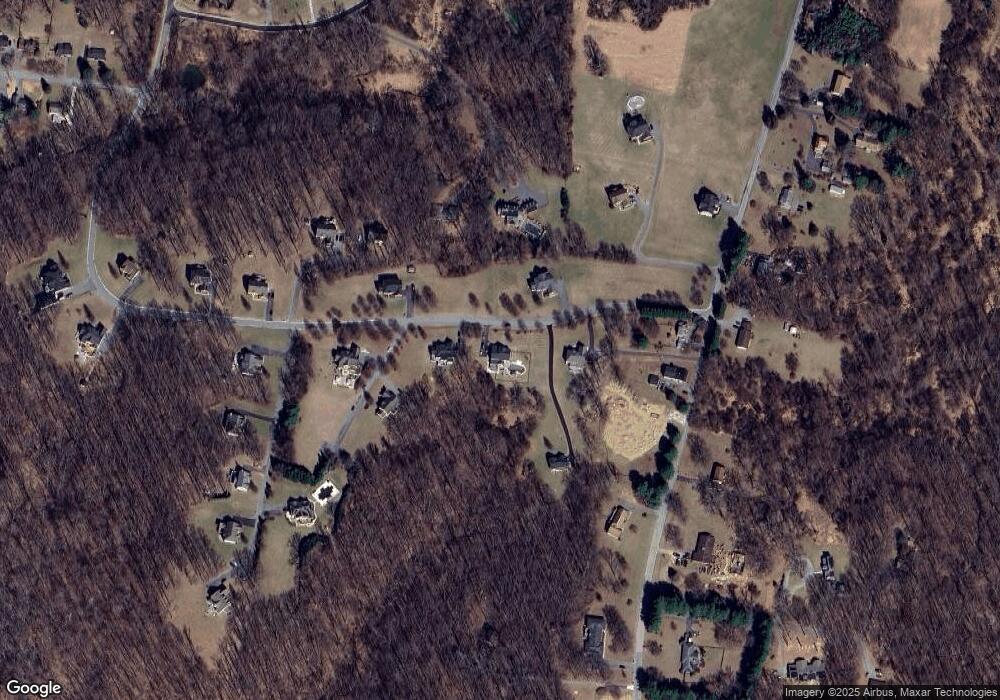
Map
Nearby Homes
- 10702 Liberty Rd
- 4107 Holbrook Rd
- 4133 Holbrook Rd
- 4129 Holbrook Rd
- 3904 Wards Chapel Rd
- 3618 Granite Rd
- 30 Sheraton Rd
- 4264 Cayuga Rd
- 0 Deer Park Rd
- 9839 Branchleigh Rd
- 10 Kiska Ct
- 10 Geier Ct
- 9804 Marriottsville Rd
- 9713 Mendoza Rd
- 4718 Truffle Ln
- 4205 Paran Rd
- 3516 Corn Stream Rd
- 9605 Mendoza Rd
- 4717 Wainwright Cir
- 3558 Corn Stream Rd
- 10707 Chapeldale Rd
- 10701 Chapeldale Rd
- 10700 Chapeldale Rd
- 10704 Chapeldale Rd
- 10709 Chapeldale Rd
- 10703 Chapeldale Rd
- 10809 Stansfield Rd
- 10717 Chapeldale Rd
- 10809 Stansfield Rd
- 10811 Liberty Rd
- 4351 Chapeldale Rd
- 4314 Holbrook Rd
- 4310 Holbrook Rd
- 4320 Holbrook Rd
- 4300 Holbrook Rd
- 4353 Chapeldale Rd
- 4315 Holbrook Rd
- 4303 Holbrook Rd
- 4358 Chapeldale Rd
- 4355 Chapeldale Rd
Your Personal Tour Guide
Ask me questions while you tour the home.