Estimated Value: $358,390
3
Beds
3
Baths
1,497
Sq Ft
$239/Sq Ft
Est. Value
About This Home
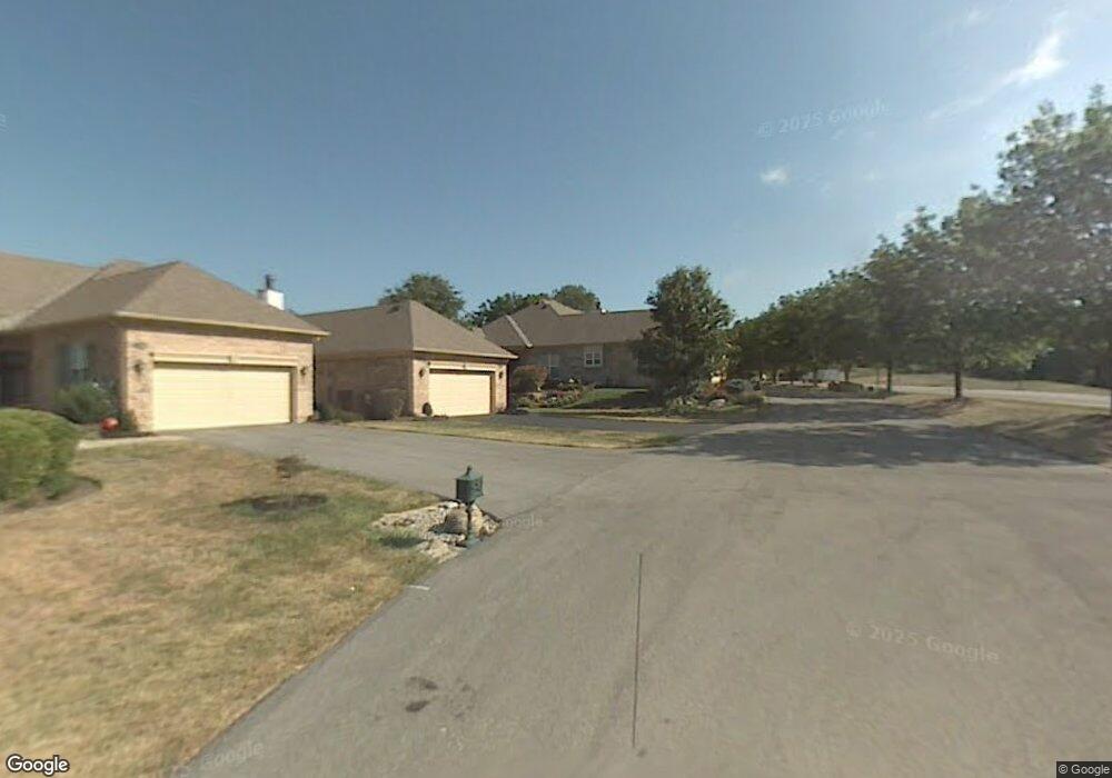
This home is located at 10705 Crown Pointe Dr, Union, KY 41091 and is currently estimated at $358,390, approximately $239 per square foot. 10705 Crown Pointe Dr is a home located in Boone County with nearby schools including New Haven Elementary School, Gray Middle School, and Larry A. Ryle High School.
Ownership History
Date
Name
Owned For
Owner Type
Purchase Details
Closed on
Aug 31, 2018
Sold by
Cox E Robert E and Cox Douglas R
Bought by
Knochel John G
Current Estimated Value
Purchase Details
Closed on
Dec 10, 2010
Sold by
Cox E Robert E and Cox Robert E
Bought by
Cox E Robert E and Cox Douglas R
Purchase Details
Closed on
Aug 28, 1995
Sold by
Sotiroff John A
Bought by
Cox Robert E and Cox Jacqueline
Home Financials for this Owner
Home Financials are based on the most recent Mortgage that was taken out on this home.
Original Mortgage
$50,000
Interest Rate
7.42%
Mortgage Type
New Conventional
Create a Home Valuation Report for This Property
The Home Valuation Report is an in-depth analysis detailing your home's value as well as a comparison with similar homes in the area
Home Values in the Area
Average Home Value in this Area
Purchase History
| Date | Buyer | Sale Price | Title Company |
|---|---|---|---|
| Knochel John G | $225,000 | 360 American Title Services | |
| Cox E Robert E | -- | None Available | |
| Cox Robert E | $175,000 | -- |
Source: Public Records
Mortgage History
| Date | Status | Borrower | Loan Amount |
|---|---|---|---|
| Previous Owner | Cox Robert E | $50,000 |
Source: Public Records
Tax History Compared to Growth
Tax History
| Year | Tax Paid | Tax Assessment Tax Assessment Total Assessment is a certain percentage of the fair market value that is determined by local assessors to be the total taxable value of land and additions on the property. | Land | Improvement |
|---|---|---|---|---|
| 2024 | $2,208 | $240,500 | $20,000 | $220,500 |
| 2023 | $2,737 | $240,500 | $20,000 | $220,500 |
| 2022 | $2,700 | $240,500 | $20,000 | $220,500 |
| 2021 | $2,606 | $225,000 | $0 | $225,000 |
| 2020 | $2,576 | $225,000 | $0 | $225,000 |
| 2019 | $2,606 | $225,000 | $0 | $225,000 |
| 2018 | $2,072 | $175,000 | $175,000 | $0 |
| 2017 | $1,997 | $175,000 | $175,000 | $0 |
| 2015 | $1,972 | $175,000 | $175,000 | $0 |
| 2013 | -- | $175,000 | $175,000 | $0 |
Source: Public Records
Map
Nearby Homes
- 1018 Whirlaway Dr
- 952 Dustwhirl Dr
- 10869 Arcaro Ln
- 10819 Sawgrass Ct
- 1049 Swale Ct
- 757 Gallant Fox Ln
- 10807 Doral Ct
- 10567 Secretariat Run
- 658 Coaltown Ct
- 10723 Saint Leger Cir
- 10851 Charismatic Ln
- 10880 Saint Andrews Dr
- 10730 Stone St
- 988 Reigh Count Dr
- 1205 Citation Dr
- 10605 Pimlico Park
- 11278 Longden Way
- 6800 Green Isle Ln
- 815 Devin Ct
- 10713 Stone St
- 10703 Crown Pointe Dr
- 10709 Crown Pointe Dr
- 10701 Crown Pointe Dr
- 10711 Crown Pointe Dr
- 10713 Crown Pointe Dr
- 10717 Crown Pointe Dr
- 10719 Crown Pointe Dr
- 10721 Crown Pointe Dr
- 10729 Crown Pointe Dr
- 10731 Crown Pointe Dr
- 923 Riva Ridge Ct
- 929 Riva Ridge Ct
- 915 Riva Ridge Ct
- 10733 Crown Pointe Dr
- 909 Riva Ridge Ct
- 903 Riva Ridge Ct
- 937 Riva Ridge Ct
- 10815 Omaha Trace
- 943 Riva Ridge Ct
- 10823 Omaha Trace