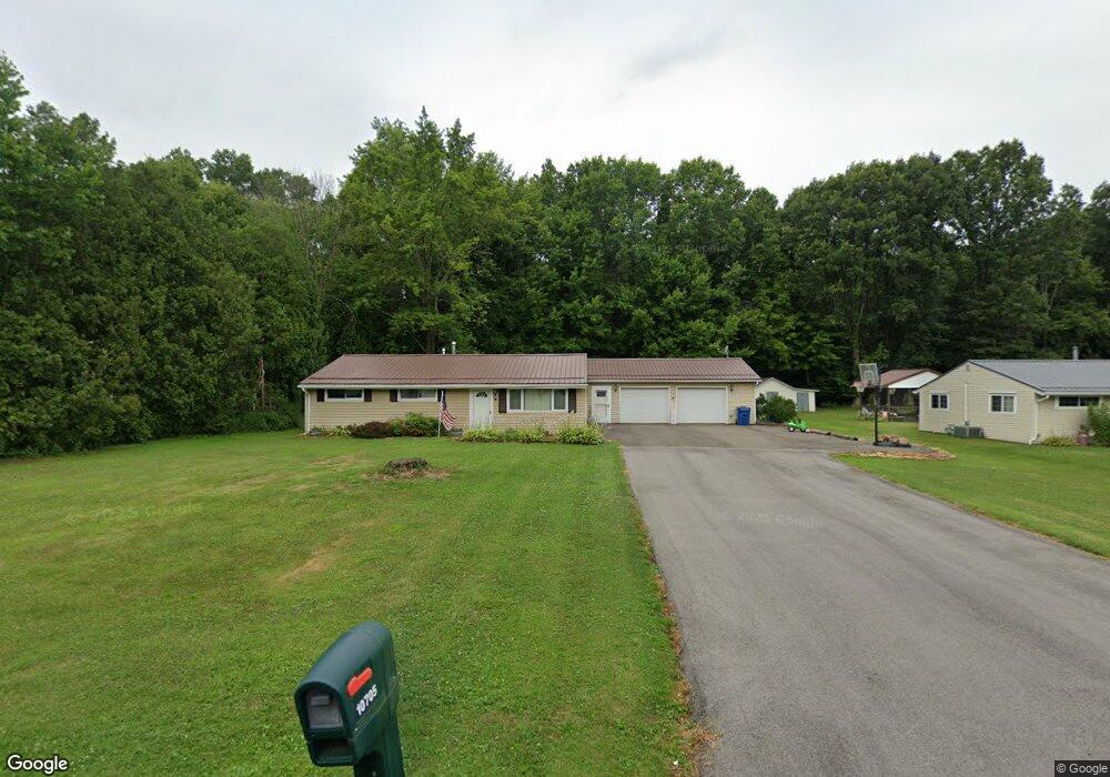
10705 Dot Ave NE Alliance, OH 44601
Estimated Value: $200,000 - $299,000
3
Beds
1
Bath
1,788
Sq Ft
$138/Sq Ft
Est. Value
About This Home
This home is located at 10705 Dot Ave NE, Alliance, OH 44601 and is currently estimated at $246,268, approximately $137 per square foot. 10705 Dot Ave NE is a home located in Stark County with nearby schools including Marlington High School and Regina Coeli/St Joseph School.
Ownership History
Date
Name
Owned For
Owner Type
Purchase Details
Closed on
Aug 28, 2000
Sold by
Miller Lisa A and Miller Lisa
Bought by
Walter Randy S and Cathey Lisa
Current Estimated Value
Home Financials for this Owner
Home Financials are based on the most recent Mortgage that was taken out on this home.
Original Mortgage
$54,400
Interest Rate
7.8%
Mortgage Type
Stand Alone Second
Create a Home Valuation Report for This Property
The Home Valuation Report is an in-depth analysis detailing your home's value as well as a comparison with similar homes in the area
Home Values in the Area
Average Home Value in this Area
Purchase History
| Date | Buyer | Sale Price | Title Company |
|---|---|---|---|
| Walter Randy S | -- | Resource Title Llc |
Source: Public Records
Mortgage History
| Date | Status | Borrower | Loan Amount |
|---|---|---|---|
| Previous Owner | Walter Randy S | $54,400 |
Source: Public Records
Tax History Compared to Growth
Tax History
| Year | Tax Paid | Tax Assessment Tax Assessment Total Assessment is a certain percentage of the fair market value that is determined by local assessors to be the total taxable value of land and additions on the property. | Land | Improvement |
|---|---|---|---|---|
| 2025 | -- | $65,700 | $21,880 | $43,820 |
| 2024 | -- | $65,700 | $21,880 | $43,820 |
| 2023 | $1,727 | $47,920 | $11,620 | $36,300 |
| 2022 | $1,733 | $47,920 | $11,620 | $36,300 |
| 2021 | $1,739 | $47,920 | $11,620 | $36,300 |
| 2020 | $1,640 | $40,290 | $10,010 | $30,280 |
| 2019 | $1,631 | $40,290 | $10,010 | $30,280 |
| 2018 | $1,633 | $40,290 | $10,010 | $30,280 |
| 2017 | $1,598 | $36,900 | $9,520 | $27,380 |
| 2016 | $1,598 | $36,900 | $9,520 | $27,380 |
| 2015 | $1,527 | $36,900 | $9,520 | $27,380 |
| 2014 | $1,395 | $30,780 | $7,950 | $22,830 |
| 2013 | $694 | $30,780 | $7,950 | $22,830 |
Source: Public Records
Map
Nearby Homes
- 10666 Wilma Ave NE
- 13334 Cindy St NE
- 0 Meadow St NE
- 12355 Edison St NE
- 11960 Freshley Ave NE
- 11480 Aebi Ave NE
- 0 W Main St Unit 5090123
- 13109 Edison St NE
- 1430 Westwood Ave
- 2081 Marwood Cir
- 12252 Snode St NE
- 0 Reeder Ave NE
- 2377 Ansley St Unit 2377
- 12415 Snode St NE
- 000 Klinger Ave
- 432 Johnson Ave
- 14422 Sturbridge Rd NE
- 1201 Overlook Dr
- 2851 Patriots Path Unit 3D
- 000 Meadowbrook Ave
- 10685 Dot Ave NE
- 10725 Dot Ave NE
- 10745 Dot Ave NE
- 10665 Dot Ave NE
- 10702 Dot Ave NE
- 10722 Dot Ave NE
- 10684 Dot Ave NE
- 10645 Dot Ave NE
- 10744 Dot Ave NE
- 10666 Dot Ave NE
- 10771 Dot Ave NE
- 10644 Dot Ave NE
- 10625 Dot Ave NE
- 10705 Barcus Ave NE
- 10770 Dot Ave NE
- 10725 Barcus Ave NE
- 10685 Barcus Ave NE
- 10791 Dot Ave NE
- 10745 Barcus Ave NE
- 10665 Barcus Ave NE