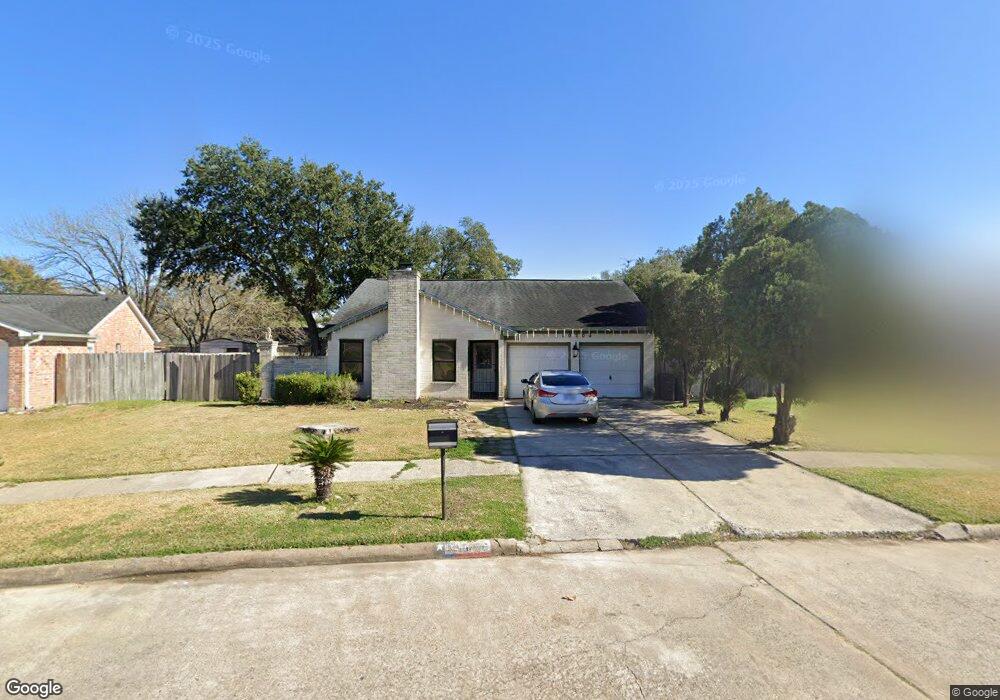
10706 Misty Summit Dr Houston, TX 77086
North Houston NeighborhoodEstimated Value: $235,000 - $255,000
4
Beds
2
Baths
1,932
Sq Ft
$126/Sq Ft
Est. Value
About This Home
This home is located at 10706 Misty Summit Dr, Houston, TX 77086 and is currently estimated at $243,833, approximately $126 per square foot. 10706 Misty Summit Dr is a home located in Harris County with nearby schools including Kujawa EC/Pre-K/K School, Carmichael Elementary School, and Shotwell Middle School.
Ownership History
Date
Name
Owned For
Owner Type
Purchase Details
Closed on
Feb 10, 2011
Sold by
Ancona Maria Elena and Pineda Roberto A
Bought by
Delarosa Jose and Delarosa Agustina
Current Estimated Value
Purchase Details
Closed on
Aug 22, 2007
Sold by
Ancona Maria E and Aguilar Gloria J
Bought by
Pineda Robert A
Create a Home Valuation Report for This Property
The Home Valuation Report is an in-depth analysis detailing your home's value as well as a comparison with similar homes in the area
Home Values in the Area
Average Home Value in this Area
Purchase History
| Date | Buyer | Sale Price | Title Company |
|---|---|---|---|
| Delarosa Jose | -- | None Available | |
| Pineda Robert A | -- | United Title Texas Inc |
Source: Public Records
Tax History Compared to Growth
Tax History
| Year | Tax Paid | Tax Assessment Tax Assessment Total Assessment is a certain percentage of the fair market value that is determined by local assessors to be the total taxable value of land and additions on the property. | Land | Improvement |
|---|---|---|---|---|
| 2025 | $5,502 | $234,387 | $40,262 | $194,125 |
| 2024 | $5,502 | $237,912 | $40,262 | $197,650 |
| 2023 | $5,430 | $242,421 | $40,262 | $202,159 |
| 2022 | $4,973 | $204,313 | $34,120 | $170,193 |
| 2021 | $4,126 | $169,898 | $34,120 | $135,778 |
| 2020 | $4,342 | $160,833 | $34,120 | $126,713 |
| 2019 | $4,344 | $154,781 | $17,380 | $137,401 |
| 2018 | $2,105 | $146,597 | $17,380 | $129,217 |
| 2017 | $3,719 | $137,424 | $15,607 | $121,817 |
| 2016 | $3,367 | $124,422 | $15,607 | $108,815 |
| 2015 | $2,358 | $115,659 | $15,607 | $100,052 |
| 2014 | $2,358 | $87,009 | $15,607 | $71,402 |
Source: Public Records
Map
Nearby Homes
- 6654 Brownie Campbell Rd
- 6722 Winding Trace Dr
- 6630 Brownie Campbell Rd
- 11006 Crinkleawn Dr
- 11007 Tobasa Ct
- 6610 Northleaf Dr
- 11009 Panicum Ct
- 11021 Crenchrus Ct
- 7002 Sandswept Ln
- 6615 Winding Trace Dr
- 7023 Sandswept Ln
- 10522 Northview Dr
- 7218 Winding Trace Dr
- 6911 Silver Star Dr
- 6502 Trail Valley Way
- 7222 Northleaf Dr
- 7227 Greenyard Dr
- 10614 Mackenzie Dr
- 10306 Jillana Kaye Dr
- 6822 Dusty Dawn Dr
- 10710 Misty Summit Dr
- 10702 Misty Summit Dr
- 10711 Coralstone Rd
- 10707 Coralstone Rd
- 10715 Coralstone Rd
- 10714 Misty Summit Dr
- 10703 Coralstone Rd
- 10719 Coralstone Rd
- 10707 Misty Summit Dr
- 10711 Misty Summit Dr
- 10803 Coralstone Rd
- 10802 Misty Summit Dr
- 6815 Canyon Way Dr
- 6819 Canyon Way Dr
- 6811 Canyon Way Dr
- 6903 Canyon Way Dr
- 10807 Coralstone Rd
- 6807 Canyon Way Dr
- 10806 Misty Summit Dr
- 10714 Coralstone Rd