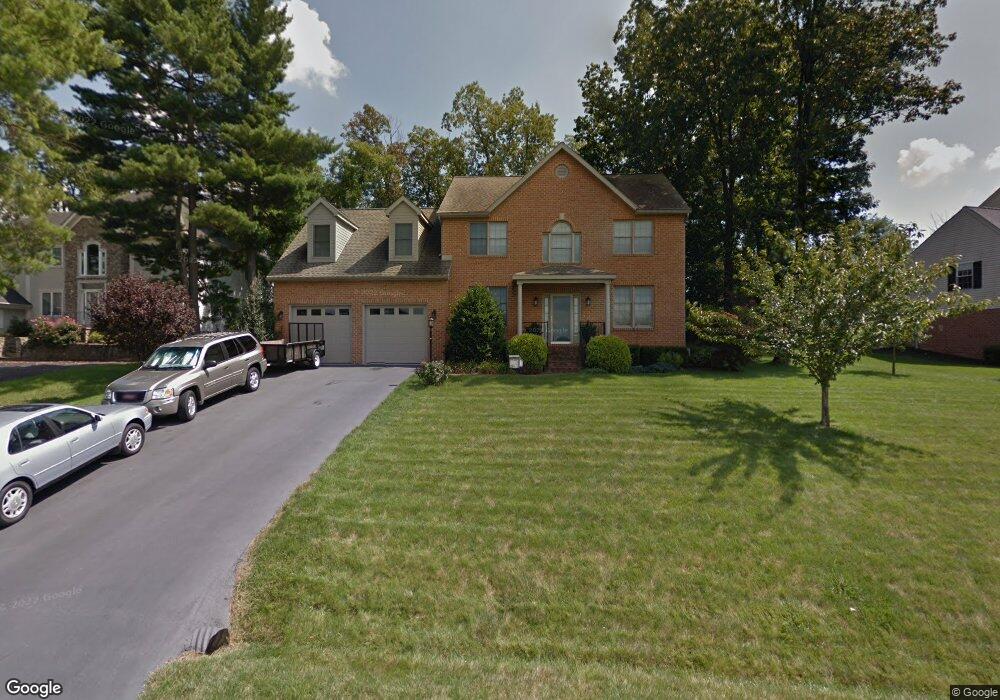
10707 Connor Dr Williamsport, MD 21795
Estimated Value: $496,000 - $620,000
--
Bed
3
Baths
2,986
Sq Ft
$186/Sq Ft
Est. Value
About This Home
This home is located at 10707 Connor Dr, Williamsport, MD 21795 and is currently estimated at $554,165, approximately $185 per square foot. 10707 Connor Dr is a home located in Washington County with nearby schools including Williamsport Elementary School, Springfield Middle School, and Williamsport High School.
Ownership History
Date
Name
Owned For
Owner Type
Purchase Details
Closed on
Jan 26, 2001
Sold by
Scott Thompson David and Scott Christy L
Bought by
Harris Robert E and Harris Elaine S
Current Estimated Value
Purchase Details
Closed on
Feb 3, 2000
Sold by
Lee Downey R
Bought by
Scott Thompson David and Scott Christy L
Create a Home Valuation Report for This Property
The Home Valuation Report is an in-depth analysis detailing your home's value as well as a comparison with similar homes in the area
Home Values in the Area
Average Home Value in this Area
Purchase History
| Date | Buyer | Sale Price | Title Company |
|---|---|---|---|
| Harris Robert E | $39,500 | -- | |
| Scott Thompson David | $37,900 | -- |
Source: Public Records
Mortgage History
| Date | Status | Borrower | Loan Amount |
|---|---|---|---|
| Closed | Scott Thompson David | -- |
Source: Public Records
Tax History Compared to Growth
Tax History
| Year | Tax Paid | Tax Assessment Tax Assessment Total Assessment is a certain percentage of the fair market value that is determined by local assessors to be the total taxable value of land and additions on the property. | Land | Improvement |
|---|---|---|---|---|
| 2025 | $4,572 | $497,600 | $67,500 | $430,100 |
| 2024 | $4,572 | $441,600 | $0 | $0 |
| 2023 | $3,992 | $385,600 | $0 | $0 |
| 2022 | $3,413 | $329,600 | $67,500 | $262,100 |
| 2021 | $3,312 | $321,733 | $0 | $0 |
| 2020 | $3,312 | $313,867 | $0 | $0 |
| 2019 | $3,244 | $306,000 | $67,500 | $238,500 |
| 2018 | $3,182 | $300,233 | $0 | $0 |
| 2017 | $3,121 | $294,467 | $0 | $0 |
| 2016 | -- | $288,700 | $0 | $0 |
| 2015 | -- | $288,700 | $0 | $0 |
| 2014 | $3,285 | $288,700 | $0 | $0 |
Source: Public Records
Map
Nearby Homes
- 10701 Bratton Ct
- 10730 Hershey Dr
- 10642 Hershey Dr
- 10808 Archer Ln
- 10608 Hershey Dr
- 10813 Wilcox Dr
- 10818 Anderson Dr
- 11015 Donelson Dr
- 16722 Custer Ct
- 17218 Tamarack Dr
- 17125 Miner Ave
- 10705 Timothy Dr
- 16804 Longfellow Ct Unit 652
- 11015 Beckley Rd
- 10903 Allen Ave
- 17325 Diane Dr
- 16802 Alcott Rd
- 16810 Alcott Rd
- 11307 Hawthorne Ct
- 17325 Gay St
- 10711 Connor Dr
- 10703 Connor Dr
- 16806 Paxton Dr
- 10715 Connor Dr
- 10708 Bratton Ct
- 10704 Bratton Ct
- 10712 Bratton Ct
- 16807 Paxton Dr
- 16803 Paxton Dr
- 10719 Connor Dr
- 10714 Connor Dr
- 10616 Bratton Ct
- 10716 Bratton Ct
- 10718 Connor Dr
- 16721 Paxton Dr
- 10612 Bratton Ct
- 10623 Connor Dr
- 10723 Connor Dr
- 10722 Connor Dr
- 10705 Bratton Ct