10707 NE 285th St Battle Ground, WA 98604
Estimated Value: $729,000 - $840,000
3
Beds
2
Baths
1,912
Sq Ft
$407/Sq Ft
Est. Value
About This Home
This home is located at 10707 NE 285th St, Battle Ground, WA 98604 and is currently estimated at $779,048, approximately $407 per square foot. 10707 NE 285th St is a home located in Clark County with nearby schools including Daybreak Primary School, Daybreak Middle School, and Battle Ground High School.
Ownership History
Date
Name
Owned For
Owner Type
Purchase Details
Closed on
May 13, 2020
Sold by
Leedy Jerome J
Bought by
Leedy Jade E
Current Estimated Value
Purchase Details
Closed on
Jul 12, 2011
Sold by
Federal National Mortgage Association
Bought by
Leedy Jade E and Leedy Jerome J
Home Financials for this Owner
Home Financials are based on the most recent Mortgage that was taken out on this home.
Original Mortgage
$219,000
Outstanding Balance
$150,238
Interest Rate
4.45%
Mortgage Type
New Conventional
Estimated Equity
$628,810
Purchase Details
Closed on
Sep 24, 2010
Sold by
Larson Roger W
Bought by
Federal National Mortgage Association
Purchase Details
Closed on
Jul 24, 2001
Sold by
Mcwilliams Dale A and Mcwilliams Elizabeth M
Bought by
Larson Roger W and Larson Geraldine A
Create a Home Valuation Report for This Property
The Home Valuation Report is an in-depth analysis detailing your home's value as well as a comparison with similar homes in the area
Home Values in the Area
Average Home Value in this Area
Purchase History
| Date | Buyer | Sale Price | Title Company |
|---|---|---|---|
| Leedy Jade E | -- | Wfg Clark County Resware | |
| Leedy Jade E | $219,000 | Fidelity National Title | |
| Federal National Mortgage Association | $222,296 | First American Title | |
| Larson Roger W | -- | Charter Title Corporation |
Source: Public Records
Mortgage History
| Date | Status | Borrower | Loan Amount |
|---|---|---|---|
| Open | Leedy Jade E | $219,000 |
Source: Public Records
Tax History Compared to Growth
Tax History
| Year | Tax Paid | Tax Assessment Tax Assessment Total Assessment is a certain percentage of the fair market value that is determined by local assessors to be the total taxable value of land and additions on the property. | Land | Improvement |
|---|---|---|---|---|
| 2025 | $5,938 | $716,736 | $292,424 | $424,312 |
| 2024 | $5,256 | $678,048 | $292,424 | $385,624 |
| 2023 | $5,664 | $633,453 | $234,060 | $399,393 |
| 2022 | $4,917 | $660,812 | $225,018 | $435,794 |
| 2021 | $4,987 | $531,843 | $191,793 | $340,050 |
| 2020 | $4,657 | $493,016 | $183,126 | $309,890 |
| 2019 | $4,114 | $451,083 | $175,903 | $275,180 |
| 2018 | $4,670 | $456,177 | $0 | $0 |
| 2017 | $3,896 | $396,178 | $0 | $0 |
| 2016 | $3,687 | $358,503 | $0 | $0 |
| 2015 | $3,550 | $312,456 | $0 | $0 |
| 2014 | -- | $286,452 | $0 | $0 |
| 2013 | -- | $264,491 | $0 | $0 |
Source: Public Records
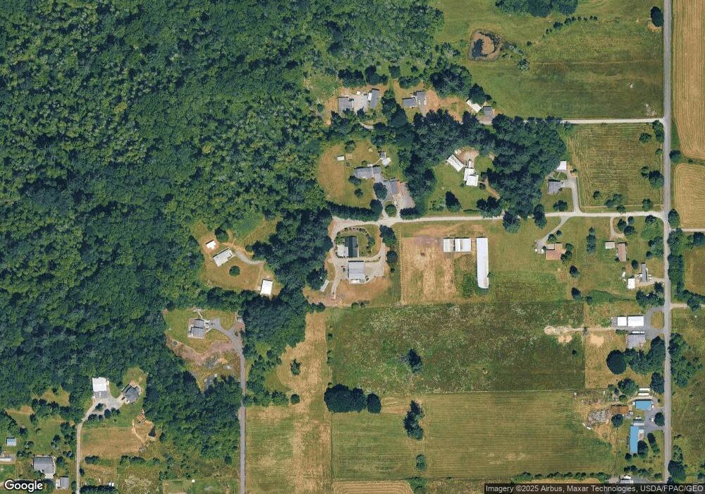
Map
Nearby Homes
- 28900 NE 112th Ave
- 11221 NE 279th St
- 11700 NE 279th St
- 27203 NE 103rd Ave
- 9827 NE 299th St
- 9701 NE 299th St
- 11007 NE Wilde Rd
- 0 NE 279th St Unit 717779825
- 0 NE 279th St Unit 24101609
- 0 NE 279th St Unit 24073819
- 0 NE 279th St Unit 24075001
- 29311 NE 124th Ave
- 28108 NE 82nd Ave
- 8110 NE 272nd Cir
- 31305 NE 95th Ave
- 9606 NE 255th Cir
- 11200 NE Gren Fels Dr
- 13706 NE River Bend Rd
- 26619 NE 77th Ave
- 30108 NE Mcbride Rd
- 10800 NE 285th St
- 10505 NE 285th St
- 11005 NE 285th St
- 10900 NE 285th St
- 10516 NE 279th St
- 11014 NE 285th St
- 10302 NE 279th St
- 10908 NE 279th St
- 28412 NE 112th Ave
- 28306 NE 112th Ave
- 10604 NE 279th St
- 10410 NE 279th St
- 28200 NE 112th Ave
- 28106 NE 112th Ave
- 10200 NE 279th St
- 10304 NE 279th St
- 10916 NE 279th St
- 28417 NE 112th Ave
- 29202 NE 112th Ave
- 11102 NE 279th St