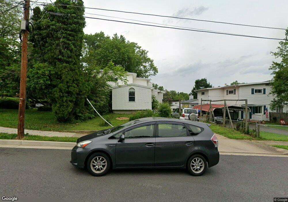
10708 Ashby Place Fairfax, VA 22030
Estimated Value: $523,000 - $638,644
3
Beds
2
Baths
2,096
Sq Ft
$273/Sq Ft
Est. Value
About This Home
This home is located at 10708 Ashby Place, Fairfax, VA 22030 and is currently estimated at $573,161, approximately $273 per square foot. 10708 Ashby Place is a home located in Fairfax City with nearby schools including Daniels Run Elementary School, Johnson Middle School, and Fairfax High.
Ownership History
Date
Name
Owned For
Owner Type
Purchase Details
Closed on
Jul 22, 2025
Sold by
Christensen Julie Ann
Bought by
Luke Tonia and Luke Margaret Legendre
Current Estimated Value
Home Financials for this Owner
Home Financials are based on the most recent Mortgage that was taken out on this home.
Original Mortgage
$409,000
Outstanding Balance
$408,306
Interest Rate
6.84%
Mortgage Type
Seller Take Back
Estimated Equity
$164,855
Create a Home Valuation Report for This Property
The Home Valuation Report is an in-depth analysis detailing your home's value as well as a comparison with similar homes in the area
Home Values in the Area
Average Home Value in this Area
Purchase History
| Date | Buyer | Sale Price | Title Company |
|---|---|---|---|
| Luke Tonia | $415,000 | First American Title | |
| Luke Tonia | $415,000 | First American Title |
Source: Public Records
Mortgage History
| Date | Status | Borrower | Loan Amount |
|---|---|---|---|
| Open | Luke Tonia | $409,000 | |
| Closed | Luke Tonia | $409,000 |
Source: Public Records
Tax History Compared to Growth
Tax History
| Year | Tax Paid | Tax Assessment Tax Assessment Total Assessment is a certain percentage of the fair market value that is determined by local assessors to be the total taxable value of land and additions on the property. | Land | Improvement |
|---|---|---|---|---|
| 2025 | $5,757 | $532,700 | $158,000 | $374,700 |
| 2024 | $4,984 | $483,900 | $143,600 | $340,300 |
| 2023 | $4,960 | $483,900 | $143,600 | $340,300 |
| 2022 | $4,651 | $460,500 | $136,700 | $323,800 |
| 2021 | $4,578 | $425,900 | $126,600 | $299,300 |
| 2020 | $4,398 | $409,100 | $121,700 | $287,400 |
| 2019 | $4,178 | $400,700 | $119,300 | $281,400 |
| 2018 | $4,048 | $381,900 | $113,600 | $268,300 |
| 2017 | $3,891 | $367,100 | $109,200 | $257,900 |
| 2016 | $1,990 | $374,800 | $109,200 | $265,600 |
| 2015 | -- | $359,900 | $100,700 | $259,200 |
| 2014 | -- | $333,500 | $93,200 | $240,300 |
Source: Public Records
Map
Nearby Homes
- 10634 Pocket Place
- 10632 Pocket Place
- 10723 West Dr Unit 103
- 10720 West Dr Unit 101
- 4081 Glendale Way
- 4222 Lamarre Dr
- 10816 Verde Vista Dr
- 10913 Byrd Dr
- 10702 Simpson Mews Ln
- 10465 Courtney Dr
- 10626 Regent Park Ct
- 4316 Chain Bridge Rd
- 10901 Santa Clara Dr
- 10570 Main St Unit 220
- 10719 Viognier Terrace
- 3951 Oak St
- 3968 Walnut St
- 10818 W 1st St
- 4403 Andes Dr
- 3954 Walnut St
- 10706 Ashby Place
- 10710 Ashby Place
- 10704 Ashby Place
- 10712 Ashby Place
- 10707 Maple St
- 10709 Maple St
- 10702 Ashby Place
- 10705 Maple St
- 10711 Maple St
- 10714 Ashby Place
- 10703 Maple St
- 4204 Allison Cir
- 10713 Maple St
- 4202 Allison Cir
- 10716 Ashby Place
- 10711 Ashby Place
- 10707 Ashby Place
- 10709 Ashby Place
- 10705 Ashby Place
- 10715 Maple St