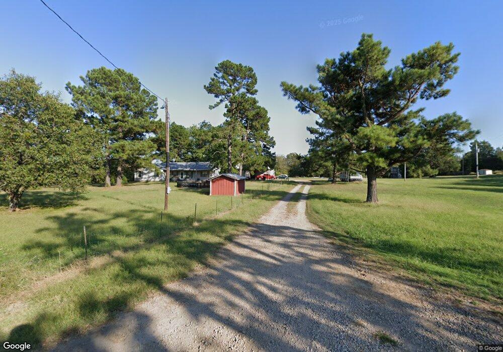
107081 S 4757 Rd Muldrow, OK 74948
Estimated Value: $184,000 - $312,000
3
Beds
1
Bath
1,430
Sq Ft
$176/Sq Ft
Est. Value
About This Home
This home is located at 107081 S 4757 Rd, Muldrow, OK 74948 and is currently estimated at $251,667, approximately $175 per square foot. 107081 S 4757 Rd is a home with nearby schools including Liberty Public School.
Ownership History
Date
Name
Owned For
Owner Type
Purchase Details
Closed on
Sep 9, 2005
Sold by
Morningstar E R and Morningstar Nina
Bought by
Freeman Adam O
Current Estimated Value
Home Financials for this Owner
Home Financials are based on the most recent Mortgage that was taken out on this home.
Original Mortgage
$117,161
Outstanding Balance
$62,484
Interest Rate
5.8%
Mortgage Type
FHA
Estimated Equity
$189,183
Purchase Details
Closed on
Apr 17, 2003
Sold by
Hall Norman and Hall Paula
Bought by
Morningstar Morningstar E and Morningstar R
Create a Home Valuation Report for This Property
The Home Valuation Report is an in-depth analysis detailing your home's value as well as a comparison with similar homes in the area
Home Values in the Area
Average Home Value in this Area
Purchase History
| Date | Buyer | Sale Price | Title Company |
|---|---|---|---|
| Freeman Adam O | $119,500 | None Available | |
| Morningstar Morningstar E | $88,000 | -- |
Source: Public Records
Mortgage History
| Date | Status | Borrower | Loan Amount |
|---|---|---|---|
| Open | Freeman Adam O | $117,161 |
Source: Public Records
Tax History Compared to Growth
Tax History
| Year | Tax Paid | Tax Assessment Tax Assessment Total Assessment is a certain percentage of the fair market value that is determined by local assessors to be the total taxable value of land and additions on the property. | Land | Improvement |
|---|---|---|---|---|
| 2024 | $1,004 | $14,552 | $4,124 | $10,428 |
| 2023 | $973 | $14,129 | $4,088 | $10,041 |
| 2022 | $913 | $13,717 | $4,038 | $9,679 |
| 2021 | $874 | $13,173 | $3,938 | $9,235 |
| 2020 | $858 | $12,958 | $3,938 | $9,020 |
| 2019 | $831 | $12,581 | $3,938 | $8,643 |
| 2018 | $805 | $12,214 | $3,938 | $8,276 |
| 2017 | $785 | $11,941 | $3,938 | $8,003 |
| 2016 | $793 | $12,045 | $3,938 | $8,107 |
| 2015 | $801 | $12,161 | $3,938 | $8,223 |
| 2014 | $872 | $13,145 | $1,650 | $11,495 |
Source: Public Records
Map
Nearby Homes
- 106438 S 4757 Rd
- 106219 S 4757 Rd
- 108714 S 4767 Rd
- 108892 S 4768 Rd
- 477053 E 1085 Rd
- 605 S 9th St
- TBD Tbd
- 104 Free Ferry
- 476120 E 1091 Rd
- 109365 S 4749 Rd
- 104660 S 4760 Rd
- 476967 E 1090 Rd
- 108962 Hummingbird Ln
- TBD S 4727 Rd
- 105629 S 4730 Rd
- TBD E 1045 Rd
- 0000 Cottonwood Rd
- 109483 S 4770 Rd
- TBD S 4769 Rd
- 104178 S 4769 Rd
- 475124 E 1070 Rd
- 107076 S 4757 Rd
- 106867 S 4757 Rd
- 107182 S 4757 Rd
- 475374 E 1072 Rd
- 107196 S 4757 Rd
- 107229 S 4757 Rd
- 475345 E 1072 Rd
- 107244 S 4757 Rd
- 107258 S 4757 Rd
- 475363 E 1070 Rd
- 107264 S 4757 Rd
- 106736 S 4757 Rd
- 106736 S 4757 Rd
- 106887 S 4763 Rd
- 106661 S 4757 Rd
- 107425 S 4757 Rd
- 107929 S 4819 Rd
- 106549 S 4757 Rd
- 107468 S 4757 Rd