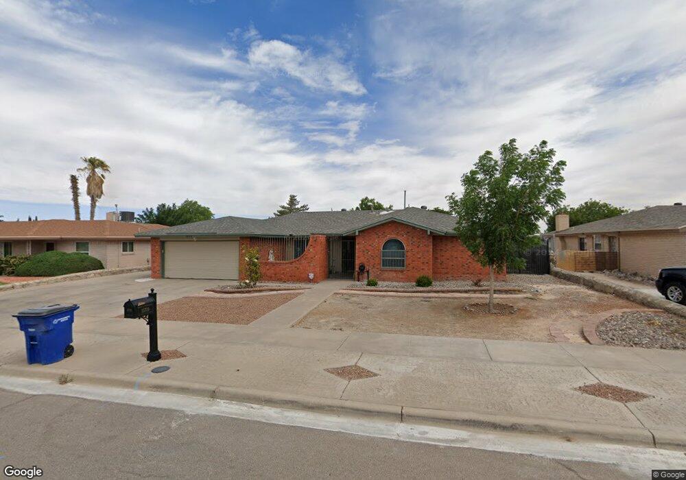
10709 Camaro Ct El Paso, TX 79935
Vista Del Sol NeighborhoodEstimated Value: $314,000 - $367,000
5
Beds
3
Baths
2,293
Sq Ft
$147/Sq Ft
Est. Value
About This Home
This home is located at 10709 Camaro Ct, El Paso, TX 79935 and is currently estimated at $337,222, approximately $147 per square foot. 10709 Camaro Ct is a home located in El Paso County with nearby schools including Vista Hills Elementary School, J M Hanks High School, and St. Raphael School.
Ownership History
Date
Name
Owned For
Owner Type
Purchase Details
Closed on
Mar 31, 2010
Sold by
Mcdonald Christopher J and Mcdonald Laura K
Bought by
Carbajal Eileen Claudia
Current Estimated Value
Home Financials for this Owner
Home Financials are based on the most recent Mortgage that was taken out on this home.
Original Mortgage
$211,105
Outstanding Balance
$144,041
Interest Rate
5.5%
Mortgage Type
FHA
Estimated Equity
$193,181
Purchase Details
Closed on
Nov 21, 1994
Sold by
Henderson Cathleen L
Bought by
Mcdonald Christopher J and Mcdonald Laura K
Home Financials for this Owner
Home Financials are based on the most recent Mortgage that was taken out on this home.
Original Mortgage
$110,650
Interest Rate
8.88%
Mortgage Type
Assumption
Create a Home Valuation Report for This Property
The Home Valuation Report is an in-depth analysis detailing your home's value as well as a comparison with similar homes in the area
Home Values in the Area
Average Home Value in this Area
Purchase History
| Date | Buyer | Sale Price | Title Company |
|---|---|---|---|
| Carbajal Eileen Claudia | -- | None Available | |
| Mcdonald Christopher J | -- | -- |
Source: Public Records
Mortgage History
| Date | Status | Borrower | Loan Amount |
|---|---|---|---|
| Open | Carbajal Eileen Claudia | $211,105 | |
| Previous Owner | Mcdonald Christopher J | $110,650 |
Source: Public Records
Tax History Compared to Growth
Tax History
| Year | Tax Paid | Tax Assessment Tax Assessment Total Assessment is a certain percentage of the fair market value that is determined by local assessors to be the total taxable value of land and additions on the property. | Land | Improvement |
|---|---|---|---|---|
| 2025 | $5,366 | $294,339 | -- | -- |
| 2024 | $5,366 | $267,581 | -- | -- |
| 2023 | $4,871 | $234,220 | $29,185 | $205,035 |
| 2022 | $6,722 | $216,462 | $0 | $0 |
| 2021 | $6,129 | $188,557 | $29,185 | $159,372 |
| 2020 | $5,512 | $174,503 | $29,185 | $145,318 |
| 2018 | $5,427 | $174,503 | $29,185 | $145,318 |
| 2017 | $5,117 | $167,417 | $29,185 | $138,232 |
| 2016 | $5,117 | $167,417 | $29,185 | $138,232 |
| 2015 | $4,376 | $167,417 | $29,185 | $138,232 |
| 2014 | $4,376 | $179,109 | $29,185 | $149,924 |
Source: Public Records
Map
Nearby Homes
- 1955 Trawood Dr Unit 12
- 2109 Febrero Dr
- 1909 Crow Dr
- 2105 Pacheco Dr
- 2000 Solano Dr
- 2153 Trawood Dr
- 1730 Bara Dr
- 2201 Trawood Dr
- 1644 Lomaland Dr Unit 169
- 2224 Escarpa Dr
- 1844 Jack Nicklaus Dr Unit 1846
- 1649 Lomaland Dr
- 10313 Byway Dr
- 2313 Frank Beard Dr
- 10233 Byway Dr
- 10304 Woodruff Ct
- 10309 Woodruff Ct
- 10533 Springwood Dr
- 10512 Album Ave
- 2705 Fierro Dr
- 10713 Camaro Ct
- 10707 Camaro Ct
- 10716 Alta Loma Dr
- 10712 Alta Loma Dr
- 10720 Alta Loma Dr
- 10717 Camaro Ct
- 10703 Camaro Ct
- 10708 Camaro Ct
- 10708 Alta Loma Dr
- 10712 Camaro Ct
- 10716 Camaro Ct
- 10700 Camaro Ct
- 10724 Alta Loma Dr
- 10704 Alta Loma Dr
- 10721 Camaro Ct
- 10701 Camaro Ct
- 10717 Alta Loma Dr
- 10713 Alta Loma Dr
- 10703 La Subida Dr
- 10720 Camaro Ct