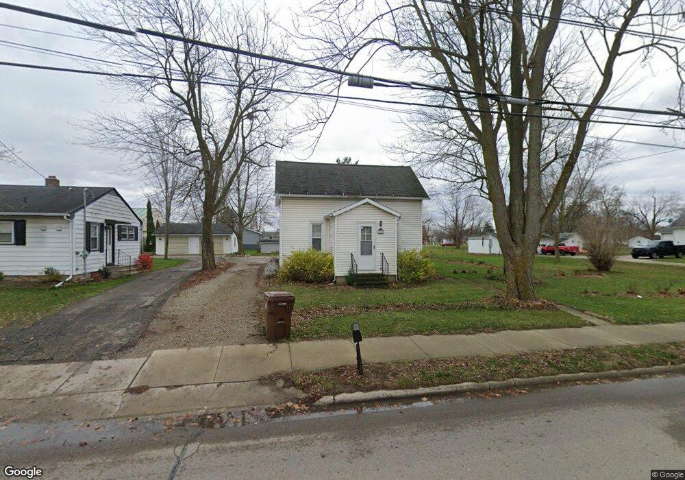
10709 E 2nd St Fowler, MI 48835
Estimated Value: $131,000 - $182,566
2
Beds
1
Bath
1,291
Sq Ft
$114/Sq Ft
Est. Value
About This Home
This home is located at 10709 E 2nd St, Fowler, MI 48835 and is currently estimated at $147,642, approximately $114 per square foot. 10709 E 2nd St is a home located in Clinton County with nearby schools including Waldron Elementary/Middle School, Fowler High School, and Most Holy Trinity School.
Ownership History
Date
Name
Owned For
Owner Type
Purchase Details
Closed on
Jul 11, 2025
Sold by
Wright Karen L
Bought by
Wright Karen L and Wright Monica L
Current Estimated Value
Purchase Details
Closed on
Oct 20, 2017
Sold by
Myers Robert L
Bought by
Myers Robert L and Robert L Myers Trust
Purchase Details
Closed on
May 24, 2013
Sold by
Myers Kenneth R and Myers Marci A
Bought by
Myers Kenneth Robert and Myers Marci Anne
Create a Home Valuation Report for This Property
The Home Valuation Report is an in-depth analysis detailing your home's value as well as a comparison with similar homes in the area
Purchase History
| Date | Buyer | Sale Price | Title Company |
|---|---|---|---|
| Wright Karen L | -- | None Listed On Document | |
| Myers Robert L | -- | Attorney | |
| Myers Robert L | $90,000 | Attorney | |
| Myers Kenneth Robert | -- | None Available |
Source: Public Records
Tax History
| Year | Tax Paid | Tax Assessment Tax Assessment Total Assessment is a certain percentage of the fair market value that is determined by local assessors to be the total taxable value of land and additions on the property. | Land | Improvement |
|---|---|---|---|---|
| 2025 | $1,085 | $70,100 | $31,400 | $38,700 |
| 2024 | $8 | $64,700 | $25,400 | $39,300 |
| 2023 | $753 | $58,500 | $0 | $0 |
| 2022 | $1,275 | $54,700 | $20,700 | $34,000 |
| 2021 | $1,247 | $51,500 | $19,900 | $31,600 |
| 2020 | $1,202 | $45,300 | $15,200 | $30,100 |
| 2019 | $1,013 | $42,400 | $13,000 | $29,400 |
| 2018 | $734 | $39,000 | $12,500 | $26,500 |
| 2017 | -- | $36,200 | $13,200 | $23,000 |
| 2016 | -- | $35,100 | $13,200 | $21,900 |
| 2015 | -- | $35,400 | $0 | $0 |
| 2011 | -- | $43,400 | $0 | $0 |
Source: Public Records
Map
Nearby Homes
- 11059 W M21
- 528 S Main St
- 11138 W 2nd St
- 11040 W Ionia St
- Lot 8 N Wright Rd
- 982 Norway Dr
- 12767 W M21
- 4740 S Francis Rd
- 0 Yates St
- 9515 W Moss Rd
- 5550 Paxton Rd
- 0 W Colony Unit 286993
- 0 W Colony Unit 292916
- 7240 Empire Rd
- 8150 Idared Rd
- 8095 Mcintosh Rd
- 132 E Washington St
- 129 E Main St
- 220 N Maple Ave
- TBD E Main St
Your Personal Tour Guide
Ask me questions while you tour the home.