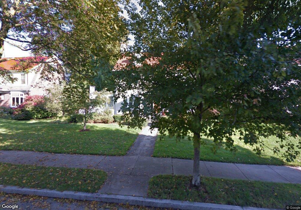
1071 Commonwealth Ave Newton Center, MA 02459
Newtonville NeighborhoodEstimated Value: $1,911,000 - $2,286,000
6
Beds
4
Baths
2,632
Sq Ft
$808/Sq Ft
Est. Value
About This Home
This home is located at 1071 Commonwealth Ave, Newton Center, MA 02459 and is currently estimated at $2,125,752, approximately $807 per square foot. 1071 Commonwealth Ave is a home located in Middlesex County with nearby schools including Cabot Elementary School, F.A. Day Middle School, and Newton North High School.
Ownership History
Date
Name
Owned For
Owner Type
Purchase Details
Closed on
Apr 30, 1993
Sold by
Brenner Leon O and Brenner Ruth G
Bought by
Finkelstein Mark J and Alkon Michelle S
Current Estimated Value
Home Financials for this Owner
Home Financials are based on the most recent Mortgage that was taken out on this home.
Original Mortgage
$287,500
Interest Rate
7.51%
Mortgage Type
Purchase Money Mortgage
Create a Home Valuation Report for This Property
The Home Valuation Report is an in-depth analysis detailing your home's value as well as a comparison with similar homes in the area
Home Values in the Area
Average Home Value in this Area
Purchase History
| Date | Buyer | Sale Price | Title Company |
|---|---|---|---|
| Finkelstein Mark J | $366,000 | -- |
Source: Public Records
Mortgage History
| Date | Status | Borrower | Loan Amount |
|---|---|---|---|
| Open | Finkelstein Mark J | $172,239 | |
| Closed | Finkelstein Mark J | $85,000 | |
| Closed | Finkelstein Mark J | $287,500 | |
| Previous Owner | Finkelstein Mark J | $100,000 |
Source: Public Records
Tax History Compared to Growth
Tax History
| Year | Tax Paid | Tax Assessment Tax Assessment Total Assessment is a certain percentage of the fair market value that is determined by local assessors to be the total taxable value of land and additions on the property. | Land | Improvement |
|---|---|---|---|---|
| 2025 | $17,708 | $1,806,900 | $1,177,300 | $629,600 |
| 2024 | $17,122 | $1,754,300 | $1,143,000 | $611,300 |
| 2023 | $16,424 | $1,613,400 | $869,200 | $744,200 |
| 2022 | $15,518 | $1,475,100 | $804,800 | $670,300 |
| 2021 | $14,974 | $1,391,600 | $759,200 | $632,400 |
| 2020 | $14,528 | $1,391,600 | $759,200 | $632,400 |
| 2019 | $14,119 | $1,351,100 | $737,100 | $614,000 |
| 2018 | $13,462 | $1,244,200 | $663,200 | $581,000 |
| 2017 | $13,053 | $1,173,800 | $625,700 | $548,100 |
| 2016 | $12,484 | $1,097,000 | $584,800 | $512,200 |
| 2015 | $11,903 | $1,025,200 | $546,500 | $478,700 |
Source: Public Records
Map
Nearby Homes
- 61 Lakeview Ave
- 308 Prince St
- 887 Commonwealth Ave
- 34 Morton Rd
- 54 Garland Rd
- 1114 Beacon St Unit 106
- 1114 Beacon St Unit 203
- 1114 Beacon St Unit 111
- 1114 Beacon St Unit 206
- 1114 Beacon St Unit 104
- 1114 Beacon St Unit 207
- 39 Valentine Park
- 26 Wilson Cir Unit 26
- 28 Wilson Cir Unit 28
- 32 Wilson Cir Unit 32
- 3 Cedar St
- Lots 2 & 3 Chapin Rd
- Lot 3 Chapin Rd
- Lot 2 Chapin Rd
- 956 Walnut St Unit 4
- 1075 Commonwealth Ave
- 1063 Commonwealth Ave
- 159 Beaumont Ave
- 1087 Commonwealth Ave
- 151 Beaumont Ave
- 540 Lowell Ave
- 540 Lowell Ave Unit 540
- 542 Lowell Ave
- 162 Beaumont Ave
- 73 Lakeview Ave
- 145 Beaumont Ave
- 536 Lowell Ave
- 536 Lowell Ave Unit 1
- 154 Beaumont Ave Unit :154
- 1095 Commonwealth Ave
- 146 Beaumont Ave
- 69 Lakeview Ave
- 530 Lowell Ave
- 530 Lowell Ave Unit 1
- 530 Lowell Ave