1071 Highway 128 Bismarck, AR 71929
Estimated Value: $152,396 - $492,000
--
Bed
2
Baths
1,392
Sq Ft
$204/Sq Ft
Est. Value
About This Home
This home is located at 1071 Highway 128, Bismarck, AR 71929 and is currently estimated at $284,465, approximately $204 per square foot. 1071 Highway 128 is a home located in Hot Spring County with nearby schools including Bismarck Elementary School, Bismarck Middle School, and Bismarck High School.
Ownership History
Date
Name
Owned For
Owner Type
Purchase Details
Closed on
Jan 28, 2022
Sold by
Matlock Larry and Matlock Sandra
Bought by
Matlock Larry and Matlock Sandra
Current Estimated Value
Purchase Details
Closed on
Nov 29, 2021
Sold by
Centerpoint Energy Resources Corp
Bought by
Summit Utilities Arkansas Inc
Purchase Details
Closed on
Apr 23, 2015
Sold by
Matlock Sandra and Matlock Larry
Bought by
Matlock Family Trust
Create a Home Valuation Report for This Property
The Home Valuation Report is an in-depth analysis detailing your home's value as well as a comparison with similar homes in the area
Home Values in the Area
Average Home Value in this Area
Purchase History
| Date | Buyer | Sale Price | Title Company |
|---|---|---|---|
| Matlock Larry | -- | None Listed On Document | |
| Matlock Larry | -- | None Listed On Document | |
| Summit Utilities Arkansas Inc | $518,616 | None Listed On Document | |
| Matlock Family Trust | -- | -- |
Source: Public Records
Tax History Compared to Growth
Tax History
| Year | Tax Paid | Tax Assessment Tax Assessment Total Assessment is a certain percentage of the fair market value that is determined by local assessors to be the total taxable value of land and additions on the property. | Land | Improvement |
|---|---|---|---|---|
| 2025 | $27 | $16,640 | $1,745 | $14,895 |
| 2024 | $27 | $16,640 | $1,745 | $14,895 |
| 2023 | $67 | $16,640 | $1,745 | $14,895 |
| 2022 | $118 | $16,640 | $1,745 | $14,895 |
| 2021 | $118 | $16,640 | $1,745 | $14,895 |
| 2020 | $122 | $16,420 | $2,380 | $14,040 |
| 2019 | $122 | $16,420 | $2,380 | $14,040 |
| 2018 | $147 | $16,420 | $2,380 | $14,040 |
| 2017 | $147 | $16,420 | $2,380 | $14,040 |
| 2016 | $497 | $9,905 | $1,780 | $8,125 |
| 2015 | $88 | $8,765 | $1,900 | $6,865 |
| 2014 | $88 | $8,765 | $1,900 | $6,865 |
Source: Public Records
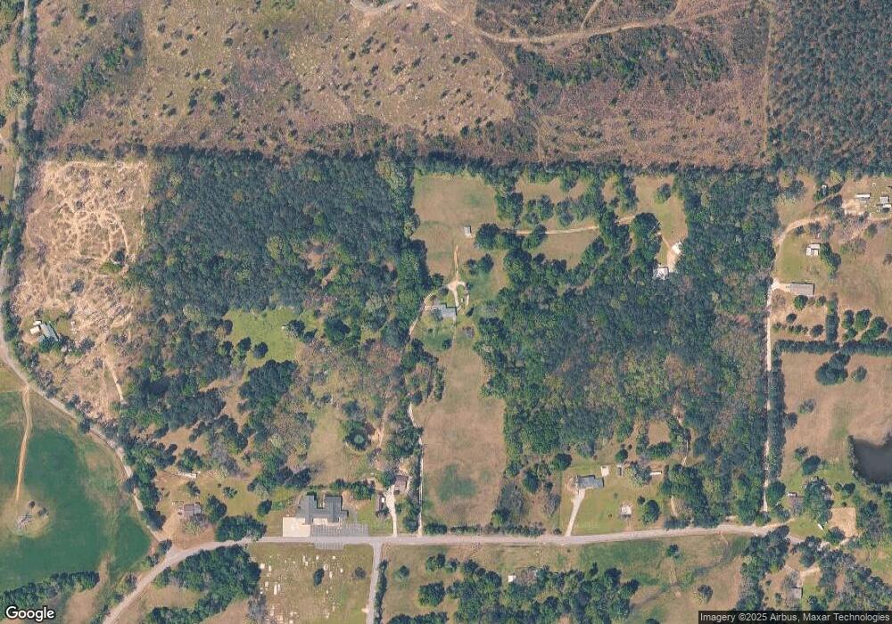
Map
Nearby Homes
- TBD Hardy Ln
- 0000 Laurel Rd
- 2570 Arkansas 7 Unit 2568 Highway 7
- 2570 Arkansas 7
- TBD Scottish Trail
- 3476 Edgewood Dr
- 549 Daniel Dr
- 2641 Arkansas 128
- 593 Fendley Rd
- 3277 Arkansas 128
- 0000 Ponderosa Trail
- 0000 Ponderosa Trail
- 4437 Highway 7 Unit 2078 Arlie Moore Roa
- 4437 Highway 7
- TBD Williams Cutoff Rd
- 3707 Highway 128
- 1893 Quapaw Rd
- 396 Judah Ln
- xx Pin Oak Dr
- 102 Owasso Trail
- 1003 Highway 128
- 1109 Highway 128
- 1104 Highway 128
- 136 Laurel Rd
- 1233 Highway 128
- 1281 Highway 128
- 1292 Highway 128
- 612 Laurel Rd
- 1313 Highway 128
- 0 Laurel Rd Unit 23015532
- 0 Laurel Rd Unit 16029485
- 0 Laurel Rd Unit 20035447
- 247 Laurel Rd
- 305 Laurel Rd
- 305 Laurel Rd
- 609 Laurel Rd
- 1114 Plum Dr
- 295 Laurel Rd
- 295 Laurel Rd
- 295 #1 Laurel Rd