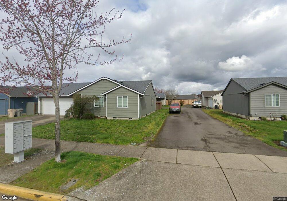
1071 Kees St Lebanon, OR 97355
Estimated Value: $349,000 - $354,147
3
Beds
2
Baths
1,124
Sq Ft
$313/Sq Ft
Est. Value
About This Home
This home is located at 1071 Kees St, Lebanon, OR 97355 and is currently estimated at $351,574, approximately $312 per square foot. 1071 Kees St is a home located in Linn County with nearby schools including Cascades School, Seven Oak Middle School, and Lebanon High School.
Ownership History
Date
Name
Owned For
Owner Type
Purchase Details
Closed on
Oct 10, 2006
Sold by
V V & G Llc
Bought by
Benson David and Benson Jeanette
Current Estimated Value
Home Financials for this Owner
Home Financials are based on the most recent Mortgage that was taken out on this home.
Original Mortgage
$27,980
Interest Rate
6.14%
Mortgage Type
Stand Alone Second
Create a Home Valuation Report for This Property
The Home Valuation Report is an in-depth analysis detailing your home's value as well as a comparison with similar homes in the area
Home Values in the Area
Average Home Value in this Area
Purchase History
| Date | Buyer | Sale Price | Title Company |
|---|---|---|---|
| Benson David | $139,900 | Ticor Title |
Source: Public Records
Mortgage History
| Date | Status | Borrower | Loan Amount |
|---|---|---|---|
| Closed | Benson David | $27,980 | |
| Open | Benson David | $111,920 |
Source: Public Records
Tax History Compared to Growth
Tax History
| Year | Tax Paid | Tax Assessment Tax Assessment Total Assessment is a certain percentage of the fair market value that is determined by local assessors to be the total taxable value of land and additions on the property. | Land | Improvement |
|---|---|---|---|---|
| 2024 | $3,170 | $150,850 | -- | -- |
| 2023 | $3,068 | $146,460 | $0 | $0 |
| 2022 | $3,003 | $142,200 | $0 | $0 |
| 2021 | $2,896 | $138,060 | $0 | $0 |
| 2020 | $2,860 | $134,040 | $0 | $0 |
| 2019 | $2,718 | $130,140 | $0 | $0 |
| 2018 | $2,697 | $126,350 | $0 | $0 |
| 2017 | $2,590 | $122,670 | $0 | $0 |
| 2016 | $2,353 | $119,100 | $0 | $0 |
| 2015 | $2,249 | $115,640 | $0 | $0 |
| 2014 | $2,185 | $112,280 | $0 | $0 |
Source: Public Records
Map
Nearby Homes
- 1989 S 12th St
- 951 Wassom St
- 2562 Promise Way
- 2574 Promise Way
- 2586 Promise Way
- 2598 Promise Way
- 2671 Stoltz Hill Rd
- 923 Walker Rd
- 841 Wassom St
- 930 Walker Rd
- 2690 Stoltz Hill Rd
- 0000 Airport Dr
- 2799 S 12th St
- 2634 S 7th St
- 745 Azalea St
- 1011 F St
- 590 Manor Way
- 560 Manor Way
- 2912 S 12th St
- 515 Angelee Ct