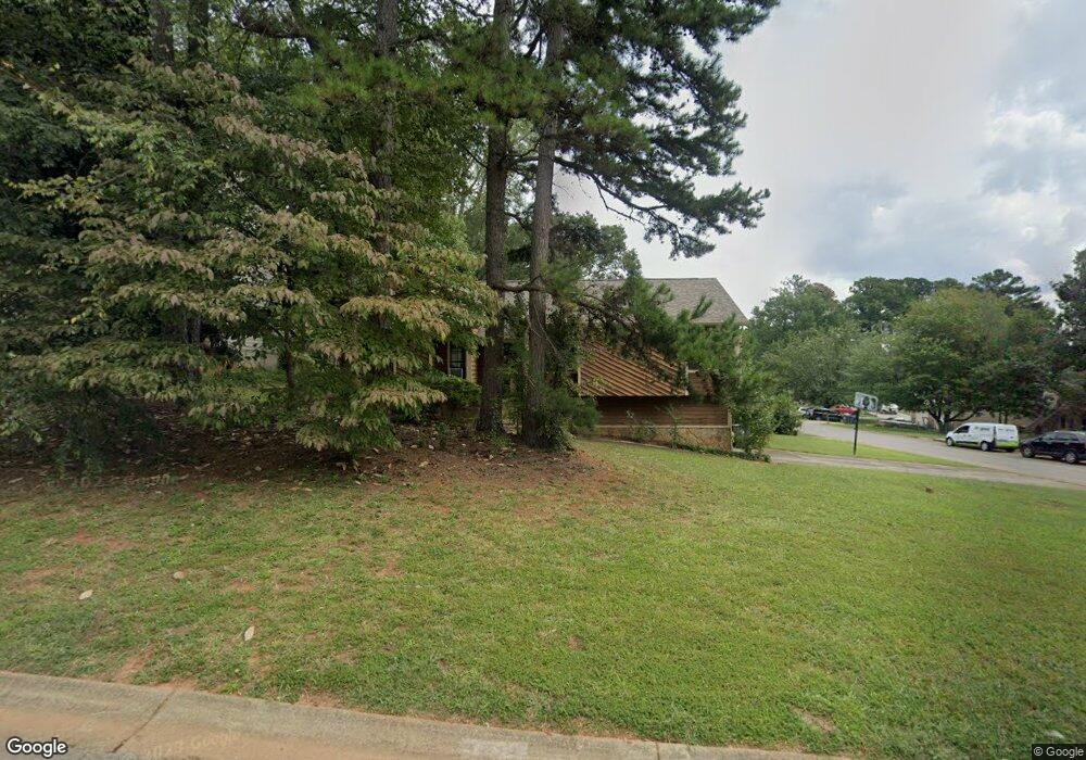
1071 Memory Ln Unit 3 Lawrenceville, GA 30044
Estimated Value: $306,849 - $358,000
3
Beds
3
Baths
1,556
Sq Ft
$207/Sq Ft
Est. Value
About This Home
This home is located at 1071 Memory Ln Unit 3, Lawrenceville, GA 30044 and is currently estimated at $322,462, approximately $207 per square foot. 1071 Memory Ln Unit 3 is a home located in Gwinnett County with nearby schools including Kanoheda Elementary School, Sweetwater Middle School, and Berkmar High School.
Ownership History
Date
Name
Owned For
Owner Type
Purchase Details
Closed on
Feb 15, 2007
Sold by
Campbell Thomas E
Bought by
Chavez Catherine M
Current Estimated Value
Home Financials for this Owner
Home Financials are based on the most recent Mortgage that was taken out on this home.
Original Mortgage
$145,048
Outstanding Balance
$86,046
Interest Rate
6.17%
Mortgage Type
FHA
Estimated Equity
$236,416
Purchase Details
Closed on
Jul 21, 1998
Sold by
Milum Guy Kevin and Milum Catherine
Bought by
Campbell Thomas E
Home Financials for this Owner
Home Financials are based on the most recent Mortgage that was taken out on this home.
Original Mortgage
$104,959
Interest Rate
6.96%
Mortgage Type
FHA
Create a Home Valuation Report for This Property
The Home Valuation Report is an in-depth analysis detailing your home's value as well as a comparison with similar homes in the area
Home Values in the Area
Average Home Value in this Area
Purchase History
| Date | Buyer | Sale Price | Title Company |
|---|---|---|---|
| Chavez Catherine M | $146,200 | -- | |
| Campbell Thomas E | $107,600 | -- |
Source: Public Records
Mortgage History
| Date | Status | Borrower | Loan Amount |
|---|---|---|---|
| Open | Chavez Catherine M | $145,048 | |
| Previous Owner | Campbell Thomas E | $104,959 |
Source: Public Records
Tax History
| Year | Tax Paid | Tax Assessment Tax Assessment Total Assessment is a certain percentage of the fair market value that is determined by local assessors to be the total taxable value of land and additions on the property. | Land | Improvement |
|---|---|---|---|---|
| 2025 | $3,309 | $120,040 | $21,600 | $98,440 |
| 2024 | $3,331 | $115,480 | $21,600 | $93,880 |
| 2023 | $3,331 | $113,440 | $23,200 | $90,240 |
| 2022 | $2,879 | $95,440 | $23,200 | $72,240 |
| 2021 | $2,399 | $70,680 | $14,640 | $56,040 |
| 2020 | $2,413 | $70,680 | $14,640 | $56,040 |
| 2019 | $2,233 | $65,480 | $14,640 | $50,840 |
| 2018 | $2,025 | $56,400 | $11,920 | $44,480 |
| 2016 | $1,764 | $48,320 | $10,400 | $37,920 |
| 2015 | $1,360 | $36,400 | $8,400 | $28,000 |
| 2014 | $1,366 | $36,400 | $8,400 | $28,000 |
Source: Public Records
Map
Nearby Homes
- 2619 Porter Dr
- 2688 Porter Dr
- 2856 Nuptial Ln Unit 1
- 1072 Casanova Ct
- 1114 Empire Cir
- 1281 Sweet Woods Dr
- 1301 Sweet Woods Dr
- 1321 Sweet Woods Dr
- 1020 Hampton Hill Ct
- 959 Briarleigh Ct
- 980 Hampton Hill Ct
- 2760 Amalfi Way
- 3131 Linden Dr
- 914 Wenham Ln
- 840 Melrose Park Place
- 2357 Whitworth St
- 1495 Lyon Way Dr
- 1210 Herrington Rd
- 841 Woods Ct
- 1280 Lyon Way Dr
- 2629 Porter Dr
- 1065 Memory Ln
- 1083 Memory Ln
- 1070 Memory Ln
- 2649 Porter Dr
- 2609 Porter Dr
- 1076 Memory Ln
- 1089 Memory Ln Unit 4
- 1059 Memory Ln
- 1064 Memory Ln Unit 3
- 1082 Memory Ln
- 2599 Porter Dr Unit 28
- 2599 Porter Dr Unit 2
- 2599 Porter Dr
- 2817 Nuptial Ln Unit 1
- 2817 Nuptial Ln
- 2659 Porter Dr
- 1058 Memory Ln
- 1095 Memory Ln
- 1088 Memory Ln
Your Personal Tour Guide
Ask me questions while you tour the home.