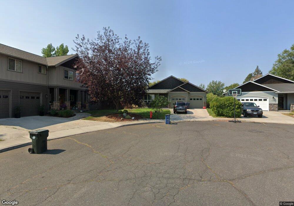
1071 NE Hobbs Ct Bend, OR 97701
Orchard District NeighborhoodEstimated Value: $653,000 - $747,000
3
Beds
2
Baths
1,808
Sq Ft
$385/Sq Ft
Est. Value
About This Home
This home is located at 1071 NE Hobbs Ct, Bend, OR 97701 and is currently estimated at $696,372, approximately $385 per square foot. 1071 NE Hobbs Ct is a home located in Deschutes County with nearby schools including Juniper Elementary School, Pilot Butte Middle School, and Bend Senior High School.
Ownership History
Date
Name
Owned For
Owner Type
Purchase Details
Closed on
Nov 3, 2005
Sold by
Glenco Investments Inc
Bought by
Murphey Catherine R
Current Estimated Value
Home Financials for this Owner
Home Financials are based on the most recent Mortgage that was taken out on this home.
Original Mortgage
$247,200
Outstanding Balance
$132,951
Interest Rate
5.74%
Mortgage Type
Unknown
Estimated Equity
$563,421
Purchase Details
Closed on
Aug 20, 2004
Sold by
Fraley Construction Inc
Bought by
Glenco Investments Inc
Create a Home Valuation Report for This Property
The Home Valuation Report is an in-depth analysis detailing your home's value as well as a comparison with similar homes in the area
Home Values in the Area
Average Home Value in this Area
Purchase History
| Date | Buyer | Sale Price | Title Company |
|---|---|---|---|
| Murphey Catherine R | $309,000 | Western Title & Escrow Co | |
| Glenco Investments Inc | -- | -- |
Source: Public Records
Mortgage History
| Date | Status | Borrower | Loan Amount |
|---|---|---|---|
| Open | Murphey Catherine R | $247,200 |
Source: Public Records
Tax History Compared to Growth
Tax History
| Year | Tax Paid | Tax Assessment Tax Assessment Total Assessment is a certain percentage of the fair market value that is determined by local assessors to be the total taxable value of land and additions on the property. | Land | Improvement |
|---|---|---|---|---|
| 2024 | $4,079 | $243,620 | -- | -- |
| 2023 | $3,781 | $236,530 | $0 | $0 |
| 2022 | $3,528 | $222,970 | $0 | $0 |
| 2021 | $3,534 | $216,480 | $0 | $0 |
| 2020 | $3,352 | $216,480 | $0 | $0 |
| 2019 | $3,259 | $210,180 | $0 | $0 |
| 2018 | $3,167 | $204,060 | $0 | $0 |
| 2017 | $3,074 | $198,120 | $0 | $0 |
| 2016 | $2,932 | $192,350 | $0 | $0 |
| 2015 | $2,850 | $186,750 | $0 | $0 |
| 2014 | $2,767 | $181,320 | $0 | $0 |
Source: Public Records
Map
Nearby Homes
- 1920 NE 8th St
- 2170 NE 8th St
- 1850 NE Berg Way
- 642 NE Seward Ave
- 1942 NE 6th St
- 1031 NE Penn Ave
- 1033 NE Bennington Way
- 2566 NE Keats Dr
- 532 NE Quimby Ave
- 424 NE Thurston Ave
- 980 NE Norton Ave Unit Lot 8
- 1622 NE Parkridge Dr
- 717 NE Olney Ct
- 2561 NE 6th St
- 2642 NE Keats Dr
- 2667 NE Jones Rd
- 2640 NE 8th St
- 1401 NE 10th St
- 3843 NE Petrosa Ave
- 1000 NE Butler Market Rd Unit 1
- 1077 NE Hobbs Ct
- 1072 NE Hobbs Ct
- 1078 NE Hobbs Ct
- 1083 NE Hobbs Ct
- 960 NE Jones Rd
- 2101 NE 11th Place
- 1084 NE Hobbs Ct
- 2095 NE 11th Place
- 1089 NE Hobbs Ct
- 2091 NE 11th Place
- 2105 NE 11th Place
- 880 NE Jones Rd
- 1090 NE Hobbs Ct
- 2087 NE 11th Place
- 2087 NE 11th Place
- 2100 NE 8th St
- 2109 NE 11th Place
- 850 NE Jones Rd
- 2002 NE 8th St
- 970 NE Jones Rd