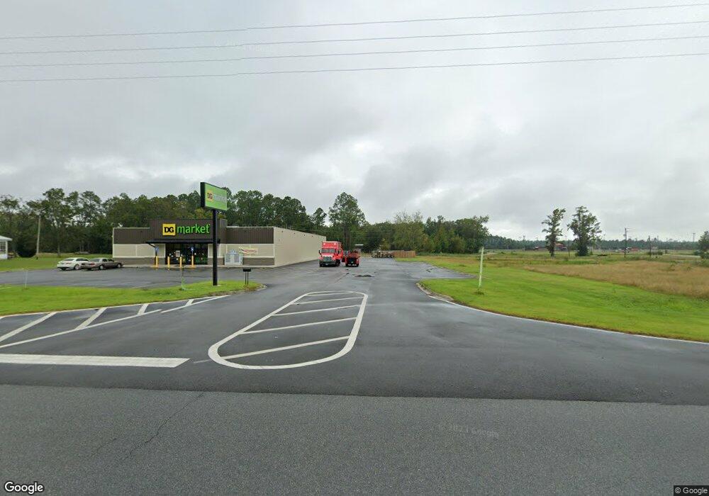
1071 Pearson Hwy Homerville, GA 31634
Estimated Value: $1,711,980
--
Bed
2
Baths
12,215
Sq Ft
$140/Sq Ft
Est. Value
About This Home
This home is located at 1071 Pearson Hwy, Homerville, GA 31634 and is currently estimated at $1,711,980, approximately $140 per square foot. 1071 Pearson Hwy is a home located in Clinch County with nearby schools including Clinch County Elementary School, Clinch County Middle School, and Clinch County High School.
Ownership History
Date
Name
Owned For
Owner Type
Purchase Details
Closed on
Sep 25, 2024
Sold by
Ns Retail Holdings Llc
Bought by
Toberman Denise R Tr and Toberman George J Tr
Current Estimated Value
Home Financials for this Owner
Home Financials are based on the most recent Mortgage that was taken out on this home.
Original Mortgage
$1,098,000
Outstanding Balance
$969,320
Interest Rate
6.35%
Mortgage Type
New Conventional
Estimated Equity
$742,660
Purchase Details
Closed on
Jun 21, 2023
Sold by
Teramore Development Llc
Bought by
Ns Retail Holdings Llc
Purchase Details
Closed on
Aug 26, 2014
Sold by
Smith Craig
Bought by
Smith Craig and Smith Melissa M
Create a Home Valuation Report for This Property
The Home Valuation Report is an in-depth analysis detailing your home's value as well as a comparison with similar homes in the area
Home Values in the Area
Average Home Value in this Area
Purchase History
| Date | Buyer | Sale Price | Title Company |
|---|---|---|---|
| Toberman Denise R Tr | $1,690,000 | -- | |
| Toberman Denise R Tr | $1,690,000 | -- | |
| Ns Retail Holdings Llc | $1,671,771 | -- | |
| Smith Craig | -- | -- |
Source: Public Records
Mortgage History
| Date | Status | Borrower | Loan Amount |
|---|---|---|---|
| Open | Toberman Denise R Tr | $1,098,000 | |
| Closed | Toberman Denise R Tr | $1,098,000 |
Source: Public Records
Tax History Compared to Growth
Tax History
| Year | Tax Paid | Tax Assessment Tax Assessment Total Assessment is a certain percentage of the fair market value that is determined by local assessors to be the total taxable value of land and additions on the property. | Land | Improvement |
|---|---|---|---|---|
| 2024 | $11,263 | $338,000 | $38,000 | $300,000 |
| 2023 | $1,266 | $38,000 | $38,000 | $0 |
| 2022 | $780 | $23,400 | $9,840 | $13,560 |
| 2021 | $780 | $23,400 | $9,840 | $13,560 |
| 2020 | $780 | $23,400 | $9,840 | $13,560 |
| 2019 | $780 | $23,400 | $9,840 | $13,560 |
| 2018 | $792 | $23,400 | $9,840 | $13,560 |
| 2017 | $792 | $23,400 | $9,840 | $13,560 |
| 2016 | $792 | $23,400 | $9,840 | $13,560 |
| 2015 | -- | $23,400 | $9,840 | $13,560 |
| 2014 | -- | $23,400 | $9,840 | $13,560 |
Source: Public Records
Map
Nearby Homes
- 59 Ann St
- 429 Holly Dr
- 0 Locklier Rd
- 314 Pine St
- 0 William St
- 222 E Elna St
- 1386 Carswell Street Extension
- 911 Woodlake Dr
- 1362 Carswell Street Extension
- 244 Courtland Ave
- 0 Us-441 S
- 0 U S 84 Unit 2 10563291
- 0 U S 84 Unit 1 10563254
- 0 U S 84 Unit 3 10563296
- 0 U S 84 Unit 4 10563302
- 102 McGlashin Dr
- 0 Fargo Hwy
- Highway 84
- Highway 84
- County Dirt Rd