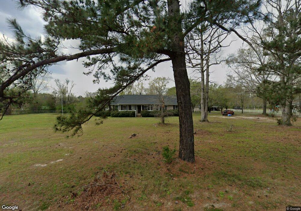
1071 Rocky Ln Conway, SC 29526
Estimated Value: $302,000 - $363,000
3
Beds
2
Baths
1,536
Sq Ft
$214/Sq Ft
Est. Value
About This Home
This home is located at 1071 Rocky Ln, Conway, SC 29526 and is currently estimated at $329,250, approximately $214 per square foot. 1071 Rocky Ln is a home located in Horry County with nearby schools including Homewood Elementary School, Whittemore Park Middle School, and Conway High School.
Ownership History
Date
Name
Owned For
Owner Type
Purchase Details
Closed on
Nov 3, 2004
Sold by
Oliver Howard G and Oliver Susan A
Bought by
Spain Susan Carter
Current Estimated Value
Home Financials for this Owner
Home Financials are based on the most recent Mortgage that was taken out on this home.
Original Mortgage
$150,000
Outstanding Balance
$74,805
Interest Rate
5.77%
Mortgage Type
Purchase Money Mortgage
Estimated Equity
$254,445
Purchase Details
Closed on
Feb 15, 2000
Sold by
Matthews Richard M and Matthews France
Bought by
Oliver Howard G and Oliver Susan A
Create a Home Valuation Report for This Property
The Home Valuation Report is an in-depth analysis detailing your home's value as well as a comparison with similar homes in the area
Home Values in the Area
Average Home Value in this Area
Purchase History
| Date | Buyer | Sale Price | Title Company |
|---|---|---|---|
| Spain Susan Carter | $228,000 | -- | |
| Oliver Howard G | $189,000 | -- |
Source: Public Records
Mortgage History
| Date | Status | Borrower | Loan Amount |
|---|---|---|---|
| Open | Spain Susan Carter | $150,000 |
Source: Public Records
Tax History Compared to Growth
Tax History
| Year | Tax Paid | Tax Assessment Tax Assessment Total Assessment is a certain percentage of the fair market value that is determined by local assessors to be the total taxable value of land and additions on the property. | Land | Improvement |
|---|---|---|---|---|
| 2024 | $887 | $18,898 | $5,700 | $13,198 |
| 2023 | $887 | $7,544 | $1,155 | $6,389 |
| 2021 | $803 | $24,287 | $4,253 | $20,034 |
| 2020 | $700 | $24,287 | $4,253 | $20,034 |
| 2019 | $700 | $24,287 | $4,253 | $20,034 |
| 2018 | $632 | $17,221 | $2,636 | $14,585 |
| 2017 | $536 | $13,195 | $1,004 | $12,191 |
| 2016 | -- | $13,195 | $1,004 | $12,191 |
| 2015 | $536 | $5,648 | $1,004 | $4,644 |
| 2014 | $495 | $5,648 | $1,004 | $4,644 |
Source: Public Records
Map
Nearby Homes
- 304 Canyon Dr
- 224 Sundrop Way
- 312 Garden Grove St
- 235 Sundrop Way Unit Lot 215
- 324 Garden Grove St Unit Lot 212
- 328 Garden Grove St
- 311 Garden Grove St
- 315 Garden Grove St
- 331 Garden Grove St
- 411 Atamasco Ct
- 345 Garden Grove St
- 350 Garden Grove St
- 357 Garden Grove St
- 362 Garden Grove St
- 366 Garden Grove St
- 370 Garden Grove St
- 365 Garden Grove St
- 379 Garden Grove St
- 1330 Four Mile Rd
- 728 Four Mile Rd
- 1059 Four Mile Rd
- 1095 Four Mile Rd
- 1105 Four Mile Rd
- 3 Silver Peak Dr
- 1065 Four Mile Rd
- 100 Silver Peak Dr
- 107 Silver Peak Dr
- 205 Apex Dr
- 10 Silver Peak Dr
- 8 Silver Peak Dr
- 2 Silver Peak Dr
- 101 Silver Peak Dr
- 1115 Four Mile Rd
- 40 Silver Peak Dr
- 38 Silver Peak Dr
- Lot 54 Apex Dr
- 213 Apex Dr
- 108 Silver Peak Dr
- 115 Silver Peak Dr
- 206 Apex Dr