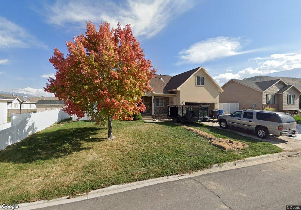
1071 S 350 E Unit 40 Payson, UT 84651
Estimated Value: $572,000 - $600,000
5
Beds
4
Baths
2,194
Sq Ft
$268/Sq Ft
Est. Value
About This Home
This home is located at 1071 S 350 E Unit 40, Payson, UT 84651 and is currently estimated at $588,492, approximately $268 per square foot. 1071 S 350 E Unit 40 is a home located in Utah County with nearby schools including Park View Elementary, Payson High School, and Payson Junior High School.
Ownership History
Date
Name
Owned For
Owner Type
Purchase Details
Closed on
May 14, 2025
Sold by
Srinivasan Parthasarathy
Bought by
Parthasarathy Srinivasan And Rupa Umesh Livin and Srinivasan
Current Estimated Value
Purchase Details
Closed on
Jun 21, 2022
Sold by
Nelson Derek R
Bought by
Muhlestein Robert Blair and Muhlestein Lisa Soffe
Home Financials for this Owner
Home Financials are based on the most recent Mortgage that was taken out on this home.
Original Mortgage
$484,000
Interest Rate
5.1%
Mortgage Type
New Conventional
Purchase Details
Closed on
Jan 14, 2008
Sold by
Griep John D
Bought by
Nelson Derek R and Nelson Ofelia S
Home Financials for this Owner
Home Financials are based on the most recent Mortgage that was taken out on this home.
Original Mortgage
$248,710
Interest Rate
6.07%
Mortgage Type
Purchase Money Mortgage
Purchase Details
Closed on
Nov 21, 2005
Sold by
Infanger Christopher and Infanger Jenny Lamb
Bought by
Griep John D
Home Financials for this Owner
Home Financials are based on the most recent Mortgage that was taken out on this home.
Original Mortgage
$217,455
Interest Rate
5.97%
Mortgage Type
Fannie Mae Freddie Mac
Purchase Details
Closed on
Jun 15, 2004
Sold by
Georgetown Development Inc
Bought by
Infanger Christopher and Infanger Jenny Lamb
Create a Home Valuation Report for This Property
The Home Valuation Report is an in-depth analysis detailing your home's value as well as a comparison with similar homes in the area
Home Values in the Area
Average Home Value in this Area
Purchase History
| Date | Buyer | Sale Price | Title Company |
|---|---|---|---|
| Parthasarathy Srinivasan And Rupa Umesh Livin | -- | None Listed On Document | |
| Muhlestein Robert Blair | -- | Juab Title & Abstract | |
| Nelson Derek R | -- | Equity Title Insurance Agen | |
| Griep John D | -- | Equity Title | |
| Infanger Christopher | -- | First American Title Agency |
Source: Public Records
Mortgage History
| Date | Status | Borrower | Loan Amount |
|---|---|---|---|
| Previous Owner | Muhlestein Robert Blair | $484,000 | |
| Previous Owner | Nelson Derek R | $248,710 | |
| Previous Owner | Griep John D | $217,455 |
Source: Public Records
Tax History
| Year | Tax Paid | Tax Assessment Tax Assessment Total Assessment is a certain percentage of the fair market value that is determined by local assessors to be the total taxable value of land and additions on the property. | Land | Improvement |
|---|---|---|---|---|
| 2025 | $2,656 | $284,240 | -- | -- |
| 2024 | $2,656 | $270,325 | $0 | $0 |
| 2023 | $2,692 | $274,725 | $0 | $0 |
| 2022 | $2,786 | $279,675 | $0 | $0 |
| 2021 | $2,353 | $378,800 | $106,800 | $272,000 |
| 2020 | $2,234 | $351,800 | $97,100 | $254,700 |
| 2019 | $2,151 | $347,300 | $92,600 | $254,700 |
| 2018 | $1,946 | $302,800 | $79,700 | $223,100 |
| 2017 | $1,758 | $147,180 | $0 | $0 |
| 2016 | $1,593 | $132,440 | $0 | $0 |
| 2015 | $1,405 | $116,050 | $0 | $0 |
| 2014 | $1,209 | $100,540 | $0 | $0 |
Source: Public Records
Map
Nearby Homes
- 288 E 900 S
- 876 Greenridge Ave
- 582 E 1250 S Unit 137
- 736 S 500 E
- 252 E 670 S Unit 2
- 229 E 670 S Unit 7
- 420 E 600 S
- 88 W 700 S
- 544 S 500 E
- 549 S Main St
- 551 E 500 S
- 1836 S 100 E
- 900 S Goosenest Dr
- 412 S Goosenest Dr
- 426 S Goosenest Dr
- 627 W 1100 S
- 252 S 400 E
- 753 N Emery Ln Unit 57
- 678 N Mountain View Dr
- 552 E Longview Dr Unit 29
- 1071 S 350 E
- 1087 S 350 E
- 1087 S 350 E Unit 39
- 1051 S 350 E
- 1051 S 350 E Unit 30
- 372 E 1050 S
- 372 E 1050 S Unit 31
- 1072 Greenridge Ave
- 1072 Greenridge Ave Unit 33
- 1091 S 350 E
- 1091 S 350 E Unit 38
- 1086 Greenridge Ave
- 1054 Greenridge Ave
- 1054 Greenridge Ave Unit 32
- 1074 S 350 E
- 1074 S 350 E Unit 26
- 1088 S 350 E
- 1088 S 350 E Unit 24
- 1052 S 350 E Unit 28
- 1094 Greenridge Ave
Your Personal Tour Guide
Ask me questions while you tour the home.