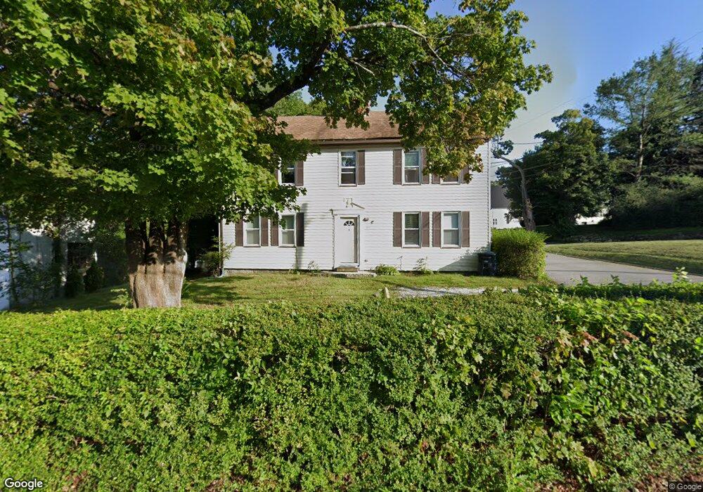
1071 Stafford St Rochdale, MA 01542
Estimated Value: $434,808 - $519,000
5
Beds
2
Baths
3,192
Sq Ft
$146/Sq Ft
Est. Value
About This Home
This home is located at 1071 Stafford St, Rochdale, MA 01542 and is currently estimated at $467,452, approximately $146 per square foot. 1071 Stafford St is a home located in Worcester County with nearby schools including Leicester Integrated Preschool, Leicester Memorial Elementary School, and Leicester Middle School.
Ownership History
Date
Name
Owned For
Owner Type
Purchase Details
Closed on
Dec 4, 1984
Bought by
Saunders Michael P and Saunders Rebecca M
Current Estimated Value
Create a Home Valuation Report for This Property
The Home Valuation Report is an in-depth analysis detailing your home's value as well as a comparison with similar homes in the area
Home Values in the Area
Average Home Value in this Area
Purchase History
| Date | Buyer | Sale Price | Title Company |
|---|---|---|---|
| Saunders Michael P | -- | -- |
Source: Public Records
Mortgage History
| Date | Status | Borrower | Loan Amount |
|---|---|---|---|
| Closed | Saunders Michael P | $65,000 | |
| Closed | Saunders Michael P | $10,000 |
Source: Public Records
Tax History Compared to Growth
Tax History
| Year | Tax Paid | Tax Assessment Tax Assessment Total Assessment is a certain percentage of the fair market value that is determined by local assessors to be the total taxable value of land and additions on the property. | Land | Improvement |
|---|---|---|---|---|
| 2025 | $44 | $372,200 | $65,800 | $306,400 |
| 2024 | $4,200 | $334,700 | $56,800 | $277,900 |
| 2023 | $3,980 | $309,500 | $56,800 | $252,700 |
| 2022 | $3,830 | $273,800 | $54,000 | $219,800 |
| 2021 | $3,988 | $263,600 | $54,000 | $209,600 |
| 2020 | $3,698 | $248,000 | $47,500 | $200,500 |
| 2019 | $3,548 | $235,300 | $42,800 | $192,500 |
| 2018 | $3,382 | $210,200 | $42,800 | $167,400 |
| 2017 | $3,234 | $208,900 | $42,800 | $166,100 |
| 2016 | $3,116 | $209,100 | $53,400 | $155,700 |
| 2015 | $3,040 | $209,100 | $53,400 | $155,700 |
Source: Public Records
Map
Nearby Homes
- 1098 Stafford St Unit 9
- 620 Henshaw St
- 748-A Stafford St
- 747-749 Pleasant St
- 6 Ryans Way Unit 6
- 19 Virginia Dr Unit 19
- 66 Pleasant St Unit 16
- 2 Wendy Place
- 102 River St
- 3 Edward St Unit 3
- 75 Huntoon Memorial Hwy Unit 1-2
- 10 Edward St
- 20 Leela Ln
- 27 W Applewood Dr
- 3 Michelle Ln
- 6 Brickyard Rd
- Lot 3 Smith Rd
- Lot 5 Smith Rd
- Lot 4 Smith Rd
- 2 Victor Ave
- 1072 Stafford St Unit 1074
- 1085 Stafford St
- 13 Forest St
- 57 Forest St
- 4 Golden Rd
- 0 Stafford St Unit 70688400
- 0 Stafford St Unit 70634191
- 1087 Stafford St
- 1-3 Foster St
- 1090 Stafford St
- 3 Christian Way
- 1092 Stafford St
- Zero Stafford St
- 24 Dale Ct
- 2 Dale Ct Unit 2
- 2 Dale Ct Unit 4
- 2 Dale Ct
- 15 Dale Ct
- 1-5 Dale Ct
- 3 Dale Ct Unit 3