1071 State Highway 59 Carthage, MO 64836
Estimated Value: $114,861 - $258,000
--
Bed
--
Bath
1,512
Sq Ft
$129/Sq Ft
Est. Value
About This Home
This home is located at 1071 State Highway 59, Carthage, MO 64836 and is currently estimated at $195,465, approximately $129 per square foot. 1071 State Highway 59 is a home with nearby schools including Carthage High School.
Ownership History
Date
Name
Owned For
Owner Type
Purchase Details
Closed on
Nov 21, 2018
Sold by
Gunn Gregory
Bought by
Jensen Jason and Jensen Robyn
Current Estimated Value
Home Financials for this Owner
Home Financials are based on the most recent Mortgage that was taken out on this home.
Original Mortgage
$75,000
Outstanding Balance
$65,407
Interest Rate
4.8%
Mortgage Type
Unknown
Estimated Equity
$130,058
Purchase Details
Closed on
Mar 20, 2014
Sold by
Jensen Robyn M and Jensen Jason
Bought by
Gunn Gregory
Home Financials for this Owner
Home Financials are based on the most recent Mortgage that was taken out on this home.
Original Mortgage
$51,317
Interest Rate
4.27%
Mortgage Type
Future Advance Clause Open End Mortgage
Create a Home Valuation Report for This Property
The Home Valuation Report is an in-depth analysis detailing your home's value as well as a comparison with similar homes in the area
Home Values in the Area
Average Home Value in this Area
Purchase History
| Date | Buyer | Sale Price | Title Company |
|---|---|---|---|
| Jensen Jason | -- | -- | |
| Gunn Gregory | -- | None Available |
Source: Public Records
Mortgage History
| Date | Status | Borrower | Loan Amount |
|---|---|---|---|
| Open | Jensen Jason | $75,000 | |
| Previous Owner | Gunn Gregory | $51,317 |
Source: Public Records
Tax History Compared to Growth
Tax History
| Year | Tax Paid | Tax Assessment Tax Assessment Total Assessment is a certain percentage of the fair market value that is determined by local assessors to be the total taxable value of land and additions on the property. | Land | Improvement |
|---|---|---|---|---|
| 2024 | $452 | $9,720 | $2,270 | $7,450 |
| 2023 | $452 | $9,720 | $2,270 | $7,450 |
| 2022 | $475 | $10,270 | $2,270 | $8,000 |
| 2021 | $470 | $10,270 | $2,270 | $8,000 |
| 2020 | $416 | $8,730 | $2,270 | $6,460 |
| 2019 | $417 | $8,730 | $2,270 | $6,460 |
| 2018 | $436 | $9,140 | $0 | $0 |
| 2017 | $437 | $9,140 | $0 | $0 |
| 2016 | $479 | $10,040 | $0 | $0 |
| 2015 | $437 | $10,040 | $0 | $0 |
| 2014 | $437 | $10,040 | $0 | $0 |
Source: Public Records
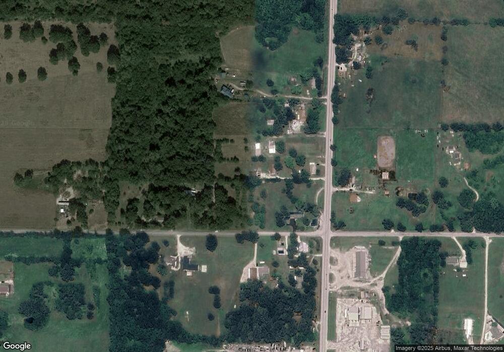
Map
Nearby Homes
- 1612 County Road 150
- TBD 7 04 Acres Cimarron Rd
- 1519 County Road 130
- 612 County Road 130
- 975 W 60th St
- 1631 County Road 120
- 20803xxx Aspen Rd
- 4955 Deer Run Loop
- 4948 Deer Run Loop
- 0 Aspen Rd
- Tbd Aspen Rd
- 5000 S Chapel Rd
- 12078 Cedar Rd
- 560 County Road 170
- 000 Aspen Rd
- 3951 County Lane 119
- 11884 Destination Ln
- Tract 1 Highway Ff
- Tract 1-2 Highway Ff
- Tract 2 Highway Ff
- 1085 State Highway 59
- 1009 State Highway 59
- 1145 State Highway 59
- 14102 Apple Rd
- 1056 State Highway 59
- 14042 Apple Rd
- 14089 Apple Rd
- 14225 Apple Rd
- 1191 State Highway 59
- 14236 Apple Rd
- 907 State Highway 59
- 1206 State Highway 59
- 14264 Apple
- 13800 Apple Rd
- 13865 Apple Rd
- 825 Missouri 59
- 14327 Apple Rd
- Tbd Highway Hh N 25
- 14490 Apple Rd
- 13791 Apple Rd