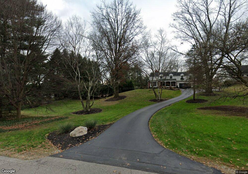
1071 Thorne Ave Wooster, OH 44691
Estimated Value: $165,000 - $259,000
--
Bed
--
Bath
--
Sq Ft
0.78
Acres
About This Home
This home is located at 1071 Thorne Ave, Wooster, OH 44691 and is currently estimated at $212,000. 1071 Thorne Ave is a home located in Wayne County with nearby schools including Melrose Elementary School, Edgewood Middle School, and Wooster High School.
Ownership History
Date
Name
Owned For
Owner Type
Purchase Details
Closed on
Jul 15, 2014
Sold by
Mathur Susan B and Mathur Arun K
Bought by
Scott Bryan Michael and Bryan Michael Scott Revocable Trust
Current Estimated Value
Home Financials for this Owner
Home Financials are based on the most recent Mortgage that was taken out on this home.
Original Mortgage
$285,000
Outstanding Balance
$216,922
Interest Rate
4.14%
Mortgage Type
New Conventional
Estimated Equity
-$4,922
Purchase Details
Closed on
Jan 1, 1987
Bought by
Mathur Susan B
Create a Home Valuation Report for This Property
The Home Valuation Report is an in-depth analysis detailing your home's value as well as a comparison with similar homes in the area
Home Values in the Area
Average Home Value in this Area
Purchase History
| Date | Buyer | Sale Price | Title Company |
|---|---|---|---|
| Scott Bryan Michael | $307,500 | Wayne County Title | |
| Mathur Susan B | -- | -- |
Source: Public Records
Mortgage History
| Date | Status | Borrower | Loan Amount |
|---|---|---|---|
| Open | Scott Bryan Michael | $285,000 |
Source: Public Records
Tax History Compared to Growth
Tax History
| Year | Tax Paid | Tax Assessment Tax Assessment Total Assessment is a certain percentage of the fair market value that is determined by local assessors to be the total taxable value of land and additions on the property. | Land | Improvement |
|---|---|---|---|---|
| 2024 | $862 | $19,290 | $14,730 | $4,560 |
| 2023 | $821 | $19,290 | $14,730 | $4,560 |
| 2022 | $778 | $14,620 | $11,160 | $3,460 |
| 2021 | $802 | $14,620 | $11,160 | $3,460 |
| 2020 | $762 | $14,620 | $11,160 | $3,460 |
| 2019 | $719 | $13,240 | $10,380 | $2,860 |
| 2018 | $721 | $13,240 | $10,380 | $2,860 |
| 2017 | $718 | $13,240 | $10,380 | $2,860 |
| 2016 | $750 | $12,730 | $9,980 | $2,750 |
| 2015 | $743 | $12,730 | $9,980 | $2,750 |
| 2014 | -- | $12,730 | $9,980 | $2,750 |
| 2013 | $948 | $16,020 | $13,450 | $2,570 |
Source: Public Records
Map
Nearby Homes
- 1104 Hedgecliff Dr
- 846 Thorne Ave
- 1238 Kieffer St
- 1665 Sandalwood Dr
- 1507 Bellevue Dr
- 1530 Willoughby Dr
- 728 Portage Rd
- 1029 E University St
- 1661 Lemar Dr
- 2208 Cleveland Rd
- 317 Ihrig Ave
- 804 Belmont Ave
- 751 Greenwood Blvd
- 733 Spink St
- 2206 Graustark Path
- 211 Oakley Rd
- 652 Gasche St
- 1123 Quinby Ave
- 1117 Quinby Ave
- 548 Spring St
- 1071 Thorne Ave
- 1065 Thorne Ave
- 933 Thorne Ave
- 932 Kieffer St
- 1070 Thorne Ave
- 1084 Thorne Ave
- 1629 Sandifer St
- 1593 Hawthorne St
- 923 Thorne Ave
- 1560 Renwood St
- 1118 Kieffer St
- 1575 Bellevue Dr
- 1579 Hawthorne St
- 920 Thorne Ave
- 1598 Bellevue Dr
- 905 Thorne Ave
- 1552 Renwood St
- 912 Kieffer St
- 1100 Thorne Ave
- 1572 Hawthorne St