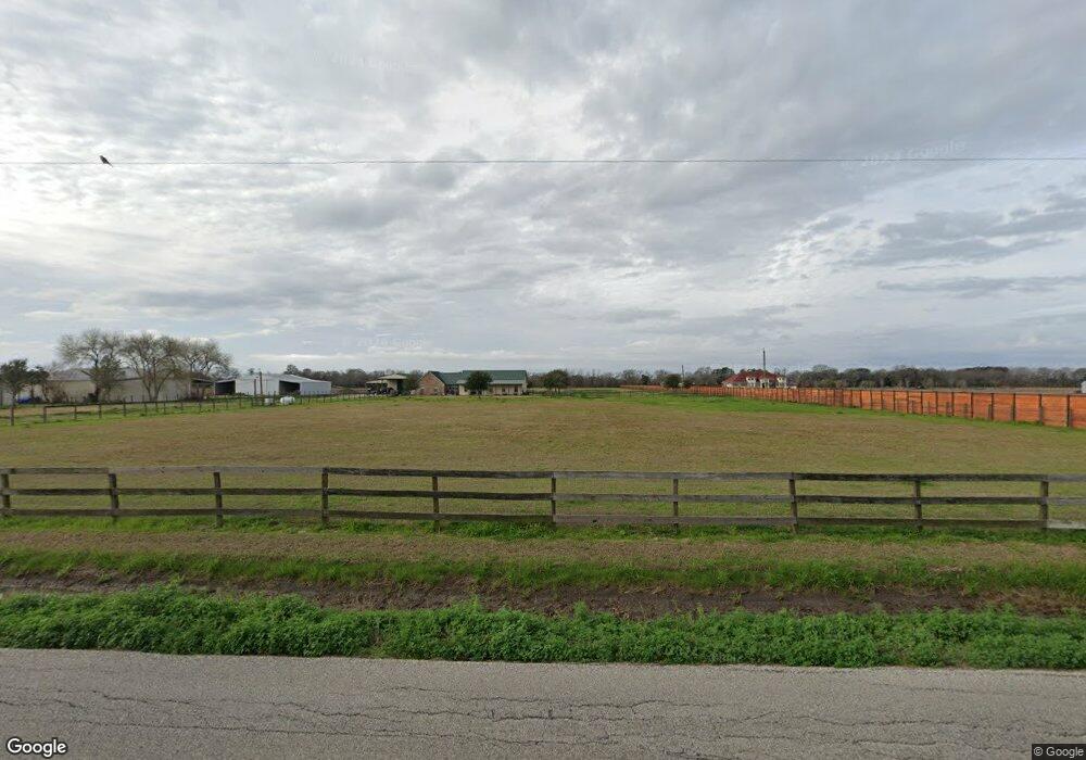
10710 Padon Rd Needville, TX 77461
Estimated Value: $412,611 - $573,000
3
Beds
2
Baths
1,934
Sq Ft
$256/Sq Ft
Est. Value
About This Home
This home is located at 10710 Padon Rd, Needville, TX 77461 and is currently estimated at $494,403, approximately $255 per square foot. 10710 Padon Rd is a home located in Fort Bend County with nearby schools including Needville Elementary School, Needville Middle School, and Needville Junior High School.
Ownership History
Date
Name
Owned For
Owner Type
Purchase Details
Closed on
May 11, 2012
Sold by
Us Bank Na Trustee
Bought by
Fink David E and Fink Carolyn E
Current Estimated Value
Purchase Details
Closed on
Jan 3, 2012
Sold by
Rapp Donald E and Rapp Miranda
Bought by
Us Bank National Association
Purchase Details
Closed on
May 26, 2006
Sold by
Rapp Donald E and Rapp Miranda
Bought by
Fink David E and Fink Carolyn E
Create a Home Valuation Report for This Property
The Home Valuation Report is an in-depth analysis detailing your home's value as well as a comparison with similar homes in the area
Home Values in the Area
Average Home Value in this Area
Purchase History
| Date | Buyer | Sale Price | Title Company |
|---|---|---|---|
| Fink David E | -- | -- | |
| Us Bank National Association | $191,250 | None Available | |
| Fink David E | -- | -- | |
| Fink David E | -- | -- |
Source: Public Records
Tax History Compared to Growth
Tax History
| Year | Tax Paid | Tax Assessment Tax Assessment Total Assessment is a certain percentage of the fair market value that is determined by local assessors to be the total taxable value of land and additions on the property. | Land | Improvement |
|---|---|---|---|---|
| 2025 | $5,668 | $423,916 | $53,023 | $375,150 |
| 2024 | $5,668 | $375,560 | -- | $378,282 |
| 2023 | $5,068 | $341,418 | $11,103 | $330,315 |
| 2022 | $5,329 | $310,380 | $5,040 | $305,340 |
| 2021 | $5,349 | $282,160 | $21,060 | $261,100 |
| 2020 | $5,185 | $256,510 | $21,060 | $235,450 |
| 2019 | $4,614 | $214,920 | $21,060 | $193,860 |
| 2018 | $4,190 | $195,380 | $18,520 | $176,860 |
| 2017 | $4,348 | $202,120 | $15,010 | $187,110 |
| 2016 | $4,276 | $198,770 | $11,640 | $187,130 |
| 2015 | $3,403 | $181,460 | $12,700 | $168,760 |
| 2014 | $3,261 | $164,960 | $12,700 | $152,260 |
Source: Public Records
Map
Nearby Homes
- 10853 Padon Rd
- 10507 Padon Rd
- 11019 Water Tower Dr
- 11814 Roesler Rd
- 11310 Audrey Dr
- 14935 Highway 36
- 10202 Harry Dr
- 11203 Leah Elizabeth Dr
- 11834 Bisonte St
- 11810 Bisonte St
- 11702 Bisonte St
- 11102 Aaron Way
- Creede Plan at Harvest Pointe
- San Marcos Plan at Harvest Pointe
- Aquila Plan at Harvest Pointe
- Boise Plan at Harvest Pointe
- Snowmass Plan at Harvest Pointe
- Rio Grande Plan at Harvest Pointe
- Greeley Plan at Harvest Pointe
- Comal Plan at Harvest Pointe
- 10710 Padon Rd
- 10702 Padon Rd
- 00 Padon Rd
- 10589 Padon Rd
- 10630 Padon Rd
- 000 Padon Rd
- 10717 Padon Rd
- 10709 Padon Rd
- Lot 1 Roesler Rd
- Lot 5 Roesler Rd
- 9711 Neon Moon Dr
- 9635 Neon Moon Dr
- 11002 Pecan Pie Dr
- 11010 Pecan Pie Dr
- 11011 Water Tower Dr
- 11018 Pecan Pie Dr
- 11026 Pecan Pie Dr
- 11102 Pecan Pie Dr
- 11011 Moon Light Dr
- 11019 Moon Light Dr