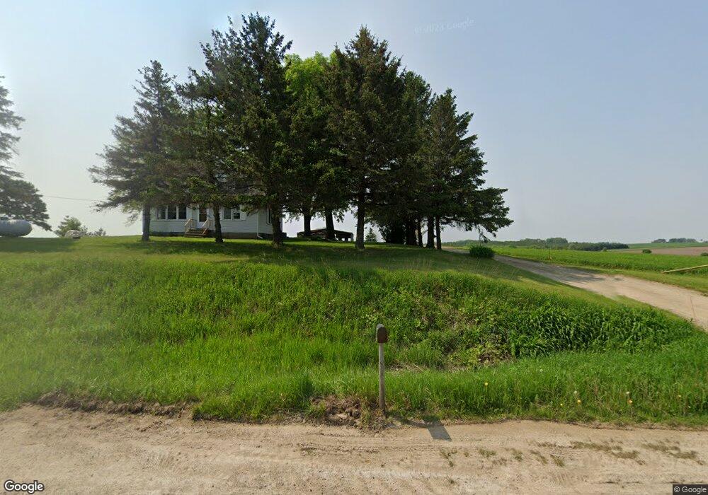
10713 Us Highway 10 Prescott, WI 54021
Estimated Value: $213,153 - $656,000
--
Bed
--
Bath
--
Sq Ft
5
Acres
About This Home
This home is located at 10713 Us Highway 10, Prescott, WI 54021 and is currently estimated at $410,051. 10713 Us Highway 10 is a home with nearby schools including Malone Elementary School, Prescott Middle School, and Prescott High School.
Ownership History
Date
Name
Owned For
Owner Type
Purchase Details
Closed on
Apr 1, 2011
Sold by
Beskar Judith and Beskar Judith A
Bought by
Beskar David J
Current Estimated Value
Home Financials for this Owner
Home Financials are based on the most recent Mortgage that was taken out on this home.
Original Mortgage
$143,500
Interest Rate
2.5%
Mortgage Type
Seller Take Back
Create a Home Valuation Report for This Property
The Home Valuation Report is an in-depth analysis detailing your home's value as well as a comparison with similar homes in the area
Home Values in the Area
Average Home Value in this Area
Purchase History
| Date | Buyer | Sale Price | Title Company |
|---|---|---|---|
| Beskar David J | $187,000 | None Available |
Source: Public Records
Mortgage History
| Date | Status | Borrower | Loan Amount |
|---|---|---|---|
| Closed | Beskar David J | $143,500 |
Source: Public Records
Tax History Compared to Growth
Tax History
| Year | Tax Paid | Tax Assessment Tax Assessment Total Assessment is a certain percentage of the fair market value that is determined by local assessors to be the total taxable value of land and additions on the property. | Land | Improvement |
|---|---|---|---|---|
| 2024 | $2,139 | $140,100 | $28,900 | $111,200 |
| 2023 | $1,981 | $140,100 | $28,900 | $111,200 |
| 2022 | $1,732 | $140,000 | $28,800 | $111,200 |
| 2021 | $2,163 | $108,800 | $20,700 | $88,100 |
| 2020 | $2,342 | $108,700 | $20,600 | $88,100 |
| 2019 | $2,212 | $108,800 | $20,700 | $88,100 |
| 2018 | $2,126 | $108,800 | $20,700 | $88,100 |
| 2017 | $2,205 | $108,800 | $20,700 | $88,100 |
| 2016 | $2,087 | $108,800 | $20,700 | $88,100 |
| 2015 | $2,072 | $108,800 | $20,700 | $88,100 |
| 2014 | $2,058 | $108,800 | $20,700 | $88,100 |
| 2013 | $1,927 | $108,800 | $20,700 | $88,100 |
Source: Public Records
Map
Nearby Homes
- N5620 1090th St
- N5887 1110th St
- W10664 566th Ave
- xxxxx 566th Ave
- N5449 County Rd E
- W10415 521st Ave
- N4848 1110th St
- W11540 504th Ave
- W11011 470th Ave
- W10780 468th Ave
- W11980 565th Ave
- N5687 1210th St
- N4387 1115th St
- W10005 710th Ave
- Lot 2 1098th St
- Lot 16 817 Ave
- 490 Sea Wing Blvd
- 470 Sea Wing Blvd
- 452 Delta Queen Ave
- 2117 Pleasant Dr
- N5712 1090th St
- xxx 1090th St
- Lot 17 566th St
- Lot 17 Aspen Creek
- W10814 566th Ave
- Lot 1 566th Ave
- W10594 560th Ave
- Lot 38 566th Ave
- Lot 37 566th Ave
- Lot 4 566th Ave
- W10475 560th Ave
- Lot 8 566th
- Lot 10A 566th Ave
- Lot 2 C.S. 566th Ave
- Lot 2 C.S.M. 566th Ave
- W10499 560th Ave
- Lot 35 566th Ave
- W10851 566th Ave
- W10790 566th Ave
- 10839 566th Ave