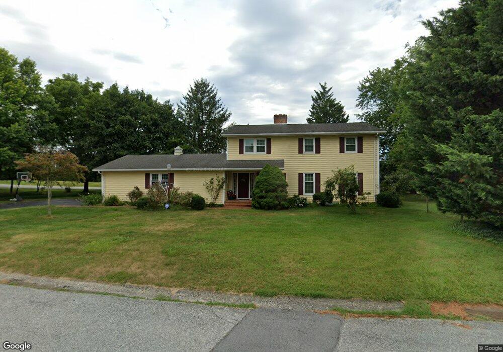
10714 Ewell Dr Williamsport, MD 21795
Estimated Value: $368,289 - $440,000
--
Bed
3
Baths
2,100
Sq Ft
$194/Sq Ft
Est. Value
About This Home
This home is located at 10714 Ewell Dr, Williamsport, MD 21795 and is currently estimated at $408,322, approximately $194 per square foot. 10714 Ewell Dr is a home located in Washington County with nearby schools including Williamsport Elementary School, Springfield Middle School, and Williamsport High School.
Ownership History
Date
Name
Owned For
Owner Type
Purchase Details
Closed on
Mar 14, 2025
Sold by
Smith Glenn C and Smith Martha Sue
Bought by
Smith Glenn C and Smith Martha Sue
Current Estimated Value
Purchase Details
Closed on
Oct 14, 1983
Sold by
Hutzell Alva L
Bought by
Smith Glenn C and Smith Martha S
Purchase Details
Closed on
Jul 7, 1983
Sold by
Mt Tammany Inc
Bought by
Hutzell Alva L
Create a Home Valuation Report for This Property
The Home Valuation Report is an in-depth analysis detailing your home's value as well as a comparison with similar homes in the area
Home Values in the Area
Average Home Value in this Area
Purchase History
| Date | Buyer | Sale Price | Title Company |
|---|---|---|---|
| Smith Glenn C | -- | None Listed On Document | |
| Smith Glenn C | -- | None Listed On Document | |
| Smith Glenn C | $54,100 | -- | |
| Hutzell Alva L | $11,000 | -- |
Source: Public Records
Tax History Compared to Growth
Tax History
| Year | Tax Paid | Tax Assessment Tax Assessment Total Assessment is a certain percentage of the fair market value that is determined by local assessors to be the total taxable value of land and additions on the property. | Land | Improvement |
|---|---|---|---|---|
| 2025 | $2,921 | $307,800 | $69,000 | $238,800 |
| 2024 | $2,921 | $282,133 | $0 | $0 |
| 2023 | $2,667 | $256,467 | $0 | $0 |
| 2022 | $2,400 | $230,800 | $69,000 | $161,800 |
| 2021 | $2,426 | $229,933 | $0 | $0 |
| 2020 | $2,419 | $229,067 | $0 | $0 |
| 2019 | $2,419 | $228,200 | $69,000 | $159,200 |
| 2018 | $2,556 | $219,533 | $0 | $0 |
| 2017 | $2,143 | $210,867 | $0 | $0 |
| 2016 | -- | $202,200 | $0 | $0 |
| 2015 | -- | $202,200 | $0 | $0 |
| 2014 | $2,485 | $202,200 | $0 | $0 |
Source: Public Records
Map
Nearby Homes
- 10642 Hershey Dr
- 10608 Hershey Dr
- 10730 Hershey Dr
- 16722 Custer Ct
- 10701 Bratton Ct
- 11015 Donelson Dr
- 10808 Archer Ln
- 10813 Wilcox Dr
- 10818 Anderson Dr
- 10744 Apple Tree Ln
- 16040 Cloverton Ln
- 16804 Longfellow Ct Unit 652
- 10616 Peachtree Ln
- 16802 Alcott Rd
- 16810 Alcott Rd
- 16847 Longfellow Ct
- 11307 Hawthorne Ct
- 10510 Honeyfield Rd
- 0 Greencastle Pike
- 17125 Miner Ave
- 16602 Johnson Dr
- 16613 Longstreet Dr
- 16608 Johnson Dr
- 16608 Virginia Ave
- 16619 Longstreet Dr
- 16605 Johnson Dr
- 16600 Virginia Ave
- 16612 Johnson Dr
- 16518 Virginia Ave
- 16610 Virginia Ave
- 16516 Virginia Ave
- 16609 Johnson Dr
- 16602 Buford Dr
- 16514 Virginia Ave
- 16623 Longstreet Dr
- 16608 Buford Dr
- 16616 Johnson Dr
- 16613 Johnson Dr
- 16618 Virginia Ave
- 16512 Virginia Ave