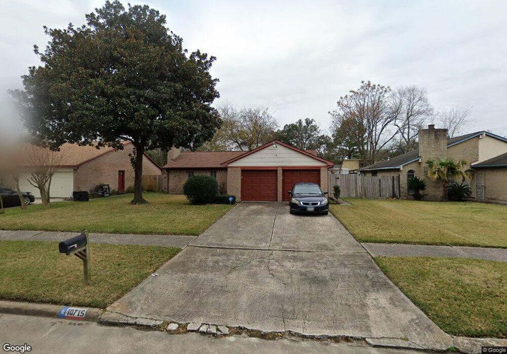
10715 Misty River Dr Houston, TX 77086
North Houston NeighborhoodEstimated Value: $206,946 - $227,000
3
Beds
2
Baths
1,462
Sq Ft
$151/Sq Ft
Est. Value
About This Home
This home is located at 10715 Misty River Dr, Houston, TX 77086 and is currently estimated at $220,737, approximately $150 per square foot. 10715 Misty River Dr is a home located in Harris County with nearby schools including Kujawa EC/Pre-K/K School, Carmichael Elementary School, and Shotwell Middle School.
Ownership History
Date
Name
Owned For
Owner Type
Purchase Details
Closed on
Feb 1, 1996
Sold by
Rodgers K
Bought by
Smith Janie M
Current Estimated Value
Home Financials for this Owner
Home Financials are based on the most recent Mortgage that was taken out on this home.
Original Mortgage
$51,870
Outstanding Balance
$1,709
Interest Rate
7.08%
Estimated Equity
$219,028
Create a Home Valuation Report for This Property
The Home Valuation Report is an in-depth analysis detailing your home's value as well as a comparison with similar homes in the area
Home Values in the Area
Average Home Value in this Area
Purchase History
| Date | Buyer | Sale Price | Title Company |
|---|---|---|---|
| Smith Janie M | -- | First American Title |
Source: Public Records
Mortgage History
| Date | Status | Borrower | Loan Amount |
|---|---|---|---|
| Open | Smith Janie M | $51,870 |
Source: Public Records
Tax History Compared to Growth
Tax History
| Year | Tax Paid | Tax Assessment Tax Assessment Total Assessment is a certain percentage of the fair market value that is determined by local assessors to be the total taxable value of land and additions on the property. | Land | Improvement |
|---|---|---|---|---|
| 2025 | $1,313 | $204,908 | $39,200 | $165,708 |
| 2024 | $1,313 | $207,921 | $39,200 | $168,721 |
| 2023 | $1,313 | $211,777 | $39,200 | $172,577 |
| 2022 | $3,566 | $178,382 | $33,220 | $145,162 |
| 2021 | $3,234 | $148,943 | $33,220 | $115,723 |
| 2020 | $3,269 | $141,168 | $33,220 | $107,948 |
| 2019 | $3,090 | $134,011 | $16,939 | $117,072 |
| 2018 | $1,078 | $126,992 | $16,939 | $110,053 |
| 2017 | $2,462 | $118,951 | $15,211 | $103,740 |
| 2016 | $2,238 | $107,844 | $15,211 | $92,633 |
| 2015 | $1,567 | $100,316 | $15,211 | $85,105 |
| 2014 | $1,567 | $75,842 | $15,211 | $60,631 |
Source: Public Records
Map
Nearby Homes
- 6654 Brownie Campbell Rd
- 6722 Winding Trace Dr
- 6630 Brownie Campbell Rd
- 6610 Northleaf Dr
- 6615 Winding Trace Dr
- 11006 Crinkleawn Dr
- 11009 Panicum Ct
- 11021 Crenchrus Ct
- 11007 Tobasa Ct
- 10522 Northview Dr
- 7002 Sandswept Ln
- 7023 Sandswept Ln
- 6502 Trail Valley Way
- 6911 Silver Star Dr
- 7218 Winding Trace Dr
- 10306 Jillana Kaye Dr
- 6822 Dusty Dawn Dr
- 7222 Northleaf Dr
- 7227 Greenyard Dr
- 13610 Kaltenbrun Rd
- 10719 Misty River Dr
- 10711 Misty River Dr
- 10706 Coralstone Rd
- 10710 Coralstone Rd
- 10723 Misty River Dr
- 10707 Misty River Dr
- 10714 Coralstone Rd
- 10727 Misty River Dr
- 6718 Canyon Way Dr
- 6722 Canyon Way Dr
- 6651 Billikin Dr
- 6655 Brownie Campbell Rd
- 6714 Canyon Way Dr
- 6650 Brownie Campbell Rd
- 10718 Coralstone Rd
- 6726 Canyon Way Dr
- 6702 Canyon Way Dr
- 10803 Misty River Dr
- 6651 Brownie Campbell Rd
- 6647 Billikin Dr